 Photo: Faiz ur Rehman / Pexels
Babusar Pass drive
Babusar Pass carries the road from the Kaghan valley over the mountains towards Chilas and the Karakoram Highway. The drive from Naran climbs through forest, then bare rock, to a cold, open pass.
The road leaves Naran and follows the Kunhar river north through the upper Kaghan valley. Beyond Burawai and Besal the valley narrows and the tree line falls away. The final climb to the pass is slow and exposed. On the far side the road drops towards the Chilas side and the Karakoram Highway. The drive is usually done as a long day from Naran, or as part of a longer loop.
How the drive goes
- MorningLeave NaranSet off early. The road follows the Kunhar north past Jalkhad and Burawai, with the valley still green and the river close.
- Mid-morningBesal and beyondPast Besal the road climbs more steadily. Trees thin out and the ground turns to loose rock and grass. Stops are short and exposed.
- MiddayThe final climbThe last stretch to the pass is narrow in places and slow. Snow can lie at the top into early summer. Take the climb gently.
- At the topBabusar PassThe pass is open and cold, with views back down the Kaghan valley. There is little shelter. Keep the stay short if the weather is turning.
- AfternoonReturn or descendEither turn back to Naran or continue down towards Chilas. The descent is long. Allow time to reach the Karakoram Highway before dark.
What to bring
- Warm layers and a windproof jacket, even in midsummer
- Food and drinking water for the day, as supplies above Besal are limited
- A charged phone and a paper map or offline map
- Sun protection: hat, sunglasses and sunscreen
- Any medicines you need, plus a basic first aid kit
Know before you go
- The pass is usually open from June to September; dates change with snow and road repairs.
- The road is narrow and unpaved in parts. A vehicle with good clearance is sensible.
- Altitude at the pass is over 4,000 m. Headaches and breathlessness are common; descend if symptoms worsen.
- Mobile signal is patchy above Besal. Tell someone your plan before leaving Naran.
- Check current road and security advice locally before setting out. Rules can change.
Where it starts
The drive starts in Naran, the main town of the Kaghan valley in Khyber Pakhtunkhwa. Naran is reached by road from Mansehra and Balakot, a mountain journey of several hours from the Hazara plains.
The road from Naran
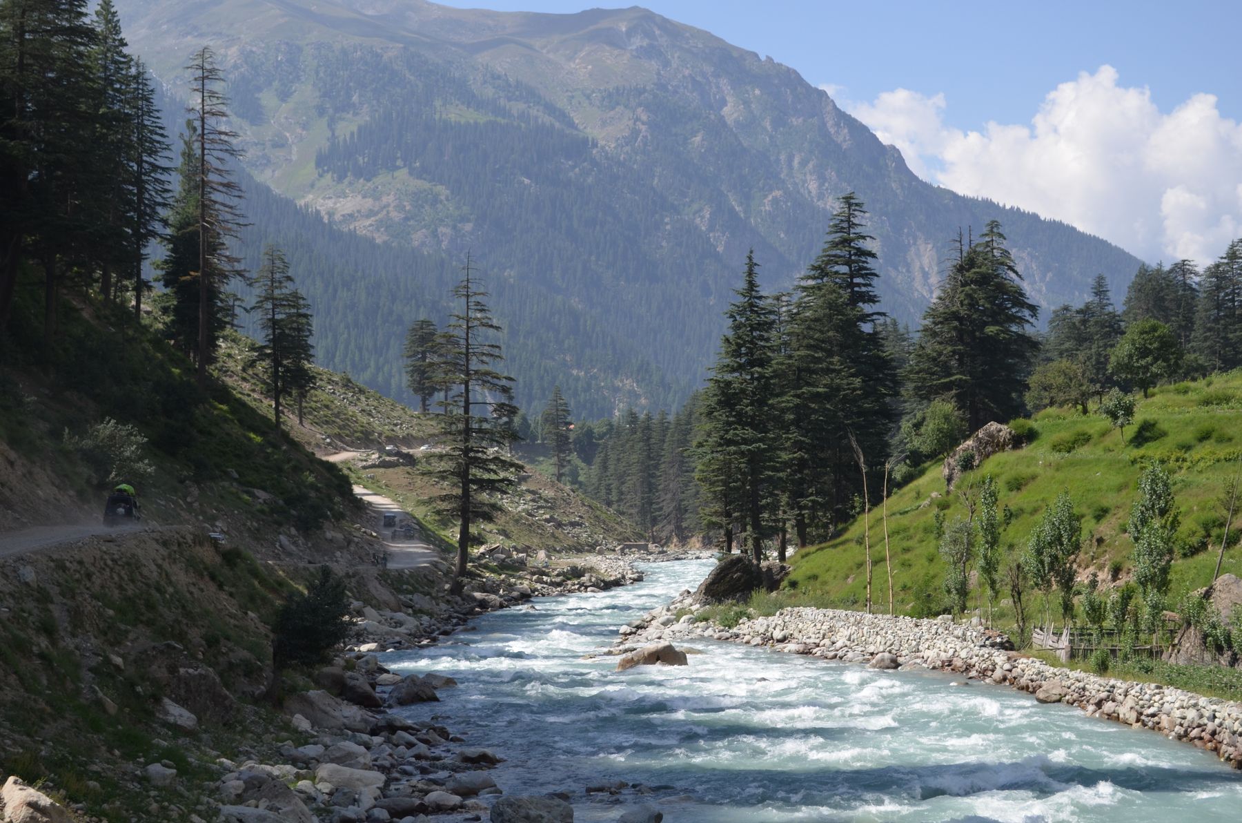
From Naran the road runs north along the Kunhar river. For the first hour or so the valley is wide enough for fields and scattered villages, with the river never far from the road. Jalkhad and Burawai are small settlements where the valley begins to feel higher and cooler. Traffic is light early in the day.
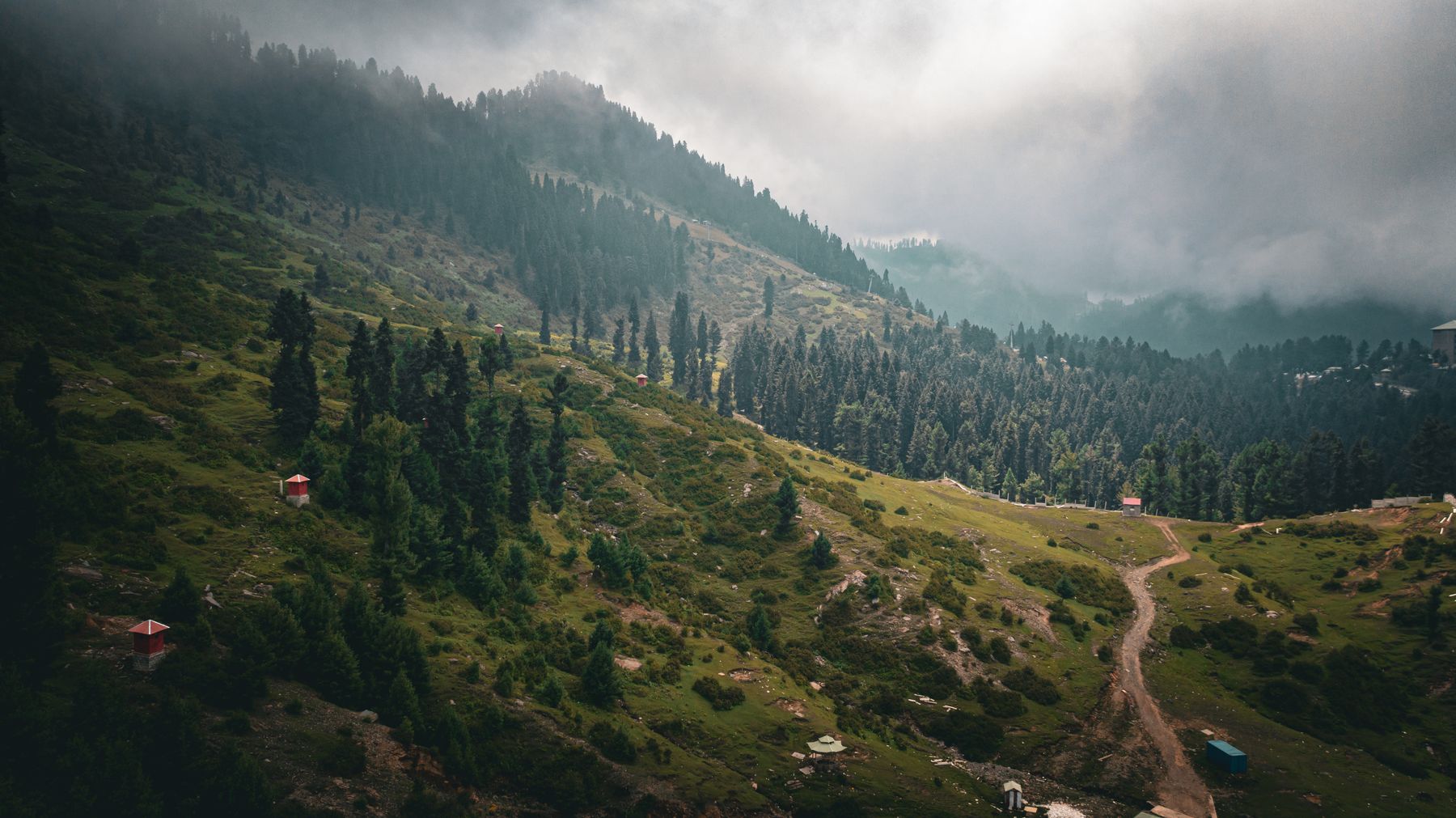
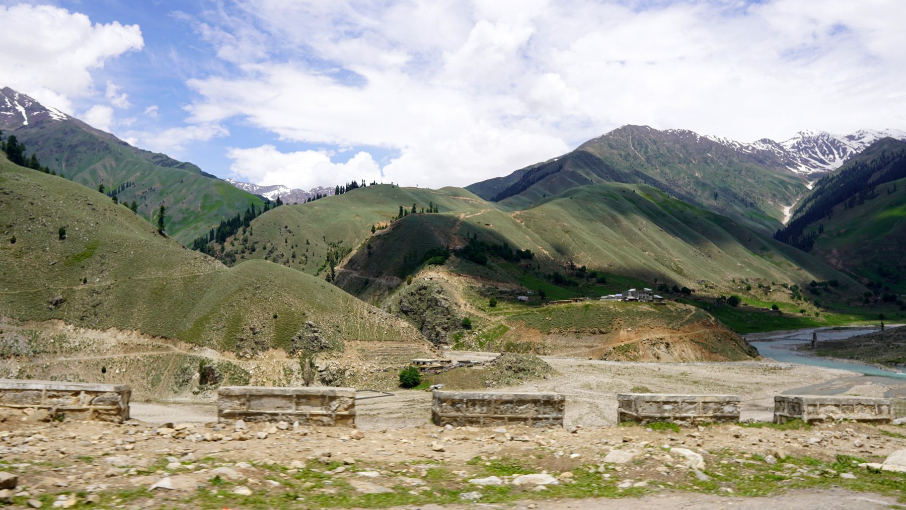
Beyond Burawai the character changes. The road climbs more steadily, the river drops below, and the slopes on either side become steeper. Besal is the last village of any size before the pass. Above it the landscape is open, with grass, scree and patches of snow that can last into July. The surface is mixed, with stretches of broken tarmac and gravel.
Driving conditions
The road is narrow in places and has no barriers on some bends. Drive slowly and give way on blind corners. After rain, rockfall and small landslides can block the way. Local drivers know the road well and are usually willing to advise on conditions ahead.
At Babusar Pass
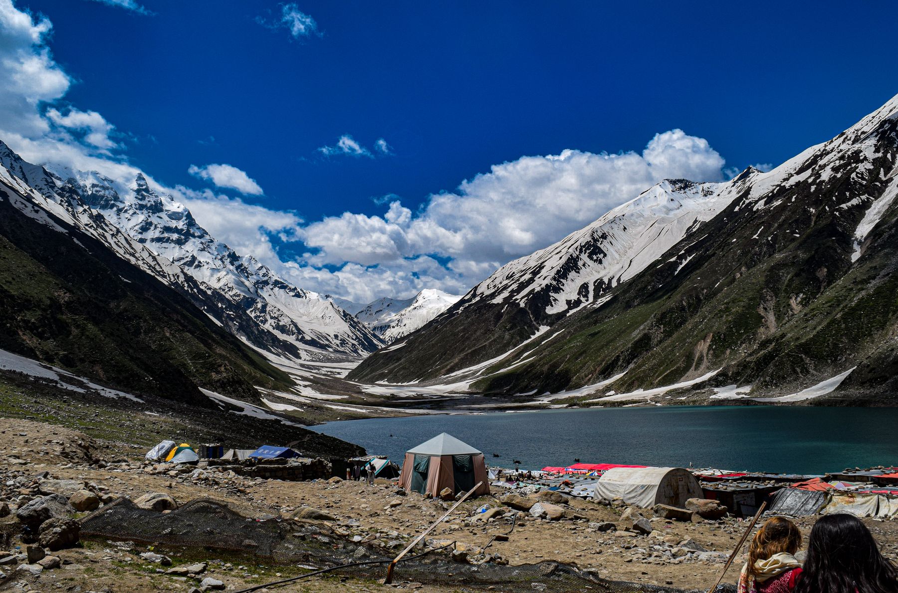
Babusar Pass sits at around 4,173 metres. The top is a broad, bare saddle with a small marker and open views in both directions. On a clear day the peaks of the surrounding ranges are visible, and the road can be seen winding down towards the Chilas side. The air is thin and the wind is often strong.
There is no village at the pass and little shelter. Travellers usually stop briefly for photographs and then move on. Because of the altitude, it is worth watching for headaches, nausea or shortness of breath. If these appear, the safest response is to descend rather than wait at the top.
Altitude and weather
Weather at the pass can change quickly. Cloud can close in within an hour, and snow has been recorded in midsummer. Even on warm days the temperature at the top is much lower than in Naran. Carry a warm layer and be ready to turn back if conditions worsen.
Planning the drive
The drive from Naran to the pass and back is a full day. Most people leave early, reach the pass around midday and return to Naran by late afternoon. Continuing over the pass to Chilas is possible but makes for a much longer day, and the descent on the northern side is rough in places. Many travellers prefer to break the journey.
Vehicles can be hired in Naran, often with a local driver who knows the road. A four-wheel-drive is not always necessary in dry weather, but clearance helps on the rougher sections. Fuel is available in Naran but not reliably further up the valley, so fill up before leaving.
Permits and advice
The Babusar road crosses into Gilgit-Baltistan on the northern side. Access rules and security advice for the route can change, and some areas may require a No Objection Certificate. Check current official advice and local conditions before setting out, and carry identification.
Frequently asked questions
When is Babusar Pass usually open for driving?
The pass is generally open from June to September. Snow can keep the road closed into early summer, and early autumn snow can close it again. Opening and closing dates vary each year, so check locally in Naran before planning the drive.
Do you need a four-wheel-drive for the Babusar Pass drive?
In dry summer weather, a car with reasonable ground clearance can manage the road. A four-wheel-drive is more comfortable on the rougher gravel sections. Many travellers hire a vehicle with a local driver in Naran who knows the current conditions.
How long does the drive from Naran to Babusar Pass take?
The one-way drive from Naran to the pass typically takes three to four hours, depending on stops and road conditions. Most people do it as a full-day return trip from Naran, leaving in the morning and returning by late afternoon.
Is altitude sickness a concern at Babusar Pass?
The pass is above 4,000 metres, so altitude symptoms such as headache and breathlessness are possible. The climb from Naran is gradual, which helps. Keep the stay at the top short, avoid strenuous activity and descend if symptoms become worse.
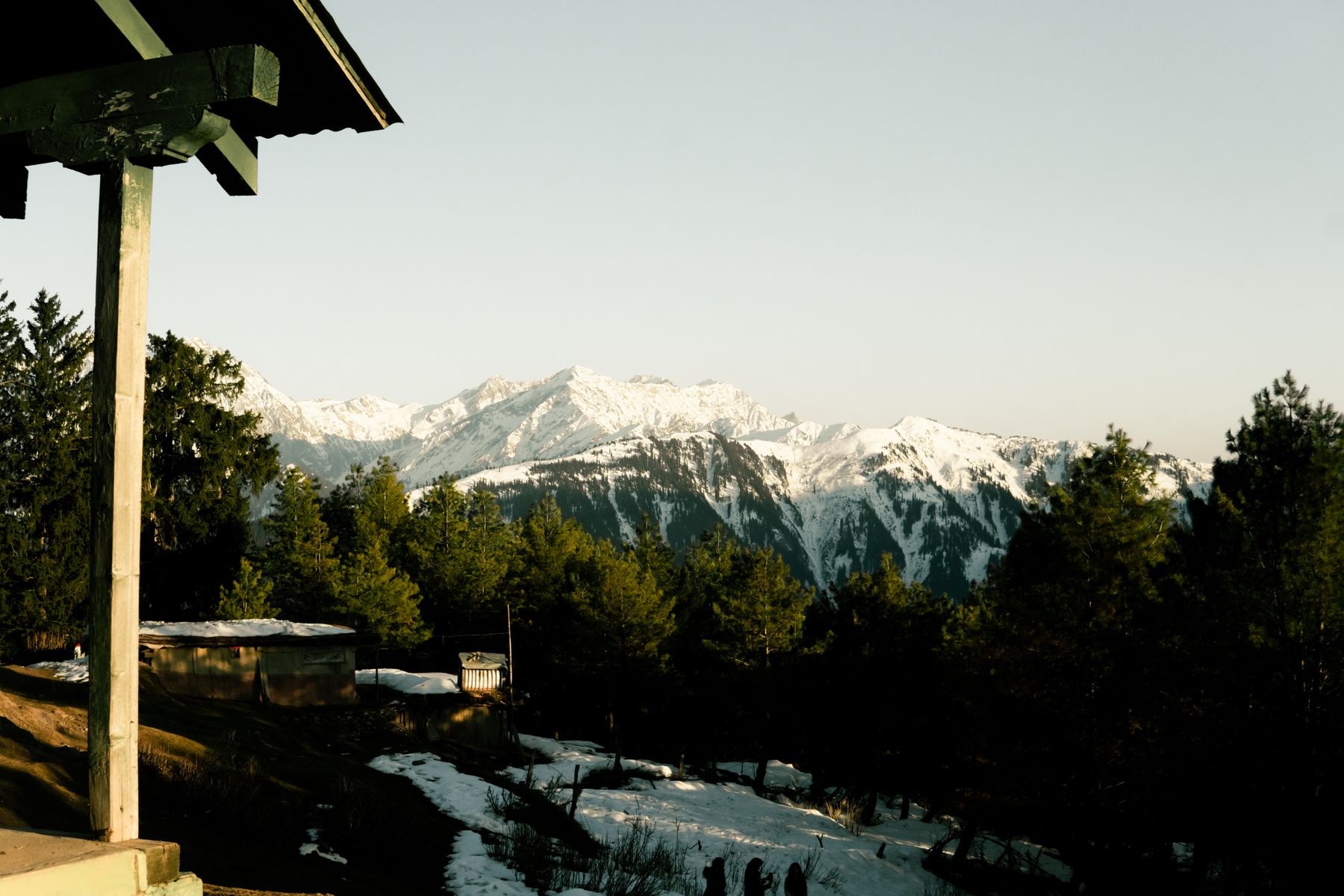 Photo: Usman Saddqiue / Pexels
Where to stay near the pass
Most travellers base themselves in Naran or the smaller villages of the Kaghan valley, where accommodation is available in summer.