 Photo: Asif Rafiq / Pexels
Kalam river and forest walk
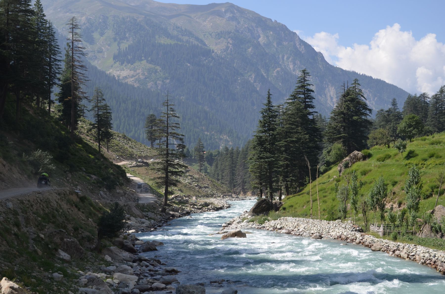
The walk from Kalam follows the Swat River upstream and then turns into the forested slopes above the valley. It is a half-day outing on shaded tracks, with the sound of water for much of the way.
Kalam sits at the confluence of the Swat River and its tributaries, surrounded by forested hills. The river and forest walk is the simplest way to see both without committing to a full trek. Tracks run along the riverbank and climb gently into the woods. The route is not a single marked trail, so most travellers take a local guide or follow the main forest track.
How the walk goes
- MorningStart by the riverBegin at the bridge in Kalam and follow the riverbank upstream. The path is clear for the first stretch and passes several small side streams.
- Mid-morningInto the forestLeave the river where a forest track turns uphill. The climb is steady but short, and the track is shaded by pine and deodar.
- MiddayViewpoint and restA clearing above the valley gives a view back towards Kalam and the river junction. Stop here for a rest and something to eat.
- AfternoonReturn by the riverDescend on a different path that rejoins the riverbank lower down. The return is mostly downhill and follows the water back to the bridge.
What to bring
- Walking shoes with grip for loose stones and roots
- A light waterproof jacket, as showers are common in summer
- Drinking water and a packed lunch, as there are no shops on the route
- A hat and sun protection for the open riverbank sections
- A local guide if you plan to leave the main forest track
Know before you go
- The walk is on uneven ground with some short steep sections; allow three hours at an easy pace.
- Mobile signal is limited in the forest; tell someone at your accommodation where you are going.
- The area is generally quiet, but check current travel advice for Swat and Kalam before setting out.
- Some forest tracks cross private land; ask locally before leaving the main path.
- Snow and rain can make the track slippery outside the main season.
Where it starts
The walk starts at the main bridge in Kalam, where the road crosses the Swat River. Kalam is reached by road from Mingora and Saidu Sharif, a drive of several hours through the Swat Valley.
The route in detail
From the bridge in Kalam, a track follows the true right bank of the Swat River upstream. The water is fast and clear here, fed by glaciers and snowmelt from the surrounding peaks. After about twenty minutes the track passes a small side stream and reaches a fork. The riverbank path continues ahead, while a forest track turns left and climbs into the trees.
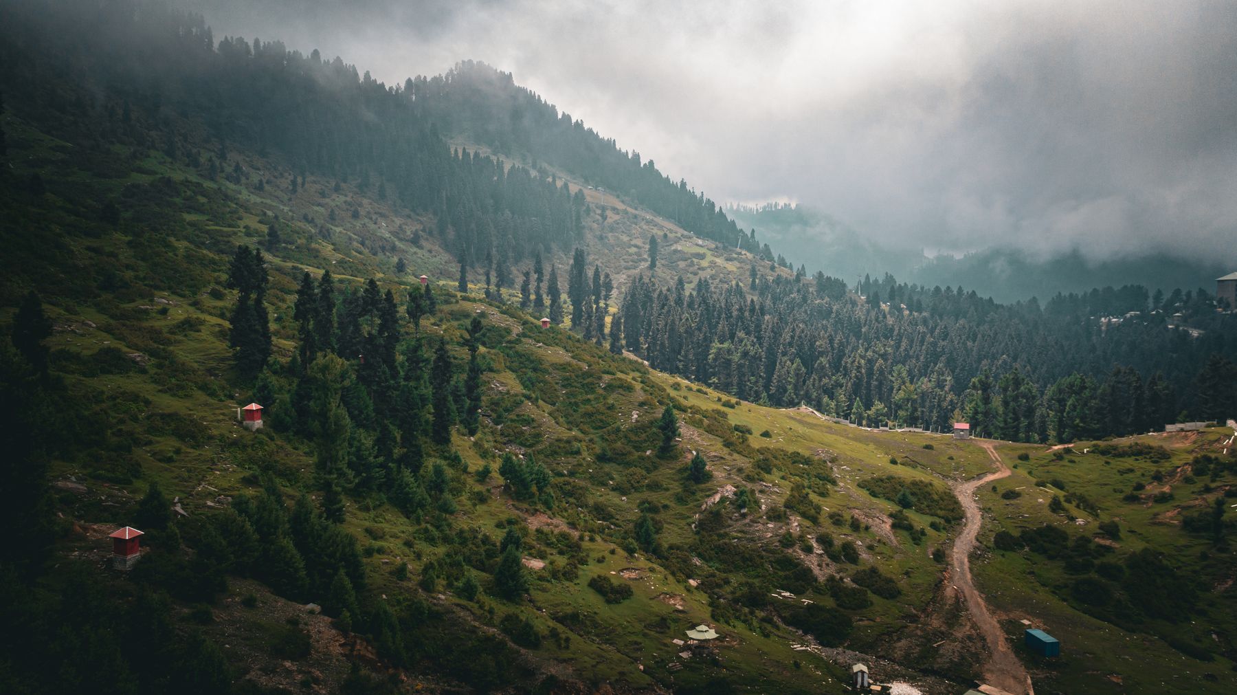
The forest track is the main objective of the walk. It winds through a mix of pine and deodar, with occasional openings that give views across the valley. The gradient is gentle at first and then steepens for a short section before reaching a clearing. From the clearing, the return can be made by the same track or by a lower path that rejoins the riverbank further downstream.
The riverbank section
The first part of the walk stays close to the water. The path is narrow in places and passes through low scrub and occasional stands of birch. In spring and early summer the river is high with meltwater, and the noise of the water is constant. Take care near the edge, as the banks can be undercut.
The forest climb
The forest track climbs away from the river into denser woodland. The trees are tall and the canopy shades most of the path. The ground can be muddy after rain, and roots and stones make the footing uneven. The clearing at the top is a natural turning point and a good place to rest before descending.
When to go
The walk is best from May to October, when the tracks are clear and the weather is generally mild. In May and June the forest is green and the river is high with snowmelt. July and August are warmer and can bring afternoon showers, so an early start is sensible. By October the nights are cold and the leaves are turning.
Outside this window, snow can lie on the forest tracks and the side streams may be difficult to cross. Kalam is at around 1,900 metres, so winter conditions can persist into April. If visiting in the shoulder months, check locally whether the track is passable before setting out.
Practical notes
The walk is not a formal trail and there are no signs along the route. Most travellers hire a local guide in Kalam, either through their accommodation or from the bazaar. A guide is not required for the riverbank section, but is useful for the forest tracks, which branch in several places. Travellers sometimes take a jeep to a higher starting point, but the walk from the bridge is the standard route.
There are no shops or facilities on the route, so carry water and food. The nearest supplies are in Kalam bazaar. Mobile coverage is patchy in the forest. The area is generally calm, but rules and advisories for Swat and the surrounding districts can change, so check current official advice before travelling.
Frequently asked questions
How long does the Kalam river and forest walk take?
Most people take about three hours at an easy pace, including a rest at the clearing. The riverbank section is roughly twenty minutes each way, and the forest climb adds an hour or more depending on how far you go.
Do I need a guide for the Kalam river and forest walk?
A guide is not compulsory for the riverbank path, which is easy to follow. For the forest tracks, a local guide is recommended because the paths branch and are not marked. Guides can be arranged in Kalam through accommodation or the bazaar.
What is the best season for the Kalam river and forest walk?
May to October is the most reliable period. The track is usually clear of snow and the weather is mild. July and August can bring rain, so start early. In winter and early spring, snow may block the forest tracks.
Is the Kalam river and forest walk suitable for children?
The riverbank section is gentle and suitable for most ages, though care is needed near the water. The forest climb is steeper and can be muddy, so it may suit older children. Good footwear is advised for everyone.
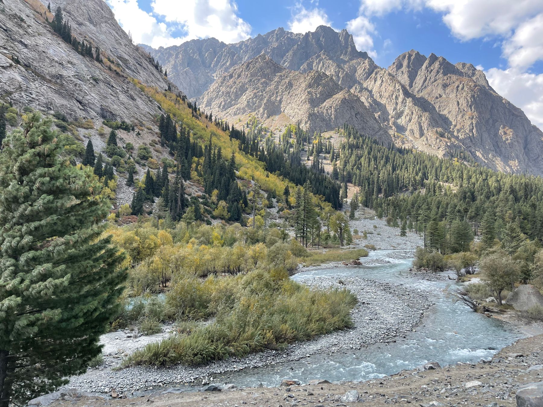 Photo: Raheel Mughal / Pexels
Staying in Kalam
Kalam has a range of small hotels and guest houses, mostly along the main road and near the river. Book ahead in summer.