 Photo:
Getting to Chitral
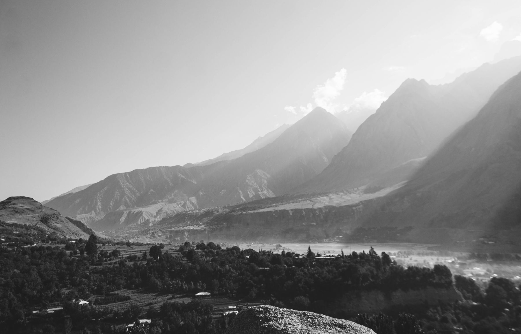
Chitral town lies at about 1,500 metres in a valley of the Chitral River, below the Hindu Kush. The main road from the south crosses the Lowari Pass from Dir. The pass is high and is usually closed by snow in winter. A tunnel on the Lowari route has improved access, but the road can still be slow. The drive from Dir takes several hours in good conditions.
Pakistan International Airlines has in the past operated flights between Islamabad and Chitral, but schedules change and flights are often cancelled by weather. Check current schedules before relying on air travel. From Gilgit, a road runs north over the Shandur Pass towards Mastuj and Chitral. The Shandur Pass is also seasonal and is usually open in summer only.
Road conditions
The Lowari road is narrow in places and can be busy with trucks. Landslides and snow can block it. Allow a full day from Dir and check conditions locally before leaving. The side valleys south of Chitral use narrow jeep tracks.
Chitral town
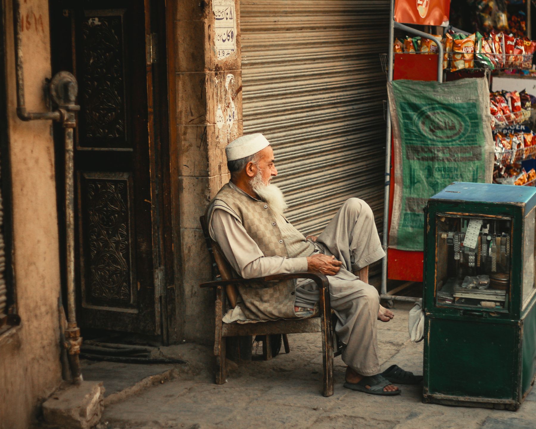
Chitral town is the administrative centre of the district. The bazaar runs along the main street, with shops selling cloth, hardware and food. The Chitral Fort stands above the river and dates from the nineteenth century, though the site is older. The fort is a landmark rather than a fully open monument, and access can be limited. Ask locally before approaching.
The Shahi Qila, or royal fort, and the nearby mosque are part of the town's history. The Chitral Museum holds local crafts and items from the Kalash and other communities. The town is a practical base for the valleys, with the main road south to Ayun and the Kalash turn-offs.
The Kalash valleys
Three valleys south and west of Chitral hold the Kalash villages: Bumburet, Rumbur and Birir. The Kalash speak their own language and follow a religion that is distinct from Islam. Their festivals include Chilam Joshi in spring and Chaumos in winter. Visitors are welcome in many villages, but these are living communities, not open-air museums.
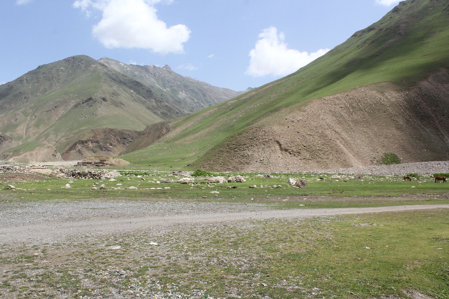
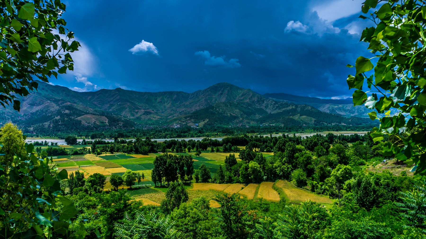
Bumburet is the most visited valley and has the easiest road. Rumbur and Birir are quieter and their tracks are narrower. The valleys lie at roughly 2,000 metres, with terraced fields and walnut trees. The Kalash build wooden houses with carved pillars and decorated doorways. Ask before entering a village or photographing people.
Festival timing
Kalash festivals follow the seasonal calendar. Chilam Joshi falls in spring and Chaumos in winter. Dates can shift, so check locally before planning a trip around a festival. Outside festival times the valleys are quiet.
Access and permits
The Kalash valleys are generally open to visitors, but rules can change. Some areas near the Afghan border may require a No Objection Certificate (NOC). Check current official advice before travelling and carry identification.
Seasons and practicalities
The easiest months for Chitral and the Kalash valleys are from May to October. Spring brings blossom in the valleys, and summer is warm in the day and cool at night. The Lowari Pass is usually open in these months, though rain can cause landslides. Winter closes the pass and cuts road access, though flights sometimes continue.
Chitral is a conservative area. Dress modestly, especially in villages. Alcohol is not openly available. The Kalash make their own wine for festivals, but visitors should not assume it is offered. Mobile coverage is patchy in the side valleys. Carry cash, as there are few banks outside the town.
Safety and advice
Chitral has generally been calm for travellers, but the region borders Afghanistan and rules can change. Some border districts and parts of the wider region may need an NOC. Check current official advice before going and follow local guidance.
Frequently asked questions
When is the best time to visit Chitral and the Kalash valleys?
May to October is the easiest window. The Lowari Pass is usually open and the side valley tracks are passable. Spring brings blossom, and summer is warm. Winter snow closes the pass and can cut road access, though flights sometimes continue.
Do you need a permit for the Kalash valleys?
The Kalash valleys are generally open to visitors, but rules can change. Some areas near the Afghan border may require a No Objection Certificate (NOC). Check current official advice before travelling and carry identification.
How do you reach Chitral?
Most travellers come by road over the Lowari Pass from Dir, which takes several hours. A tunnel has improved the route, but the pass can close in winter. Flights from Islamabad have operated in the past, but schedules change and weather often causes cancellations.
What should you respect when visiting Kalash villages?
The Kalash are a small community with their own religion and festivals. Ask before taking photographs or entering a village. Dress modestly, do not assume alcohol is offered, and follow any local guidance. These are living villages, not tourist sites.