 Photo:
The route and the road
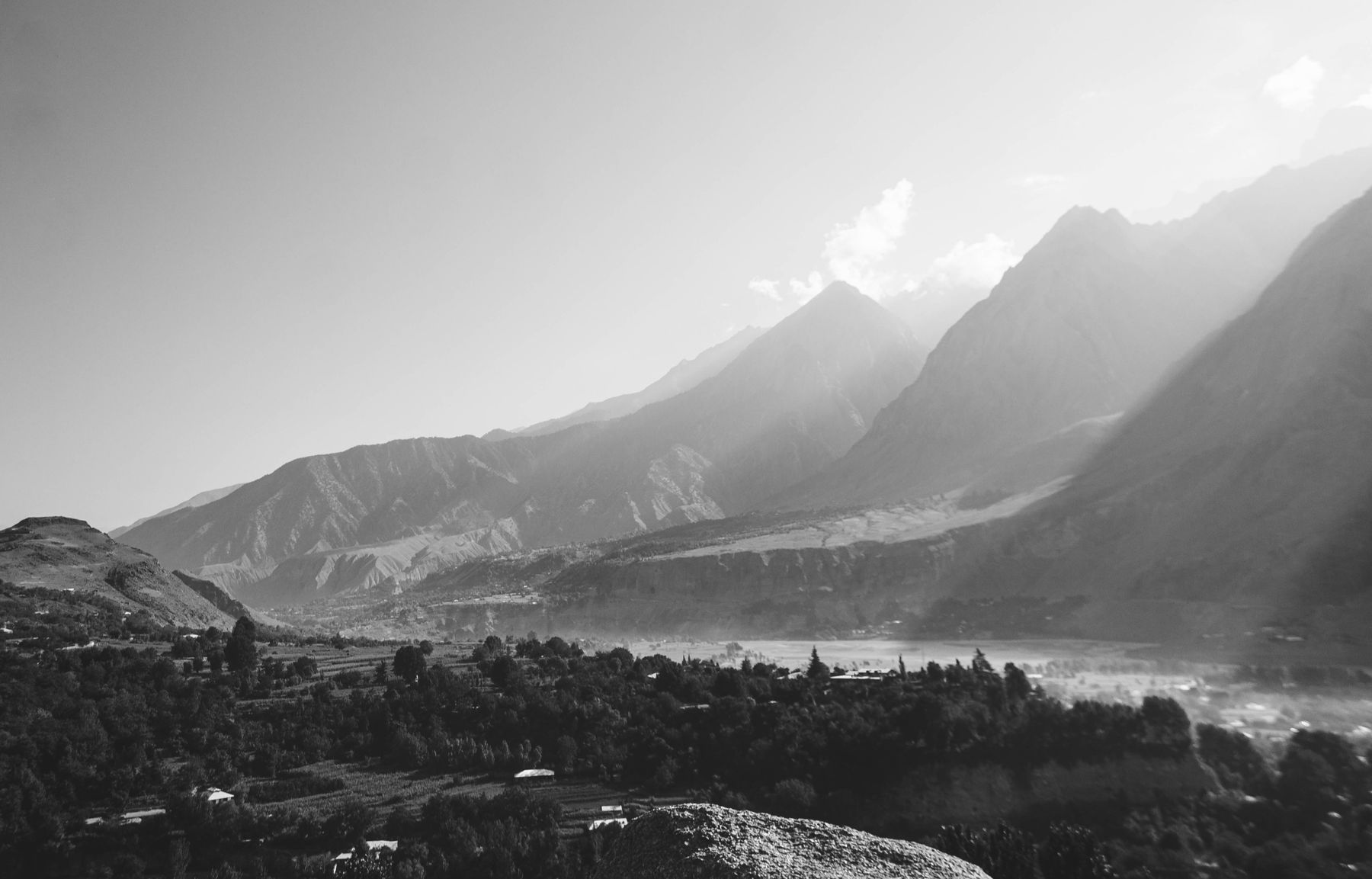
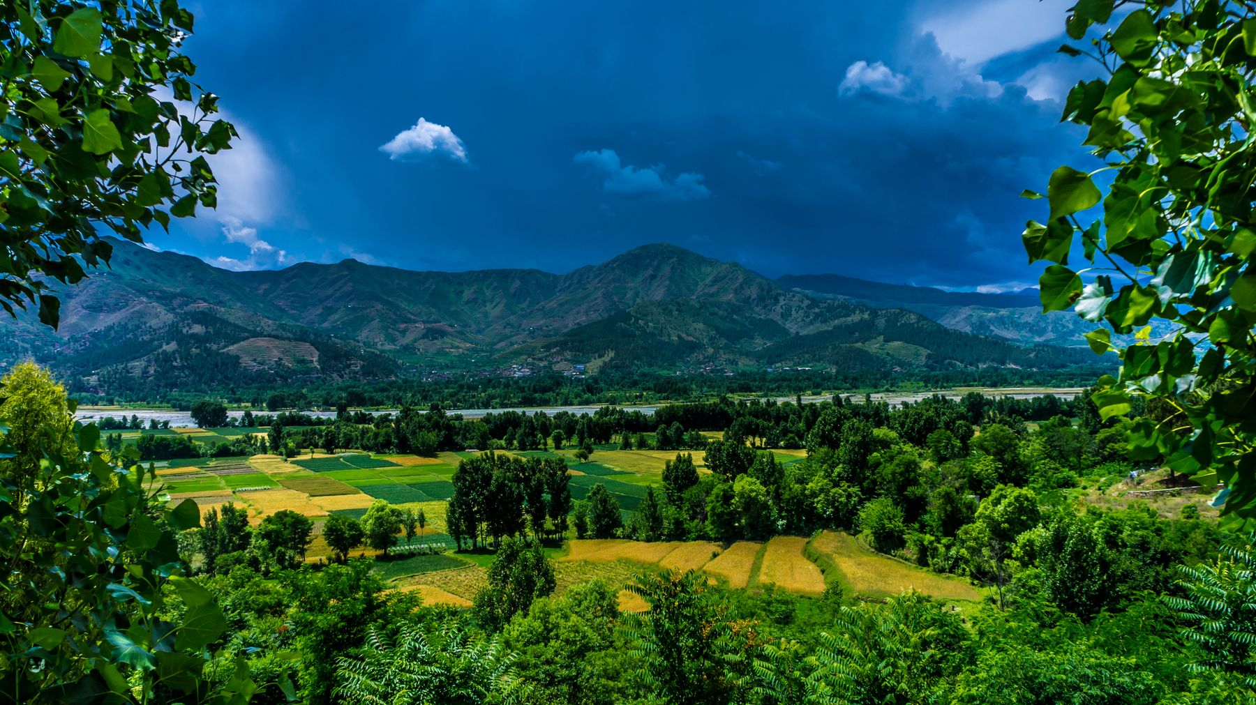
The trip starts at Balakot, where the Kaghan valley road leaves the Mansehra highway. From there the Kunhar river is the guide, and the road stays close to it for most of the way to Naran. Kaghan village, Jalkhad and Burawai are the main settlements on the climb. The surface is paved but narrow in places, with blind corners and sections that slide in the monsoon.
Beyond Naran the road continues to Burawai, Gittidas and Babusar Top. This upper stretch is the most exposed. It is usually open from late June to September and closed by snow for the rest of the year. The descent from the pass runs towards Chilas and the Karakoram Highway.
Driving times
Distances look short on a map but take longer than expected. Traffic, roadworks and weather all add time. Plan to reach Naran before dark and avoid driving the upper valley at night.
Naran and the lake
Naran is the hub of the valley. It has a bazaar, a range of places to stay and jeeps for the lake track. The town is busy in summer and quiet once the season ends. Most travellers use it as a base for two nights.
Lake Saif-ul-Malook sits above the treeline, reached by a rough jeep track from Naran. The walk up takes several hours and is best started early. The lake is ringed by peaks, and the water stays cold through summer. Weather can change quickly at this height.
Around the bazaar
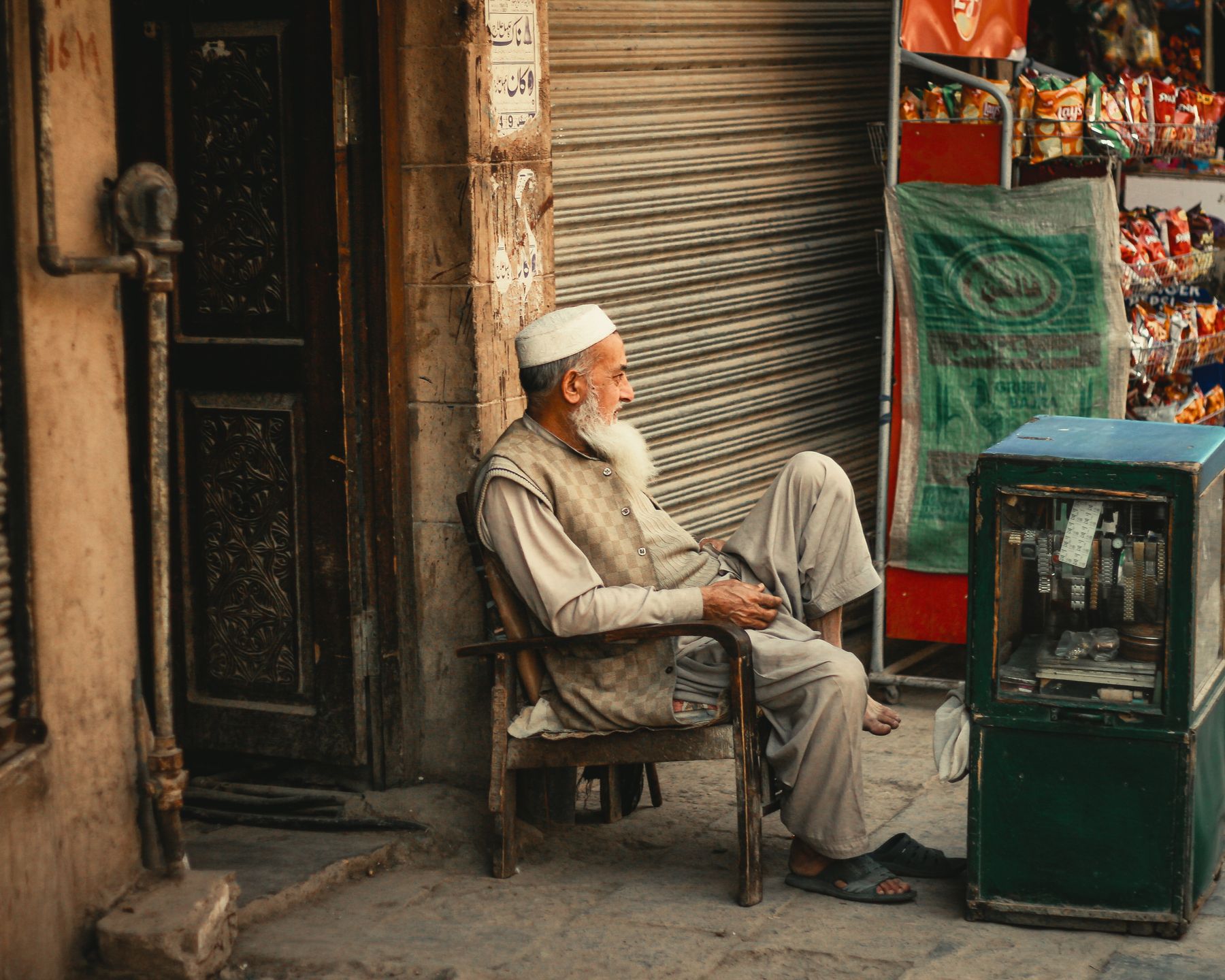
The Naran bazaar sells food, warm clothing and basic supplies. It is the last place in the valley with a wide choice of goods, so stock up here before heading further east.
Crossing Babusar
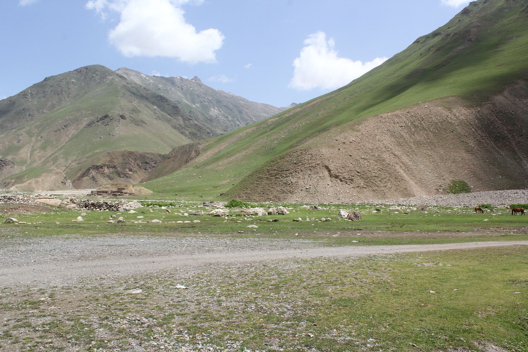
Babusar Top is the high point of the drive, at over 4,000 m. The climb from Naran passes Burawai and Gittidas, where the valley opens into alpine meadows. Snow patches can remain beside the road into July. The pass itself is a broad saddle with views back down the valley.
The road over the pass connects Khyber Pakhtunkhwa with Gilgit-Baltistan. It is a summer route only. Conditions change with the weather, and the descent towards Chilas is long. Check the road status in Naran before committing to the crossing.
Altitude and weather
The pass is high enough to cause breathlessness in some travellers. Take the climb slowly, drink water and turn back if the weather closes in. Afternoon cloud and rain are common.
Seasons and practicalities
The valley road is busiest from June to September, when the pass is open and schools are on holiday. July and August bring monsoon rain, which can trigger landslides on the lower road. Late June and September are quieter and often clearer.
Spring brings blossom to the lower valley, but the upper road is still closed by snow. Autumn is short and cool. Winter closes the Babusar route and much of the upper valley, though Naran itself can be reached in good weather.
Permits and advice
The Babusar crossing into Gilgit-Baltistan may require identification checks. Rules change, so check current official advice before travelling. Some border districts elsewhere in the north need a No Objection Certificate.
Frequently asked questions
When is the Babusar road open?
The Babusar pass road is usually open from late June to September, depending on snow clearance and landslides. It closes for the rest of the year. Conditions vary each season, so check the current status locally in Naran before setting out.
How long does the drive from Islamabad to Naran take?
The drive is usually done in a day, with a break at Balakot or Mansehra. Traffic, roadworks and weather affect timing. Many travellers break the journey at Balakot and continue to Naran the next morning.
Can you reach Lake Saif-ul-Malook by car?
The lake is reached by a rough jeep track from Naran. Local jeeps run the route, and walking part of the way is possible. The track is steep and narrow, and weather can change quickly at the lake.
What should you pack for Naran and Babusar?
Pack warm layers, rain protection and sturdy shoes. Nights are cold above 2,400 m even in summer, and the pass is colder. Carry cash and fuel before leaving Balakot, as services thin out up the valley.