 Photo:
Visiting Islamabad
What the place is like
Islamabad is laid out in sectors, each marked by a letter and number, with markets, schools and houses inside. The streets are wide and tree-lined, and many sectors have their own small bazaar. Government buildings cluster in the centre, around the Blue Area and the Constitution Avenue. The city feels open and green, with the Margalla Hills forming a wall to the north.
The climate is hot in summer and mild in winter. May and June bring temperatures above 40 C, and the monsoon rains arrive in July and August. Winter days are cool and clear, with cold nights. Spring and autumn are the most comfortable seasons for walking and for views of the hills.
The Margalla Hills
The hills rise steeply north of the city and are protected as a national park. Tracks lead up from several points, including Trail 3 and Trail 5, and the road to Daman-e-Koh and Pir Sohawa climbs through the forest. Leopards live in the hills but are rarely seen. Walking early in the day is cooler and quieter.
What to see
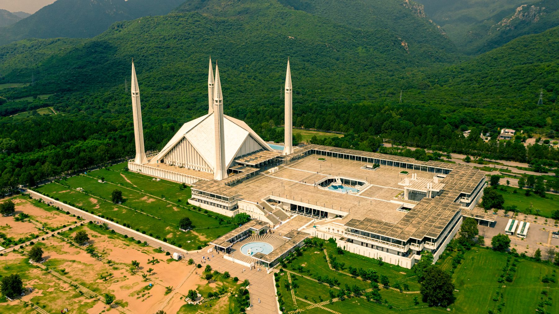
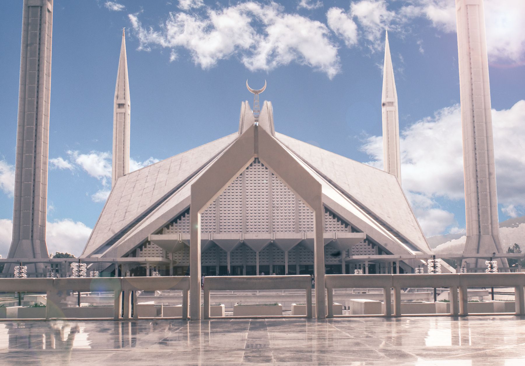
Faisal Mosque is the best-known building in the city. Its angular concrete form and tall minarets stand against the hills, and the prayer hall is large enough to hold thousands. Visitors can enter outside prayer times, and dress should be modest. The Pakistan Monument on Shakarparian, shaped like a blooming flower, is a short drive away and has a terrace looking over the city.
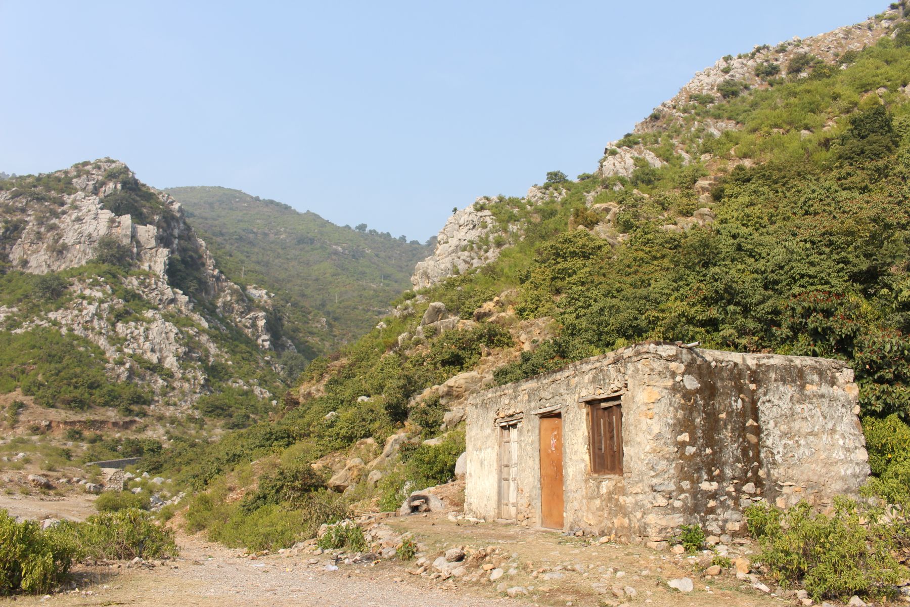
Saidpur village sits in a ravine below the hills, with stone houses, a small Hindu temple site and a bazaar street. It is a short trip from the centre and can be combined with a walk in the hills. Rawal Lake, to the south-east, has a park and paths along part of the water, and is popular at weekends.
Museums and gardens
The Pakistan Museum of Natural History and the Lok Virsa museum, both on Shakarparian, cover the country's natural history and folk culture. The Rose and Jasmine Garden and the Japanese Garden are small and easy to visit. Opening hours vary, and some sites close on one day of the week, so check before setting out.
A day or two there
A first day can start at Faisal Mosque in the morning, then move to Shakarparian for the Pakistan Monument and one of the museums. In the afternoon, drive up to Daman-e-Koh for the view, and continue to Pir Sohawa if time allows. The evening is a good time for the Blue Area or a sector market.
A second day can take in Saidpur village and a walk on one of the Margalla trails, followed by Rawal Lake in the afternoon. Rawalpindi's Raja Bazaar and the old streets around it are close and make a contrast to the planned capital. A day trip to Murree or the Taxila ruins is possible but needs an early start.
With children
The lake park, the natural history museum and the hill road to Daman-e-Koh suit families. The trails vary in difficulty, and the lower paths are short and shaded. Weekends are busier at all these places, so weekday visits are calmer.
Getting there and around
Islamabad has an international airport south-west of the city, with domestic flights to other Pakistani cities and some international routes. The main road link from the south is the motorway network, and Rawalpindi is directly adjoining. Long-distance buses and vans connect the city with Peshawar, Lahore and the northern valleys, mostly from terminals in Rawalpindi.
Within the city, taxis and ride-hailing apps are the simplest way to move between sectors and sights. Local buses and vans run on many routes but are less easy for a short visit. Distances are short by road, though traffic builds at peak hours. Walking is pleasant in the sector streets and parks.
To the north
The Karakoram Highway leaves the city area to the north-west and runs towards Gilgit and Hunza. Shared transport and private cars cover the route, and the drive to the northern valleys takes many hours. The road can be affected by landslides in the monsoon, and passes may close in winter.
Practical notes
Spring and autumn are the best seasons, with mild days and clear views of the hills. Summer is hot and the monsoon brings rain and humidity. Winter days are cool and often sunny, with cold nights. The city is generally calm, and the main sights are open through the year, though some close on one day a week.
Dress modestly at mosques and in older neighbourhoods. Tap water is not usually drunk without treatment, and bottled water is widely available. Mobile coverage is good across the city. Some hill roads and trails are best avoided after heavy rain.
Permits and advice
Most of Islamabad needs no permit. Travel towards border districts and parts of Azad Kashmir can require a No Objection Certificate, and rules change. Check current official advice before travelling to those areas. The Margalla Hills park has its own rules on fires, litter and walking after dark.
Frequently asked questions
What is the altitude of Islamabad?
Islamabad sits at about 540 m on a plateau south of the Margalla Hills. The hills rise to more than 1,000 m within the city's northern edge, so the height varies across the area. The city centre is low and flat, while the hill roads climb quickly.
When is the best time to visit Islamabad?
October to April is the most comfortable period, with mild days and clear views of the hills. May and June are hot, often above 40 C, and July and August bring monsoon rain. Winter days are cool and sunny, though nights can be cold.
How do you get to Islamabad?
Islamabad has an international airport south-west of the city, with domestic and some international flights. The motorway network links the city to Lahore and Peshawar, and Rawalpindi adjoins it to the south-west. Long-distance buses mostly leave from Rawalpindi terminals.
What can you see in Islamabad in one day?
A single day can cover Faisal Mosque, the Pakistan Monument and a museum on Shakarparian, then the viewpoint at Daman-e-Koh. Saidpur village or Rawal Lake can fill the late afternoon. Distances are short by road, but traffic at peak hours adds time.