 Photo: Elements Interactive / Pexels
Margalla Hills Trail 3
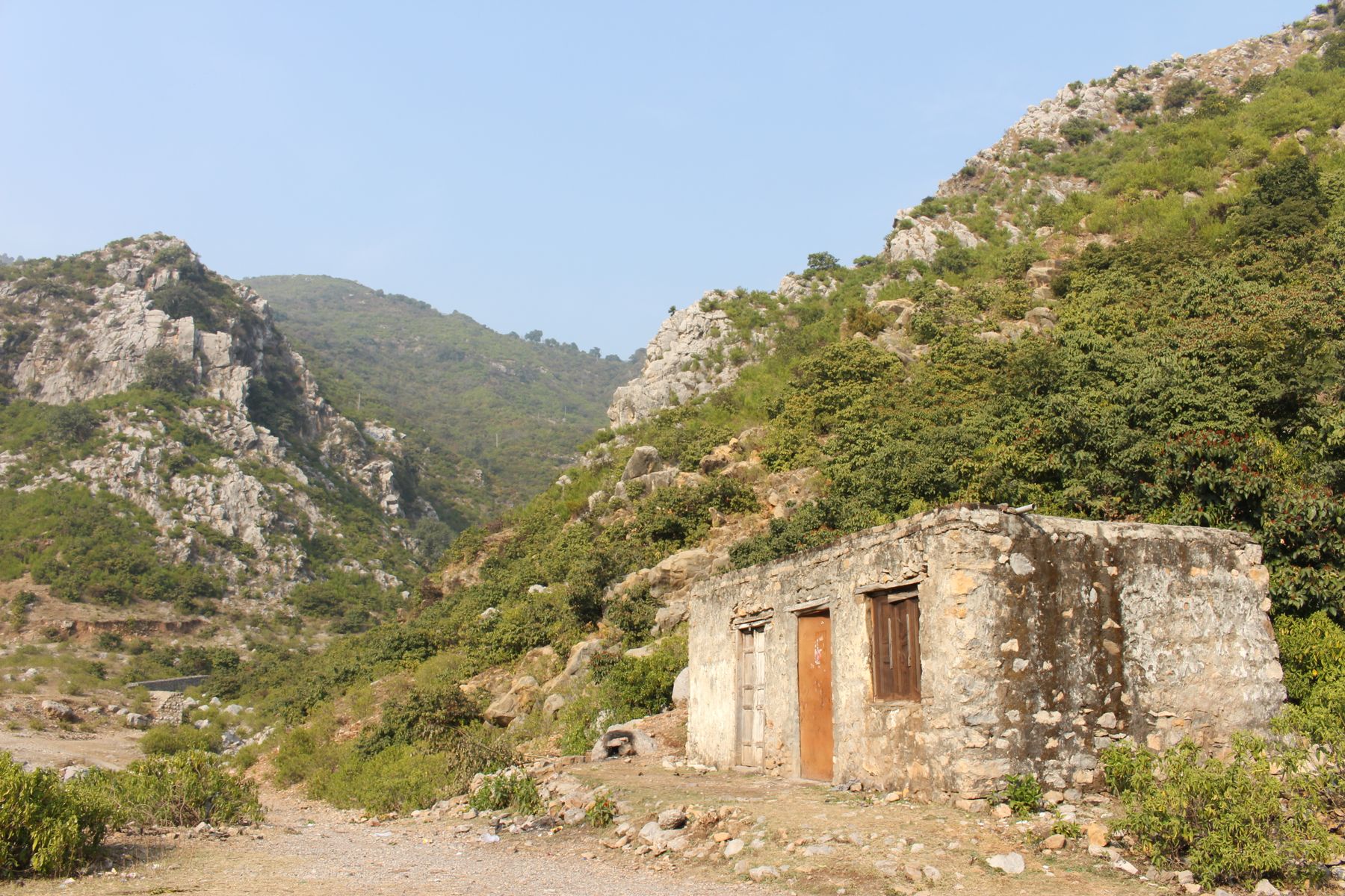
Trail 3 is one of the marked walking routes in the Margalla Hills above Islamabad. It climbs through scrub and pine to a ridge with wide views over the city and the hills beyond.
The Margalla Hills form the northern edge of Islamabad, and a network of numbered trails runs up from the city side. Trail 3 is among the better known. It is a half-day walk for most people, steep in places, and busy at weekends. The route is marked but not signposted at every turn, so a local guide is often hired.
How the walk goes
- MorningStart at the trailheadBegin early from the marked trailhead on the city side of the hills. The first stretch climbs steadily through scrub and open ground.
- Mid-morningInto the pineThe path enters pine and acacia woodland. Shade is patchy, and the gradient stays firm for most of the climb.
- Late morningRidge and viewsThe trail reaches higher ground with views over Islamabad and the surrounding hills. This is the usual turning point for a half-day walk.
- ReturnDescend the same wayMost walkers come back down the way they came. The descent is quicker but hard on the knees, so take it steadily.
What to bring
- Walking shoes with grip for loose stone and dust
- At least one litre of water per person
- Sun hat and sunscreen, as shade is patchy
- A light layer for the ridge, which is cooler and breezier
- A charged phone with an offline map
Know before you go
- The trail is marked but junctions can be unclear, so a local guide is often hired.
- Weekends and public holidays are busy, with groups on the lower path.
- Monsoon rain from July to September makes the path slippery.
- There are no shops or water points on the route, so carry what you need.
- Check current official advice before going, as access rules can change.
Where it starts
The trailhead sits on the city side of the Margalla Hills, reached by road from central Islamabad. Most visitors take a taxi or drive and walk from the marked start point.
The route itself
Trail 3 is a there-and-back walk rather than a loop. It begins on the city side of the Margalla Hills and climbs through open scrub before entering pine and acacia woodland. The path is dirt and loose stone for most of its length, with a few steeper sections where the surface shifts underfoot. Walking poles help on the descent.
The gradient is steady rather than extreme, but there is little flat ground. Most people take three to four hours for the round trip, including stops. The upper part of the route opens out, and the trees thin enough to give views back over Islamabad and along the ridge.
Markings and junctions
The route carries a trail number, but paint marks fade and side paths branch off. Where junctions are unclear, walkers commonly hire a local guide from the trailhead area. Going with someone who knows the path saves time and keeps you on the marked line.
When to go
The cooler months from October to April suit this walk best. Mornings are fresh, the dust is down and the views are usually clear. December and January can be cold on the ridge, with a sharp wind, so a light jacket earns its place. Islamabad summers are hot and humid, and the climb is best done at first light if attempted at all.
The monsoon from July to September brings rain, and the path turns slippery on the steeper sections. Leeches appear in the damp woodland after heavy rain. Spring brings flowering trees on the lower slopes, and the hills green up quickly after the first rains.
Wildlife on the slopes
The Margalla Hills hold rhesus macaques, which are common near the lower path and quick to take food from open bags. Keep snacks packed away. Birds are varied in the woodland, and early mornings are the quietest time to hear them.
Practical points
There are no shops, cafes or water points on the route, so carry everything needed for the half day. Mobile signal is patchy in the wooded sections. Tell someone where you are going and when you expect to be back, particularly if walking alone.
The trailhead area is reached by road from central Islamabad. Most visitors take a taxi or drive and park near the start. A fee may be charged for parking. Local guides can usually be arranged at the trailhead, and travellers often hire one for the climb.
Access and advice
Access rules in the Margalla Hills can change, and some areas nearby may require permits or carry travel advisories. Check current official advice before setting out. Do not rely on older trip reports for access details.
Frequently asked questions
How long does Margalla Hills Trail 3 take?
Most walkers take three to four hours for the round trip, including stops at the ridge. The climb is steady rather than extreme, but there is little flat ground. Allow extra time in hot weather or if the path is wet.
Do you need a guide for Trail 3?
The route is marked, but paint fades and side paths branch off. Many walkers hire a local guide from the trailhead area, especially on a first visit. A guide keeps you on the marked line where junctions are unclear.
When is the best time to walk Trail 3?
October to April brings cooler, clearer conditions. Mornings are best in every season. The monsoon from July to September makes the path slippery, and summer afternoons are hot and humid on the exposed lower slopes.
Is Margalla Hills Trail 3 suitable for beginners?
It suits walkers of reasonable fitness. The climb is continuous and the surface is loose in places, so grip matters more than distance. Children and older walkers manage it, but take the descent steadily and carry water.
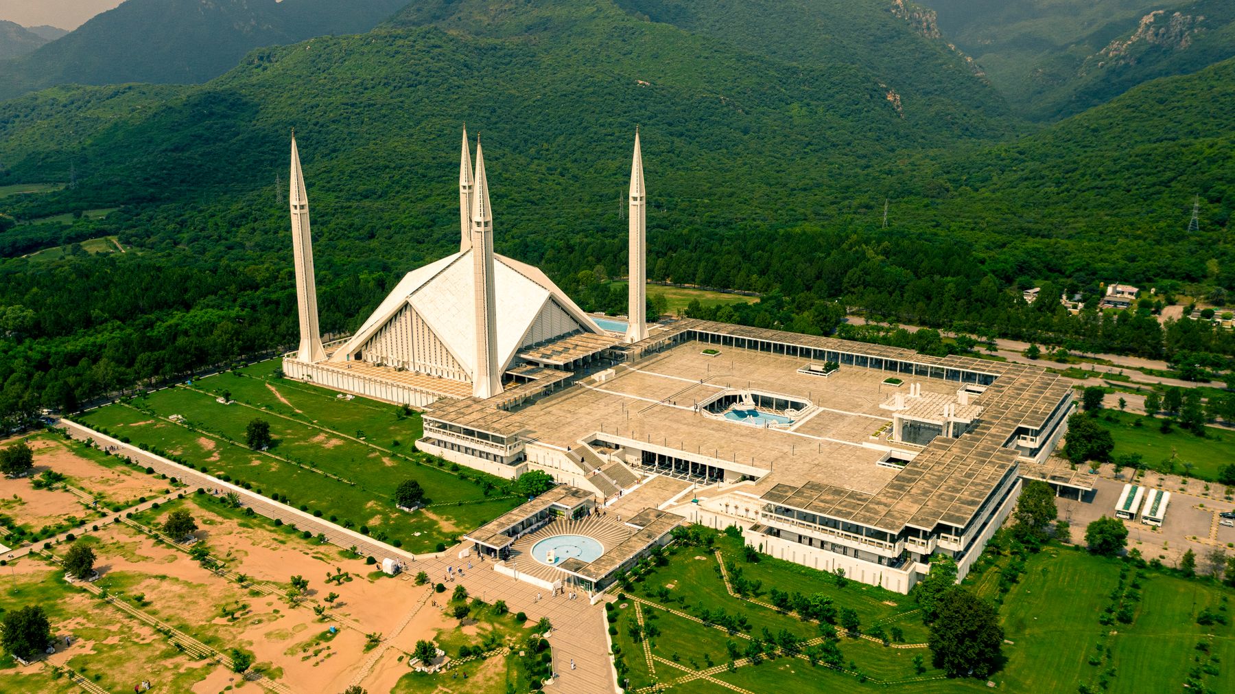 Photo: Wasif Mehmood / Pexels
Staying in Islamabad
Most walkers base themselves in Islamabad and drive to the trailhead in the morning. The city has the widest choice of places to stay.