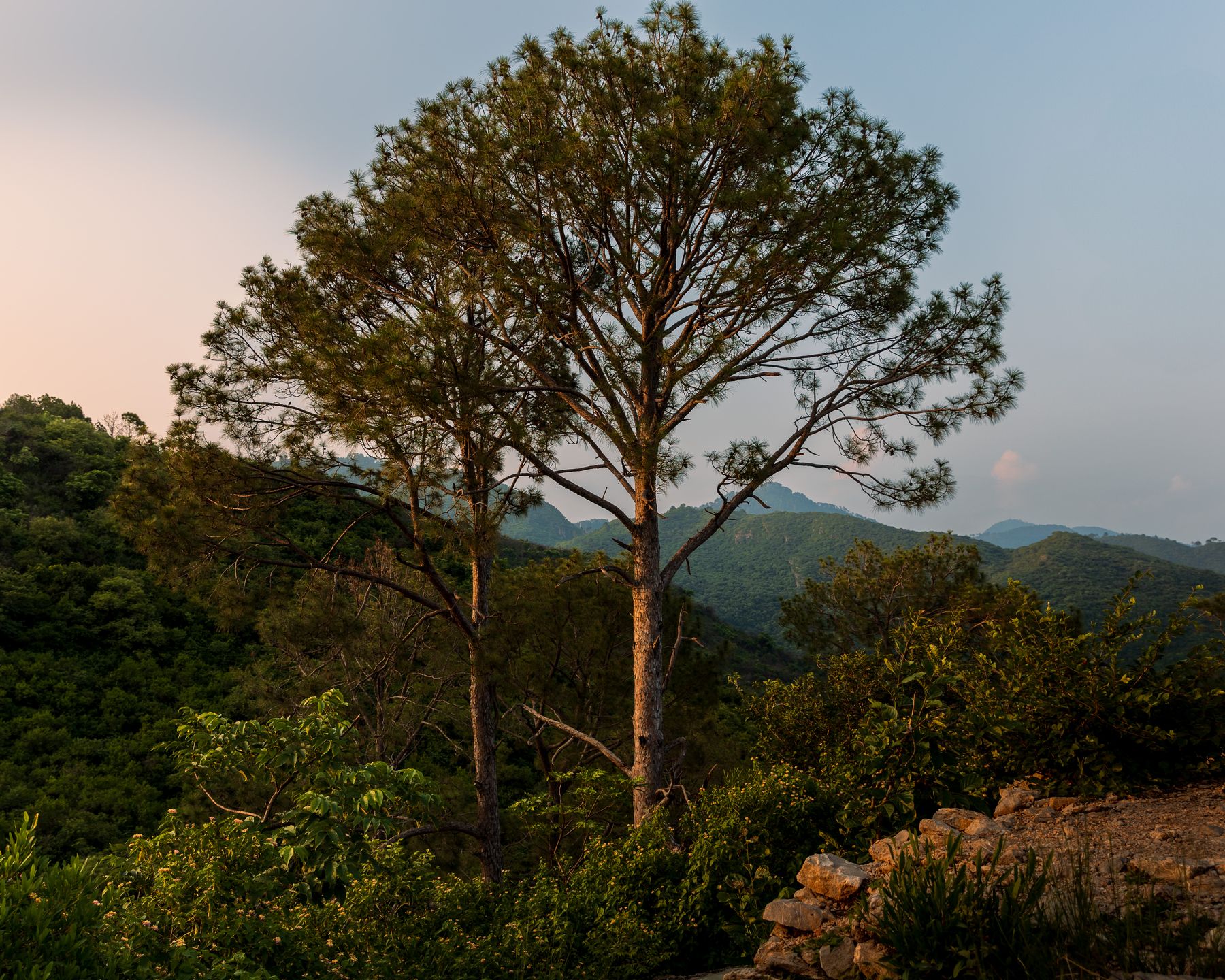
 Photo:
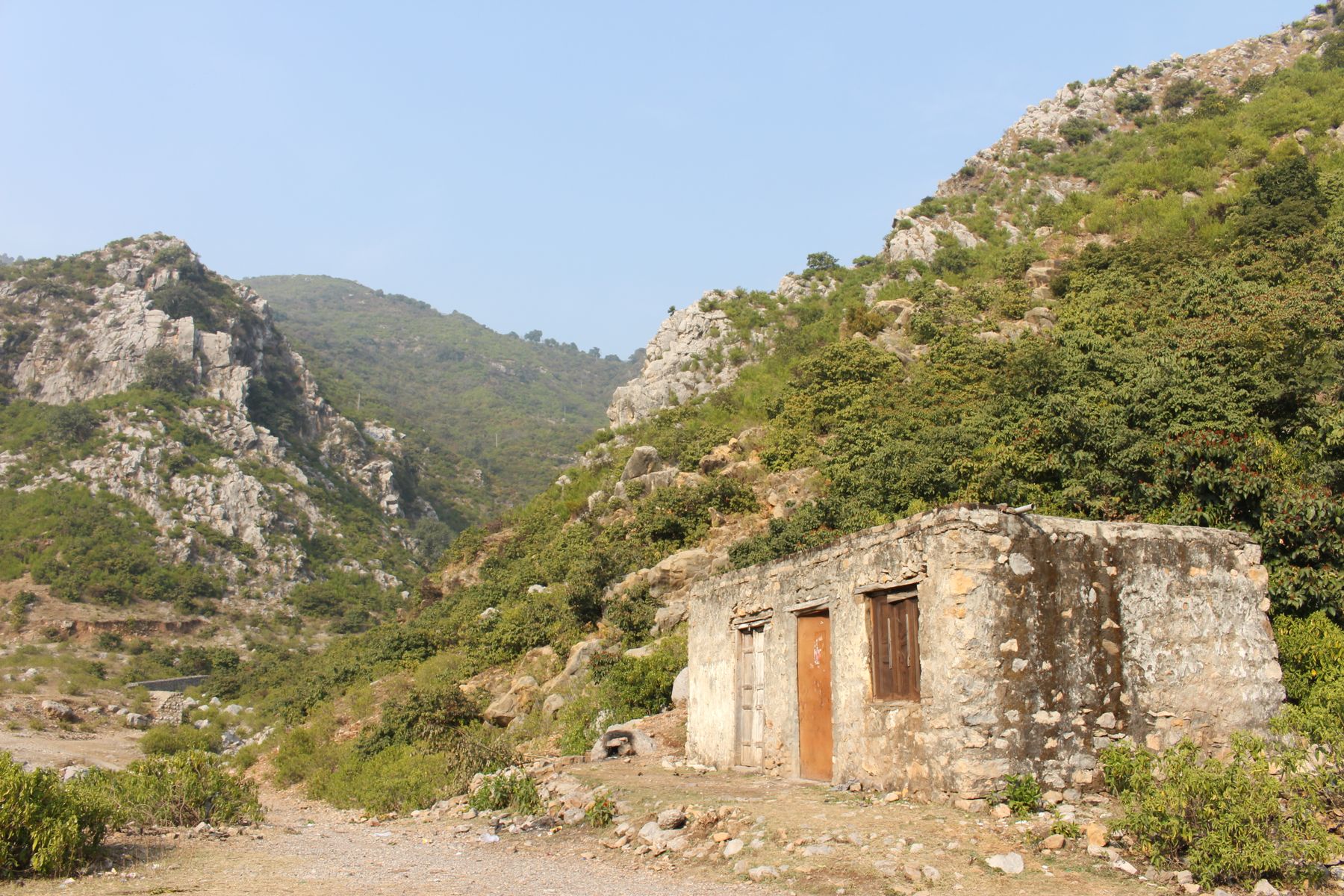
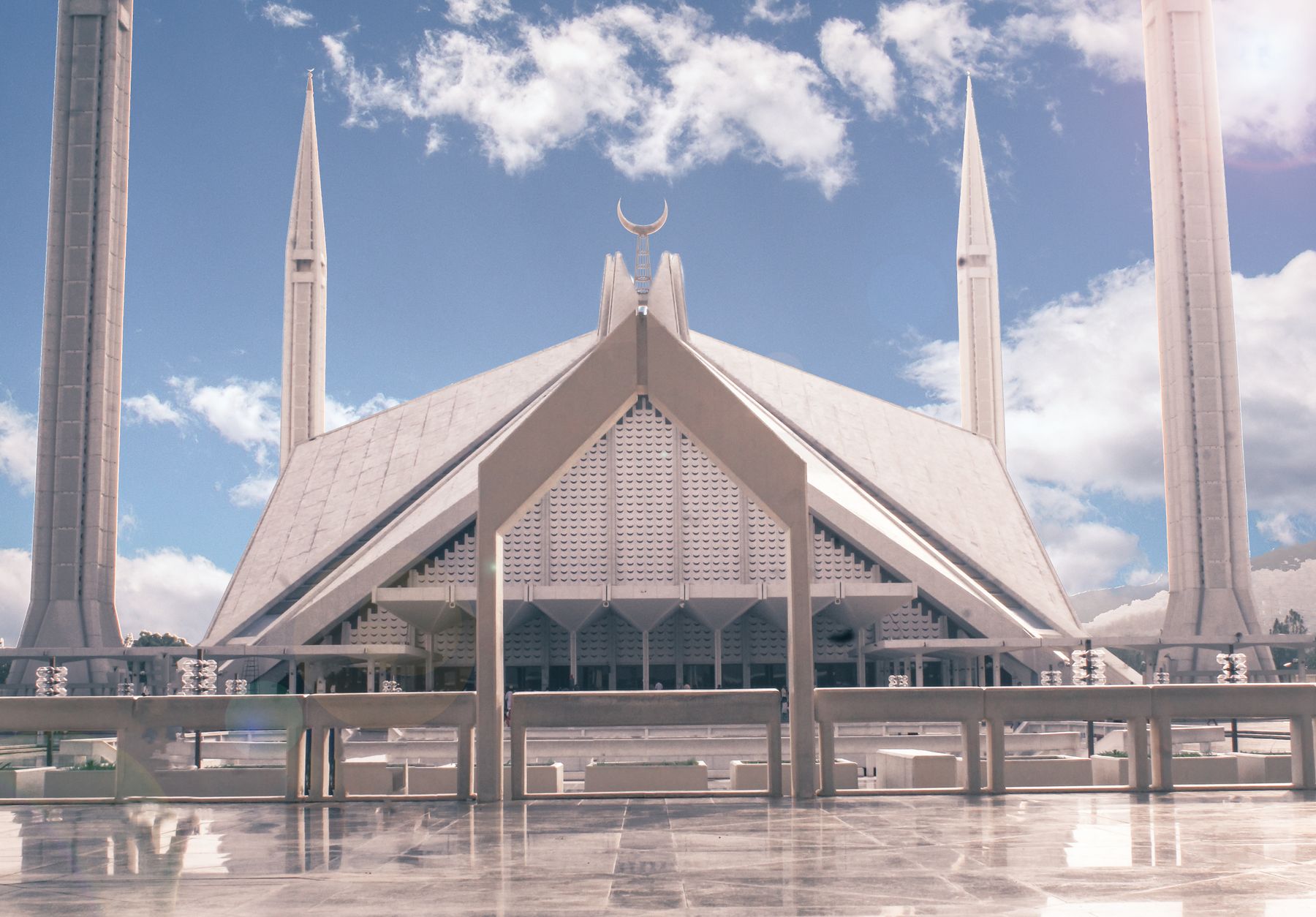
Visiting Margalla Hills
What the hills are like
The Margalla Hills are a folded ridge of limestone and sandstone that rises abruptly from the northern edge of Islamabad. The lower slopes are dry scrub and acacia, giving way to denser forest in the folds and gullies. The hills are protected as a national park, and the forest is home to leopard, barking deer, wild boar and rhesus macaque. Birdlife is rich, with raptors and songbirds common in spring and autumn.
The ridge runs east to west for roughly twenty kilometres. The highest point is around 1,600 metres, high enough to catch more rain than the city below. In summer the hills are hot and humid, and the trails are quiet. In winter, mornings are cold and clear, and the views reach far across the Potohar plateau.
What to see
Most visitors come for the views and the walking. The lower viewpoints at Daman-e-Koh and Pir Sohawa are reached by road and give wide prospects over the city. The marked trails, numbered from 3 to 5 and beyond, climb through forest to the ridge. Trail 3 is the most direct, while Trail 5 is longer and quieter.
Wildlife is present but shy. Early morning is the best time to see monkeys and birds. Leopards live in the hills but are rarely seen. The forest is also home to porcupines and pangolins, though these are nocturnal.
Daman-e-Koh
A terraced viewpoint on the lower slope, reached by a road that climbs from the city. There are gardens and a few stalls. The view south over Islamabad is clear on most days, though haze can build in summer.
Pir Sohawa
Higher up on the ridge road, this point looks over the hills and back towards the city. It is a common stop for a drive in the late afternoon. The air is cooler than in the city, and the road continues a short way beyond.
A day or two there
A full day in the hills can start with an early walk on Trail 5, which begins near Faisal Mosque and climbs through quiet forest. The route takes a few hours to reach the upper ridge, where tracks connect to the road at Pir Sohawa. From there, a walk down or a lift back to the city is possible.
A second day can be spent on the lower slopes. Visit Daman-e-Koh in the morning, then drive to Saidpur village for a look at the restored houses and gardens. The village is at the foot of the hills and makes an easy half-day. In the evening, the ridge road to Pir Sohawa is a short drive from the city centre.
Getting there and around
The hills are within Islamabad, and the trailheads are reached by road. Trail 3 starts off Margalla Road, and Trail 5 from a turning near Faisal Mosque. Taxis and ride-hailing services are available from most parts of the city. The road to Daman-e-Koh and Pir Sohawa climbs from the city and is signposted.
A car is useful for reaching the higher viewpoints and the villages at the western end. Local buses run along the main roads at the foot of the hills, but services are infrequent. Walking between trailheads is possible but distances are long. Parking is available at the main trailheads and viewpoints.
On foot
The marked trails are the best way into the hills. Trails are rough in places and not all are signed at every junction. A map or a navigation app is useful. Some sections are steep and can be slippery after rain.
Practical notes
The hills are a national park, and a fee may be charged at some entry points. Rules on access can change, and some areas may be closed for conservation or security reasons. Check current official advice before setting out. The climate is subtropical, with hot summers and mild winters. The best months for walking are October to April, when days are cooler and the trails are dry.
Carry water, as there are few reliable sources on the trails. Mobile signal is patchy in the folds of the hills. Wildlife is present, and monkeys can be aggressive if fed. Keep a distance and do not leave food. In summer, start early to avoid the heat. In winter, mornings can be cold and foggy, clearing by midday.
Frequently asked questions
Where are the Margalla Hills?
The Margalla Hills run along the northern edge of Islamabad, the capital of Pakistan. They form a ridge that rises directly from the city's northern sectors and are protected as a national park. The hills are within the Islamabad Capital Territory.
What is the best time to visit the Margalla Hills?
The best months for walking are October to April, when temperatures are cooler and the trails are mostly dry. Summer, from May to September, is hot and humid, and the trails are quiet. Winter mornings can be cold and foggy.
Are there marked trails in the Margalla Hills?
Yes, several marked trails start within Islamabad, including Trail 3 off Margalla Road and Trail 5 near Faisal Mosque. The trails climb through forest to the ridge. Some sections are steep and can be slippery after rain, so good footwear is useful.
Do I need a permit to visit the Margalla Hills?
The hills are a national park, and a fee may be charged at some entry points. Rules can change, and some areas may be closed for conservation or security reasons. Check current official advice before going. No special permit is normally needed for the main trails.