 Photo:
Visiting Neelum Valley
What the valley is like
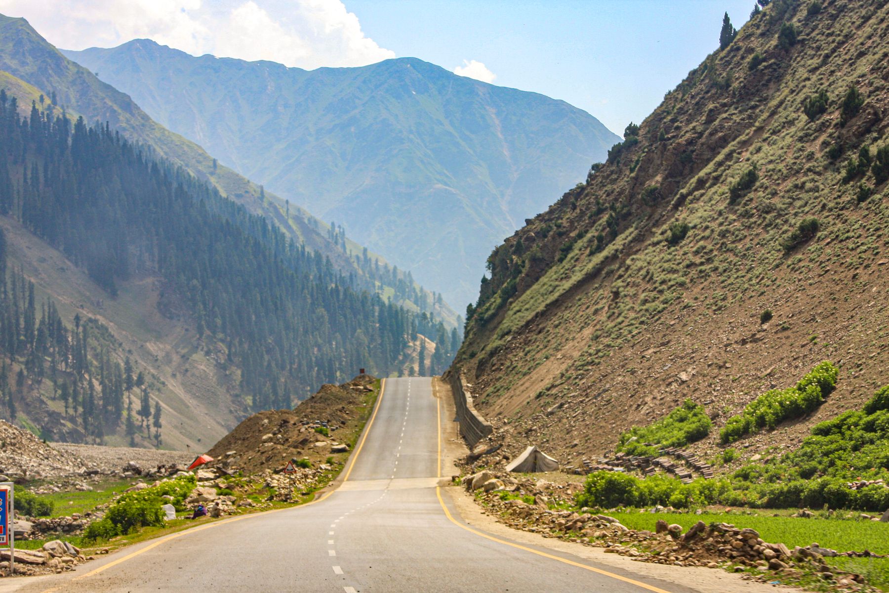
The Neelum is a river valley rather than a single settlement. From Muzaffarabad the road runs north through Pattika and Athmuqam, then on to Sharda and Kel. The river is never far away. Slopes are steep and wooded, with maize and rice terraces near the villages. The valley narrows and the road becomes rougher as you go north.
The character changes with height. The lower valley around Athmuqam is warmer and greener, with broadleaf forest. Higher up, near Sharda and Kel, the forest turns to conifer and the air is cooler. Snow closes the upper road in winter. The valley is quieter than the main tourist routes of Gilgit-Baltistan, and facilities are simpler.
The river road
The road from Muzaffarabad to Kel is the spine of the valley. It is paved in parts and rough in others, and landslides can block it after heavy rain. Travel times are short in distance but long in hours. The drive is the main way to see the valley, with stops at villages along the way.
What to see
Most sights are natural. The river itself, the side streams and the forested slopes are the main draw. Near Sharda there are the remains of an old fort above the river, and a small bazaar. The village makes a useful base for walks. Further north, Kel sits at the edge of the high country, with views of the upper valley.
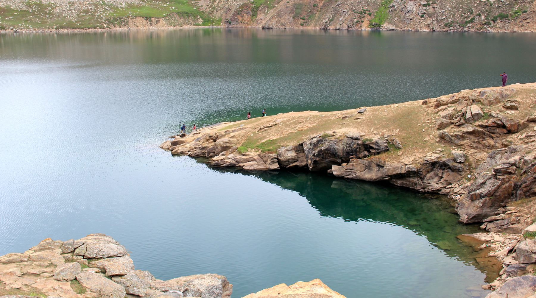
Two alpine lakes are reached on foot from the road: Ratti Gali and Chitta Katha. Both are high and weather-dependent. Local guides can be arranged in the villages. The walk to Ratti Gali starts from near Dowarian, and the track to Chitta Katha from the Shounter side.
Walks from the road
Short walks lead from many villages to viewpoints and side streams. Longer walks to the lakes need a full day or an overnight camp. Paths are not always marked, and a local guide is worth arranging. Carry water and rain gear, as weather changes quickly.
A day or two there
With one day, drive from Muzaffarabad to Athmuqam and Sharda, stopping at villages and viewpoints along the river. Return the same way, or stay overnight in Sharda. With two days, continue to Kel on the second day and walk part of the upper valley before returning south.
A night in Sharda or Kel allows an early start for a lake walk, but the lakes need a full day and good weather. In summer, the long daylight helps. In spring and autumn, plan shorter days and check road conditions before setting out.
Getting there and around
The valley is reached by road from Muzaffarabad, which has road links to Islamabad and Rawalpindi. The drive to Athmuqam takes about two hours in good conditions, and to Sharda or Kel considerably longer. Shared transport and local buses run along the valley road, but services are limited and timings vary.
A private vehicle gives the most flexibility. The road is narrow in places and can be affected by landslides, especially in the monsoon. Fuel is available in the larger towns, but not in every village. For the lake walks, arrange a local guide in the village or at the trailhead.
Permits and access
Parts of Azad Kashmir near the Line of Control require a No Objection Certificate for travel. Rules change and are enforced at checkpoints. Check current official advice before setting out, and carry identification. Some side valleys may have additional restrictions.
Practical notes
Accommodation is simple, with small guest houses in Athmuqam, Sharda and Kel. Book ahead in summer, when domestic tourism is busiest. Electricity can be unreliable, and mobile coverage is patchy in the upper valley. Cash is needed, as card payments are rare and there are few banks.
The valley is warm and humid in summer, with monsoon rain from July. Spring and autumn are milder. Winter brings snow and closes the upper road. Carry layers, rain gear and sturdy shoes for walks. Respect local customs and ask before photographing people or private property.
Frequently asked questions
Do you need a permit to visit Neelum Valley?
Parts of Azad Kashmir near the Line of Control require a No Objection Certificate. Rules change and are checked at checkpoints. Check current official advice before travelling and carry identification. Some side valleys may have additional restrictions.
When is the best time to visit Neelum Valley?
May to September is the main season, when the upper road is open and the lakes are reachable. July and August bring monsoon rain and a risk of landslides. Spring and autumn are quieter but cooler, and winter snow closes the upper valley.
How do you get to Neelum Valley?
The valley is reached by road from Muzaffarabad, which is linked to Islamabad and Rawalpindi. The drive to Athmuqam takes about two hours in good conditions. Shared transport runs along the valley road, but a private vehicle gives more flexibility.
What is there to see in Neelum Valley?
The main sights are the river, forested slopes and villages such as Athmuqam, Sharda and Kel. The old fort remains at Sharda are worth a stop. Walks lead to alpine lakes including Ratti Gali and Chitta Katha, which need a local guide and good weather.