 Photo:
The route and the river
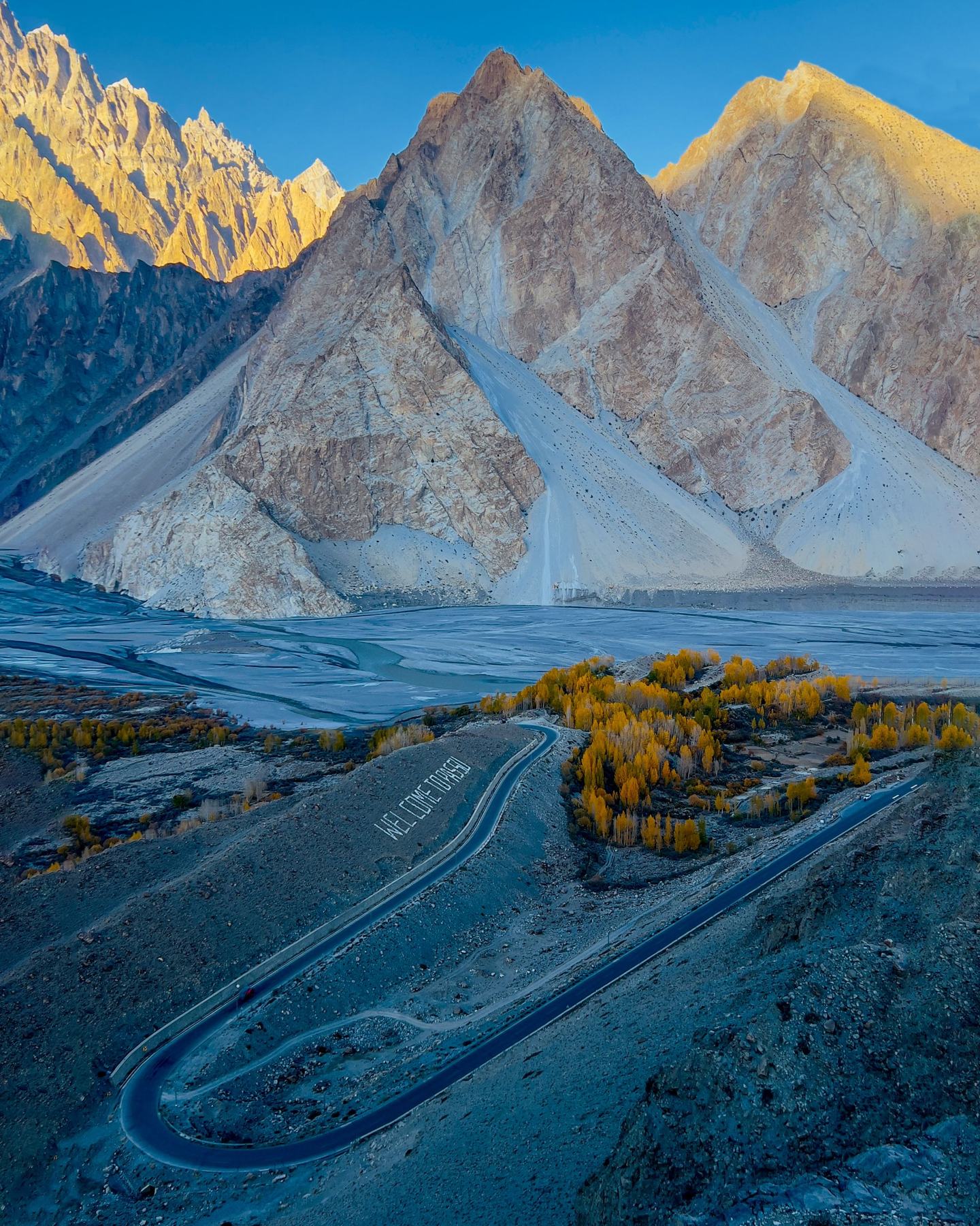
The Neelum River rises in the high mountains east of the valley and flows south-west to join the Jhelum at Muzaffarabad. The road follows it for most of the way, crossing from one bank to the other at bridges. Distances are short on paper but slow in practice. The surface is mixed, and sections are narrow where the valley closes in.
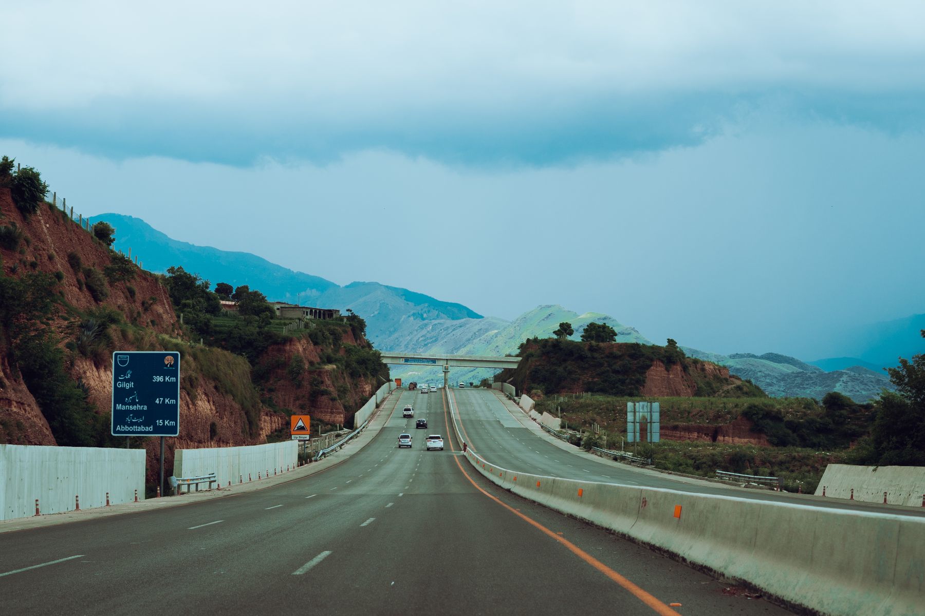
Most travellers start in Muzaffarabad, which has the region's main transport links, hospitals and supplies. From there the road runs north-east through Pattika and on towards Athmuqam. Villages appear at intervals, usually where a side stream reaches the main river. Beyond Athmuqam the valley becomes quieter and the settlements smaller.
What you pass
Terraced fields, walnut and plane trees, and wooden houses with sloping roofs line the lower slopes. Side valleys such as the one above Sharda climb away from the main road into forest. Some have short jeep tracks, others only footpaths. Ask locally before walking beyond the road.
Stops worth planning around
Athmuqam is the first substantial town up the valley and a sensible overnight stop. It has basic services and a bridge over the river. Sharda, further north, is larger and sits beside the water, with walks along the banks and up to nearby viewpoints. Kel marks the end of the main road for most visitors and is a base for day walks.
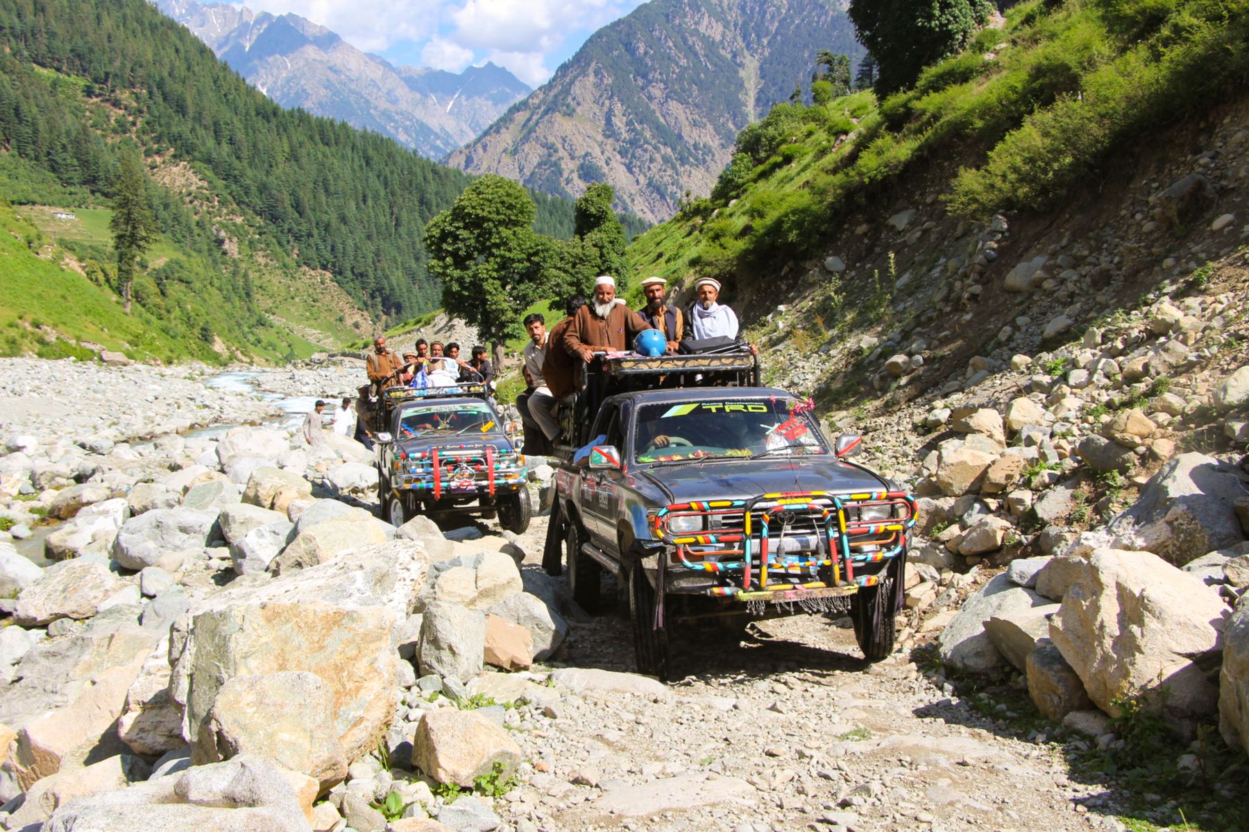
The side valleys are the reason to take time. Several branch off the main road and climb to smaller settlements and meadows. Access depends on the state of the track and the season. A local driver who knows the turns is worth arranging in Muzaffarabad or Athmuqam.
Sharda and around
Sharda has a small bazaar, a riverbank and several short walks. The old town area across the river is reached by a footbridge. Allow half a day to walk and another for a side valley if the weather holds.
Seasons and conditions
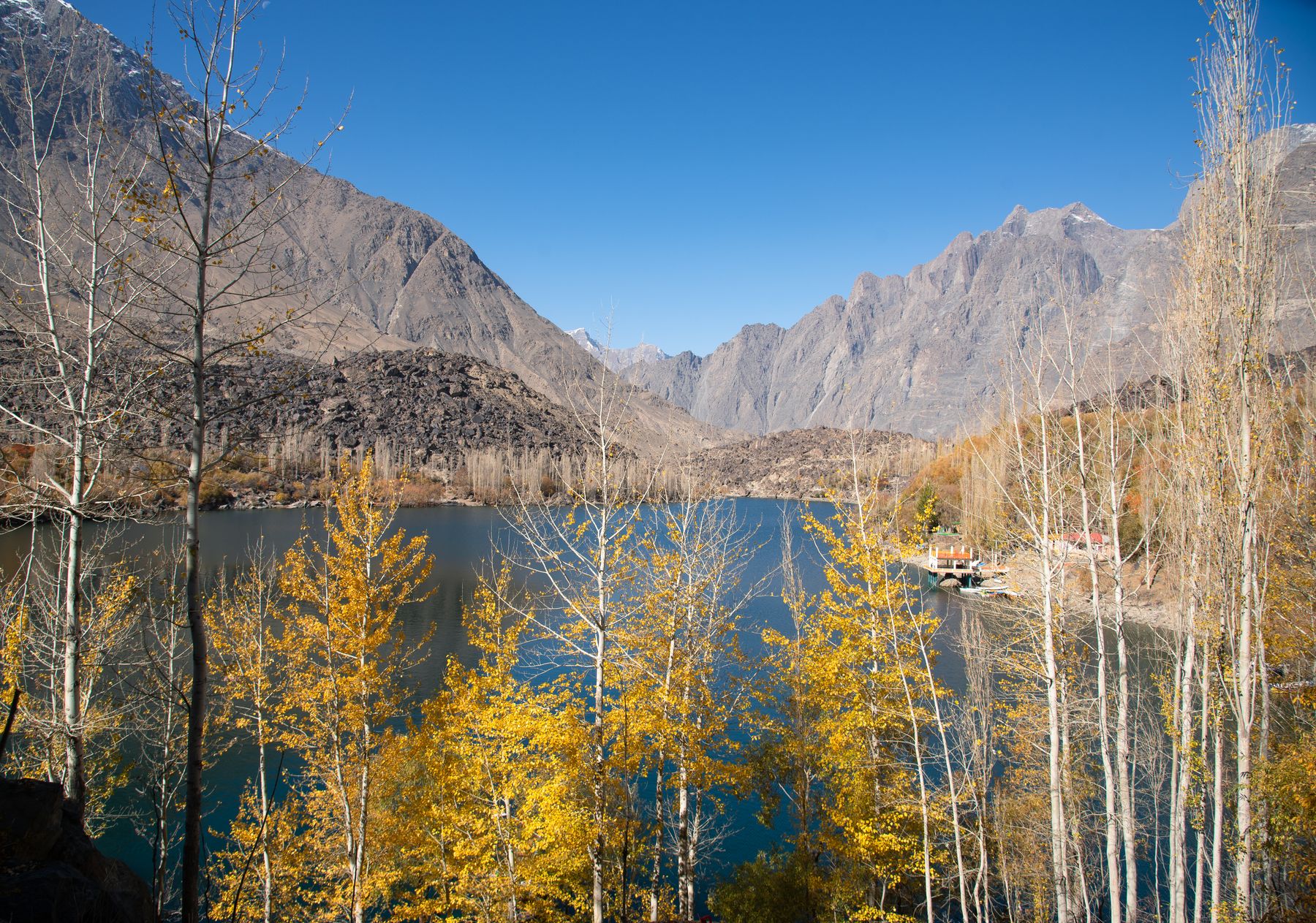
The road is usually most reliable from May to October. Snow can close the upper sections in winter, and the highest side valleys stay cut off longer. Spring brings blossom on the lower slopes, while summer is green but wet. Autumn is clear and cool, with good views of the surrounding ridges.
Rain matters more than temperature. Heavy monsoon rain can trigger landslides that block the road for hours or days. Keep a spare day in the plan and ask about conditions at each stop. The river runs high in summer, so take care near the banks.
Access and permits
The valley lies close to the Line of Control, and some areas may require a No Objection Certificate (NOC). Rules change, and checkpoints may ask for documents. Check current official advice before travelling and carry identification. Do not rely on older accounts of what is required.
Practical planning
A four-day round trip from Muzaffarabad covers the main road with time for short walks. Add days for side valleys or for a slower return. Accommodation is simple, mostly small guest houses in the larger villages. Book ahead in summer, when domestic visitors fill the valley at weekends.
Travel in your own vehicle or arrange a driver in Muzaffarabad. Public transport runs along parts of the road but is slow and crowded. Mobile coverage is patchy beyond the main towns. Carry a power bank, warm layers and rain gear, and keep food and water for the longer legs.
Health and safety
Medical facilities are limited above Muzaffarabad. Carry any medicines you need and travel insurance that covers mountain roads. Tell someone your plan before leaving the main towns, and turn back if the weather or road conditions worsen.
Frequently asked questions
How long does a Neelum Valley road trip take?
Most visitors allow three to five days from Muzaffarabad, driving up the valley to Sharda and Kel and returning the same way. Adding side valleys or a slower return takes longer. The road is slow, so plan shorter daily distances than the map suggests.
When is the best time to drive the Neelum Valley road?
May to October is usually the most reliable window. Snow can close upper sections in winter. Monsoon rain from July can bring landslides, so keep spare days. Autumn is clear and cool, with good views along the valley.
Do you need a permit for the Neelum Valley?
Parts of the valley lie near the Line of Control and may require a No Objection Certificate (NOC). Rules change, so check current official advice before travelling. Carry identification for checkpoints along the road and allow time for stops.
Where can you stay along the Neelum Valley road?
Accommodation is simple, with small guest houses in Athmuqam, Sharda and Kel. Muzaffarabad has the widest choice. Book ahead in summer and at weekends, when domestic visitors travel in numbers. Facilities thin out the further north you go.