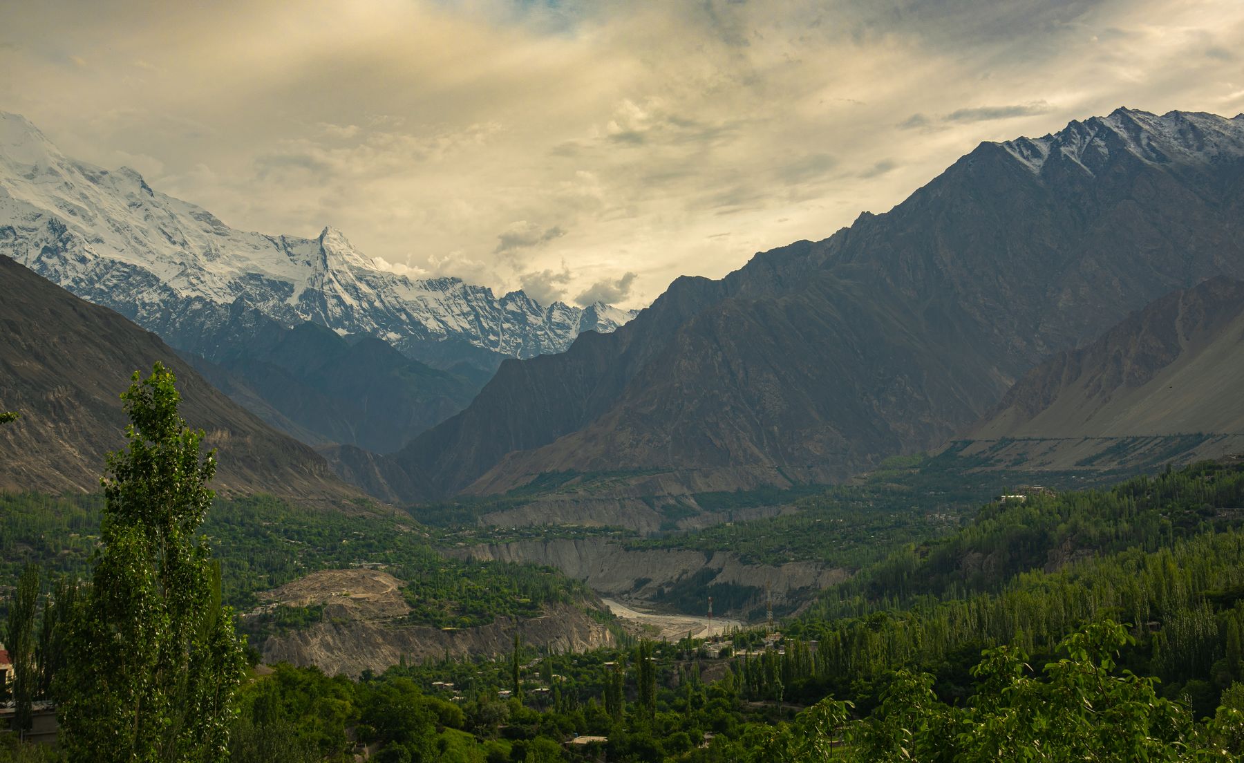
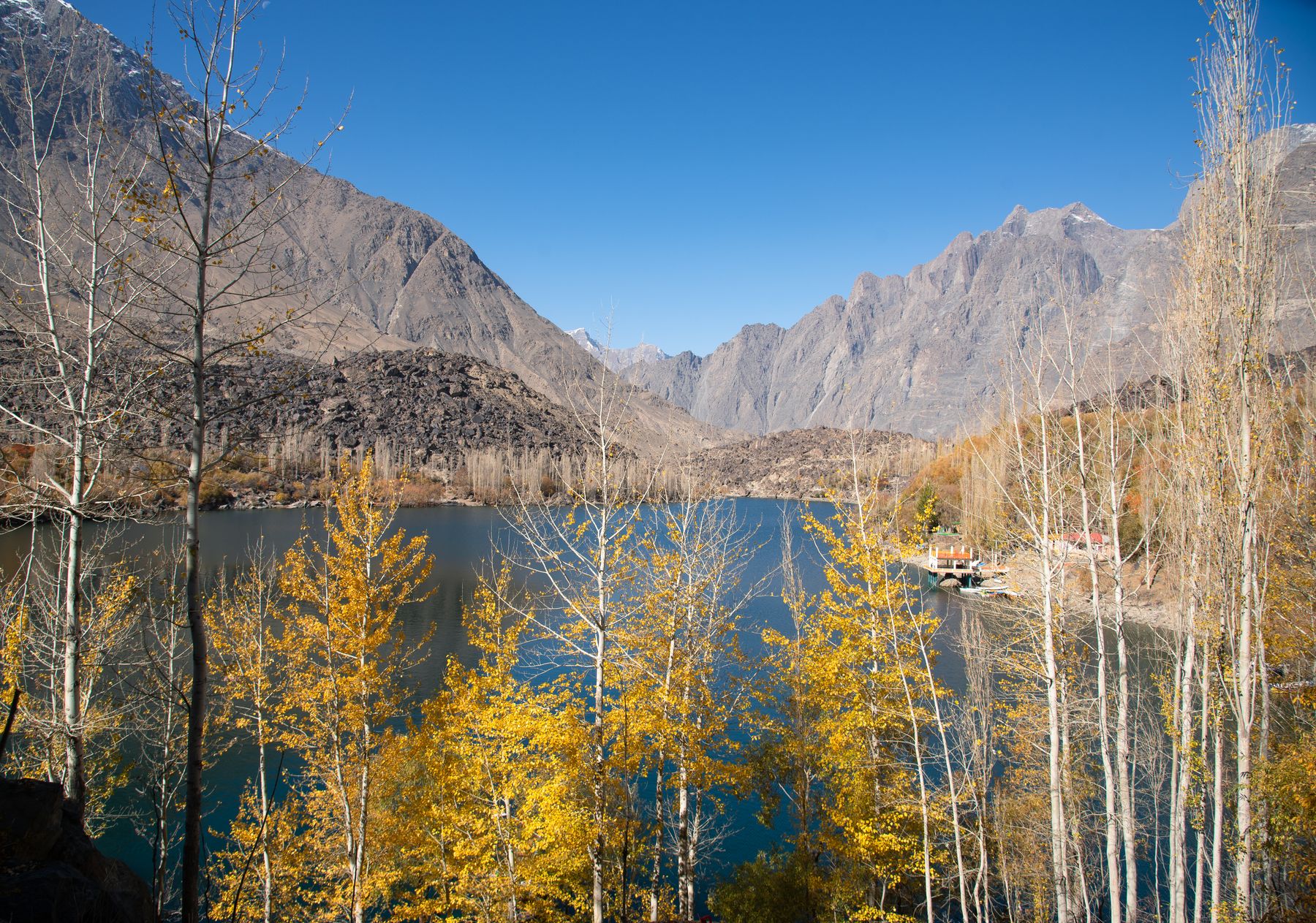
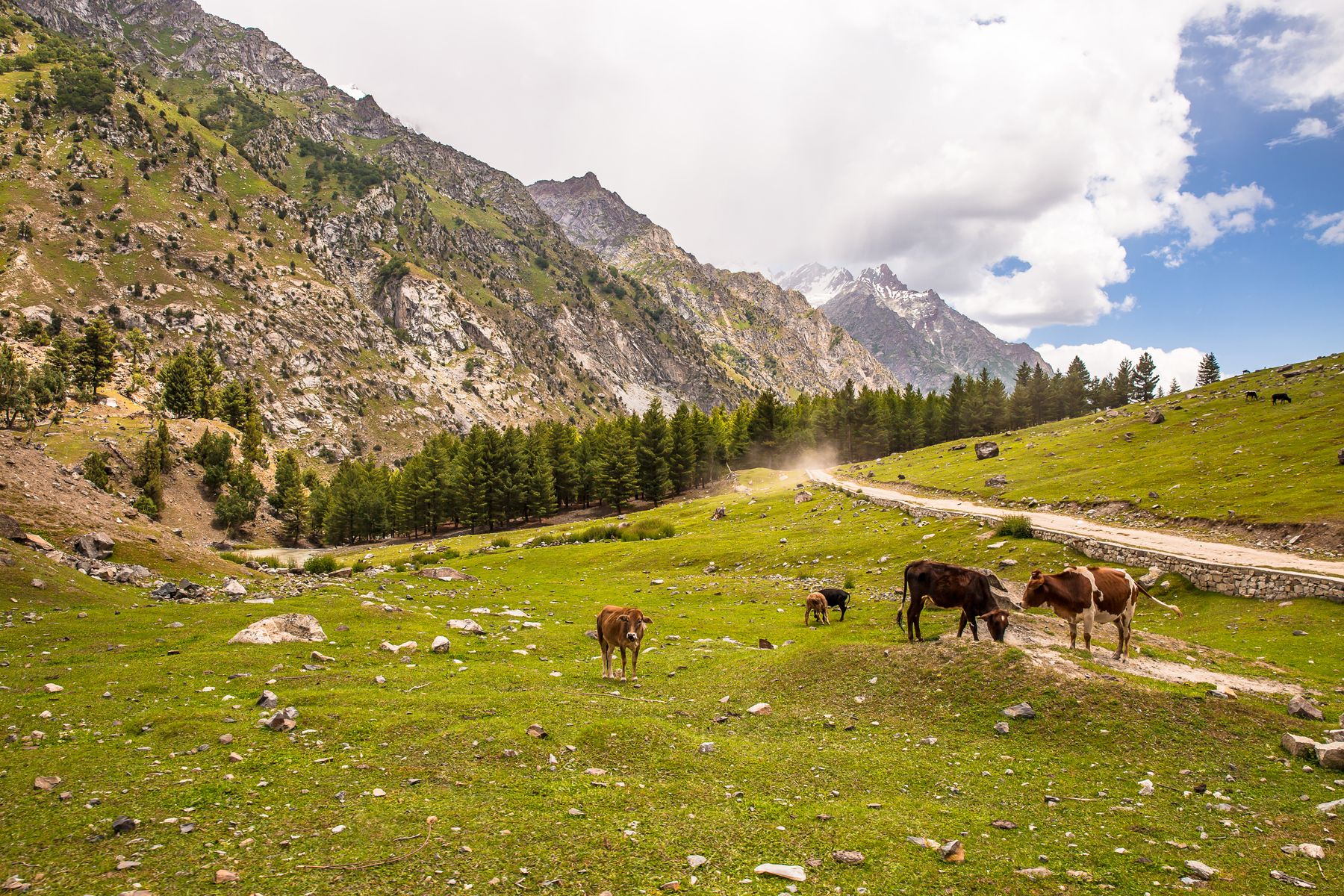
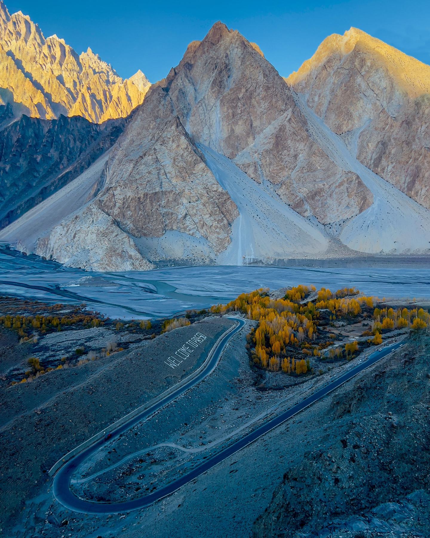
 Photo:
The route
The trip covers about 1,300 km from Islamabad to the Khunjerab Pass and back. The outward route leaves the plains at Mansehra, follows the Kaghan Valley to Naran and crosses Babusar Pass at 4,173 m. From Chilas the road meets the Indus and joins the Karakoram Highway north to Gilgit and Hunza.
The return leg reverses the highway as far as Raikot Bridge, where a jeep track and a walk lead to Fairy Meadows below Nanga Parbat. The final days cross Babusar again and descend the Kaghan Valley to Islamabad. Ten days is the least to give the route, with rest days built in at altitude.
Babusar Pass
Babusar connects the Kaghan Valley with Chilas on the Indus. The pass is usually open from June to October and closed by snow outside that window. The climb from Naran is steady and the descent to Chilas is long. Check conditions locally before committing.
Khunjerab Pass
Khunjerab sits at 4,693 m on the border with China and is the highest point of the trip. The crossing is usually open from April to November. The road from Hunza climbs through the Khunjerab National Park, where permission may be checked at a park post.
When to go
The window for the full route is June to October, when Babusar Pass is normally clear. Khunjerab is usually open from April to November, so a trip in June or September can include both passes. July and August bring monsoon rain to the lower valleys, with a risk of landslides on the Kaghan road.
Outside these months the high passes close and the route changes. The Karakoram Highway south of Gilgit stays open for much of the year, but Babusar and Khunjerab are blocked by snow. Travel in the shoulder months needs flexible plans and local advice.
Practical notes
The second day is the longest, about nine hours over Babusar Pass. Start early and carry food and water for the crossing. The Karakoram Highway is paved for most of its length, but the jeep track from Raikot Bridge to Tato is rough and slow.
A jeep from Raikot Bridge to Tato is arranged locally and paid on the day. The walk from Tato to Fairy Meadows takes a few hours on a steep path. Accommodation along the route is in towns and villages, and rooms are best arranged before arrival in the peak season.
Permits and advice
The Karakoram Highway passes through Gilgit-Baltistan. Some border districts and areas near the Line of Control can require a No Objection Certificate (NOC). Rules change, so check current official advice before travelling and carry copies of any permits.
Altitude and health
The route reaches 4,693 m at Khunjerab and spends several days above 2,000 m. A rest day in Hunza before the border helps acclimatisation. Symptoms of altitude sickness include headache, nausea and breathlessness, and the response is to descend.
The road from Naran to Chilas crosses Babusar at 4,173 m, so the climb begins early in the trip. Drink water, avoid alcohol at altitude and keep the first days at high elevation short. Fairy Meadows sits lower, but the walk in is steep and the altitude is still felt.
Frequently asked questions
How long does the Karakoram Highway take from Islamabad to Khunjerab?
The distance is about 1,300 km. Ten days allows a slow crossing of Babusar Pass, rest days in Hunza and a detour to Fairy Meadows. A direct drive takes several long days with no time at altitude.
When is Babusar Pass open on the Karakoram Highway route?
Babusar Pass is usually open from June to October. Snow closes it outside that window. Khunjerab is usually open from April to November. Dates change with weather, so check locally before setting out.
Do you need a permit for Khunjerab Pass?
The Khunjerab Pass lies in Khunjerab National Park and permission may be checked at a park post. Some border districts can require a No Objection Certificate. Rules change, so check current official advice before travelling.
How do you reach Fairy Meadows on the Karakoram Highway trip?
Leave the highway at Raikot Bridge and take a jeep to Tato, then walk a few hours to Fairy Meadows. The meadow sits below the north face of Nanga Parbat. The jeep is arranged locally and paid on the day.