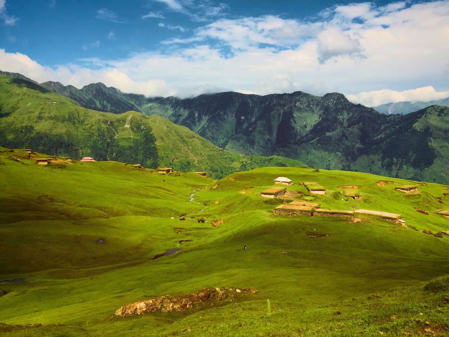
 Photo:


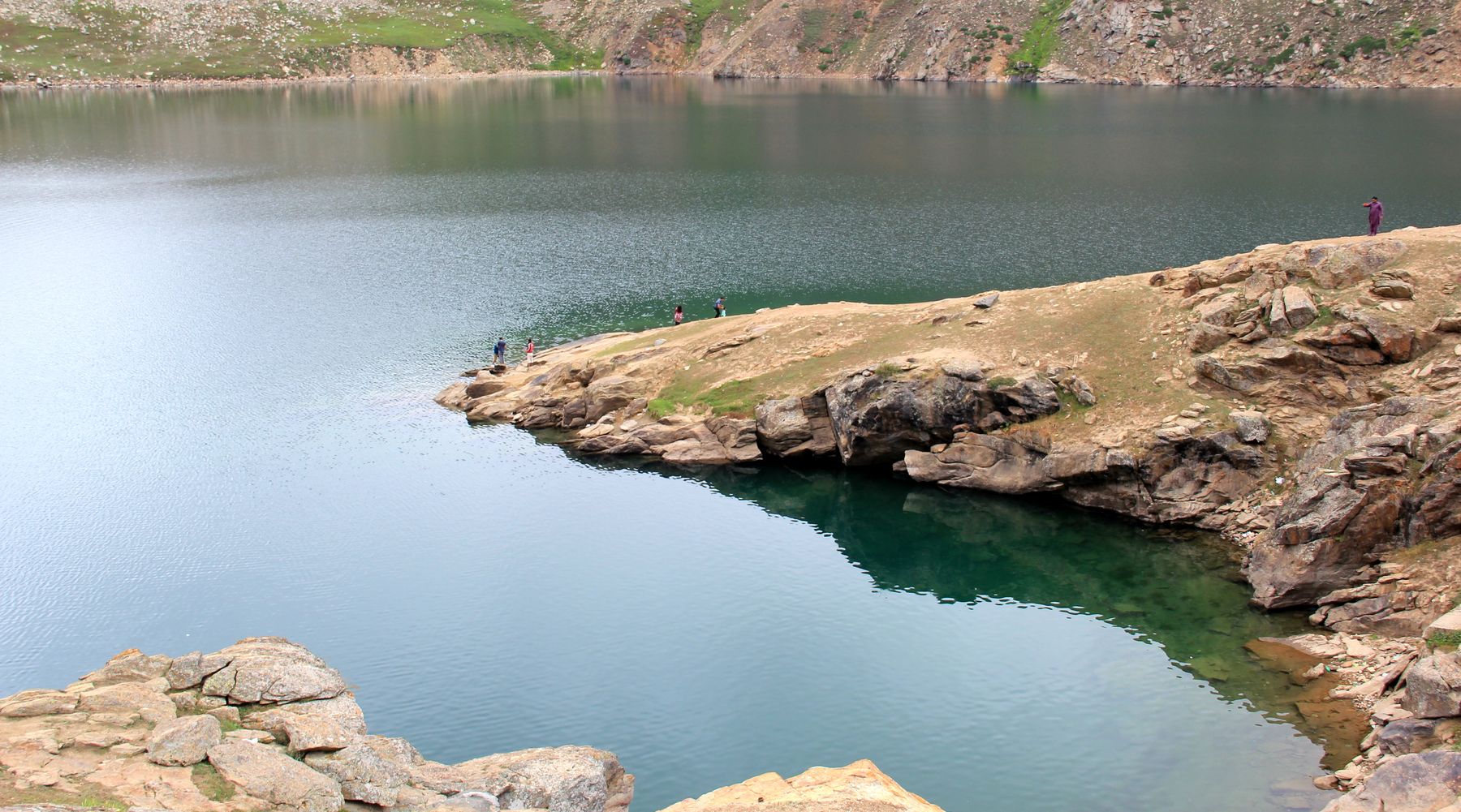
A travel guide to Azad Kashmir
This guide covers where Azad Kashmir sits, when to go, how to reach it and how to move between Muzaffarabad, the Neelum valley, Haveli and Rawalakot. It also sets out permits, cash, mobile signal and food, with suggested routes for short and longer trips.
Where it is
Azad Kashmir occupies the western end of the Himalayan arc in northern Pakistan. It borders Khyber Pakhtunkhwa to the west, Punjab to the south and Gilgit-Baltistan to the north-east. The Line of Control runs along its eastern and northern edges. The region is divided into districts including Muzaffarabad, Neelum, Haveli, Poonch and Sudhnoti.
The Jhelum river enters near Muzaffarabad and turns south towards Mangla. The Neelum river joins it at Muzaffarabad after running down from the north. Ridges rise steeply on both sides, with terraced fields and pine forest. The highest ground is in the north, where Sarwali Peak reaches 6,326 m.
Best time to visit
May to October is the main season. May and June are warm in the valleys and pleasant on the ridges. The monsoon arrives in July and August, bringing rain, cloud and the risk of landslides on road sections. September and October are clearer and cooler, with good views before the first snow.
Winter travel is possible in the lower valleys, but snow can close the upper Neelum valley and the Haveli roads. Spring brings blossom on the lower slopes in April. Check road conditions before setting out in any season.
Getting there
Most visitors arrive by road from Islamabad. The shortest route to Muzaffarabad runs via Murree and the hills above the Jhelum, taking about four hours in good conditions. A longer route goes via Abbottabad and the Hazara road. Buses and shared vans run from Islamabad and Rawalpindi to Muzaffarabad and Rawalakot.
Rawalakot can also be reached from Rawalpindi via Kahuta and the Poonch road. There is no commercial airport in the region. Cars can be hired in Islamabad with a driver. Roads are narrow in places and can be slow after rain.
Muzaffarabad and the Jhelum valley
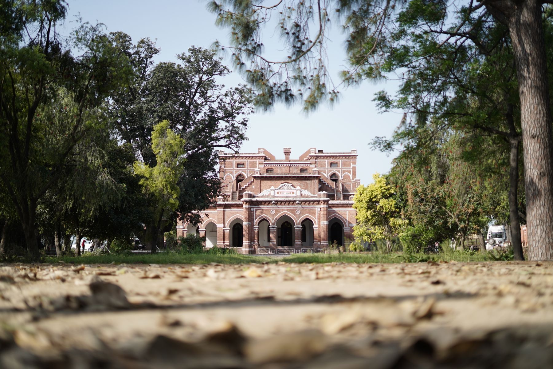
Muzaffarabad sits at the meeting of the Jhelum and Neelum rivers. The town is the region's capital and main transport hub. The old fort and the red fort stand above the rivers, and the bazaars along the main road sell food, cloth and household goods.
The Jhelum valley road runs south towards Mangla and north towards the Neelum junction. Day trips go to the hills above the town and to viewpoints over the river. The town is a practical base for the first and last nights of a trip.
The Neelum valley
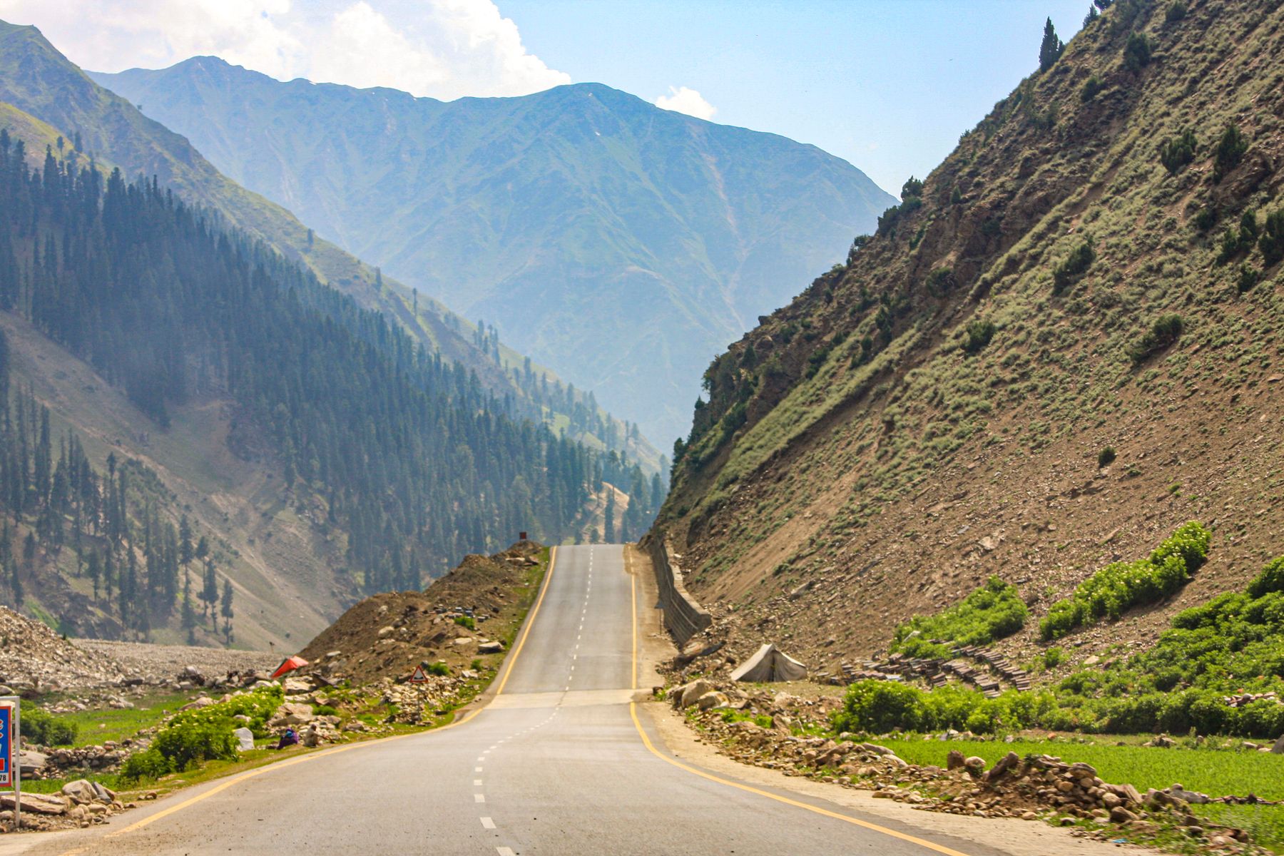
The Neelum valley follows the river north from Muzaffarabad through Athmuqam and on towards the high ground near Sharda and Kel. The road is narrow in places and passes through forest, terraced fields and small settlements. The valley is the longest route in the region and needs at least two or three days.
Sharda has the remains of an old fort and a riverside setting. Kel and the upper valley are higher and cooler, with snow in winter. The road beyond Athmuqam can be affected by landslides in the monsoon, so allow extra time.
Athmuqam and Sharda
Athmuqam is the main town in the middle valley and a checkpoint on the road north. Sharda lies further up, with the river on one side and forested slopes above. Both have small bazaars and basic places to stay.
Upper Neelum
Beyond Kel the valley narrows and the road climbs. Snow can close the road in winter. In summer the upper valley is a base for walks and for views of the surrounding ridges.
Haveli and the north
Haveli district lies north-east of Muzaffarabad, reached by a road that climbs from the Jhelum valley. The main settlements are small and the landscape is higher and more open than the Neelum gorge. The area is quieter and less developed for visitors.
Roads in Haveli are narrow and can be slow. Travel is best in the dry months from May to October. Check local advice before going, as some sections near the Line of Control may require permits.
Rawalakot and the south
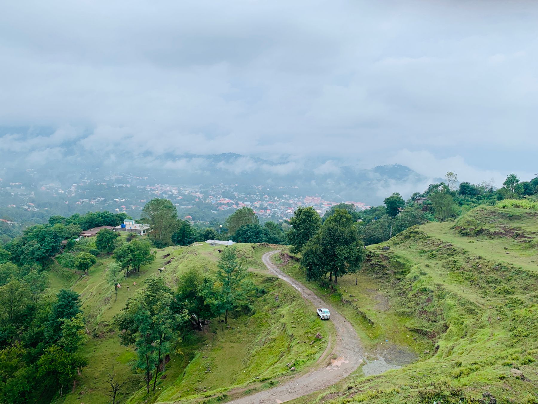
Rawalakot is the main town of Poonch district, set in a bowl of hills south of Muzaffarabad. The town has a bazaar, a hospital and a small number of places to stay. The surrounding area has meadows and pine forest, with views towards the higher ridges.
The road from Rawalpindi via Kahuta is the usual approach. From Rawalakot, roads run north towards Muzaffarabad and east towards the Poonch valley. The area is greener and wetter than the northern valleys, and the monsoon brings heavy rain in July and August.
Getting around
Shared vans and buses connect the main towns, but services are limited on the smaller roads. Hiring a car with a driver in Islamabad or Muzaffarabad gives more flexibility, especially in the Neelum valley and Haveli. Fuel is available in the main towns, but not on every road.
Distances are short in kilometres but slow in time. The road from Muzaffarabad to Athmuqam can take several hours. Plan for early starts and avoid driving after dark on mountain roads.
Practical matters
Some areas near the Line of Control require a No Objection Certificate (NOC). Rules change, so check current official advice before travelling. Carry identification. Cash is needed in most places, as card payment is rare outside the main towns. ATMs are found in Muzaffarabad and Rawalakot but may not be reliable.
Mobile signal is good in the towns but weak or absent in the valleys. Download maps before leaving. Safety: travel is generally straightforward on the main roads, but check local conditions after heavy rain. Landslides can block roads in the monsoon. Keep to main routes and follow local advice.
Food and customs
Food in Azad Kashmir is similar to northern Pakistan: rice, lentils, chicken and mutton curries, with bread. Small restaurants in the towns serve simple meals. In the valleys, food is basic and choice is limited. Vegetarians can find dal and vegetables.
The region is conservative. Dress modestly, especially in towns and villages. Ask before taking photographs of people. During Ramadan, eating and drinking in public during daylight hours is best avoided. Hospitality is common, and tea is often offered.
Suggested itineraries
A short trip of three or four days can cover Muzaffarabad and the lower Neelum valley, with a night in the town and a day trip up the river. A week allows the full Neelum valley as far as Kel, with time in Sharda and Athmuqam, returning to Muzaffarabad.
For a southern route, spend three days based in Rawalakot, with walks in the surrounding hills and a drive towards the Poonch valley. Combine both halves in ten days, crossing from Muzaffarabad to Rawalakot by road. Always keep a spare day for weather delays.
Frequently asked questions
What is the best time to visit Azad Kashmir?
May to October is the main season. May and June are warm in the valleys and pleasant on the ridges. September and October are clearer and cooler. The monsoon in July and August brings rain and the risk of landslides, and winter snow can close the upper roads.
Do I need a permit to travel in Azad Kashmir?
Some areas near the Line of Control require a No Objection Certificate (NOC). Rules change, so check current official advice before going. Main towns such as Muzaffarabad and Rawalakot are usually visited without a permit, but carry identification at all times.
How do I get to Azad Kashmir from Islamabad?
Most visitors travel by road. The route via Murree to Muzaffarabad takes about four hours in good conditions. Buses and shared vans run from Islamabad and Rawalpindi. Rawalakot can be reached via Kahuta and the Poonch road. There is no commercial airport in the region.
Is mobile signal available in the Neelum valley?
Signal is good in Muzaffarabad and the main towns, but weak or absent in the Neelum valley and on smaller roads. Download offline maps before leaving. Do not rely on mobile data for navigation in the upper valleys.
What should I pack for a trip to Azad Kashmir?
Pack layers, as nights are cool even in summer. Bring rain gear for the monsoon months, sturdy shoes for walking, and cash, as card payment is rare outside the main towns. Carry identification and a copy of any permit. A torch is useful in areas with limited power.