Where to go in the monsoon
The monsoon changes the map. Naran and the Kaghan valley fill with water, cloud and traffic, while the northern passes stay open and the lowlands turn green.
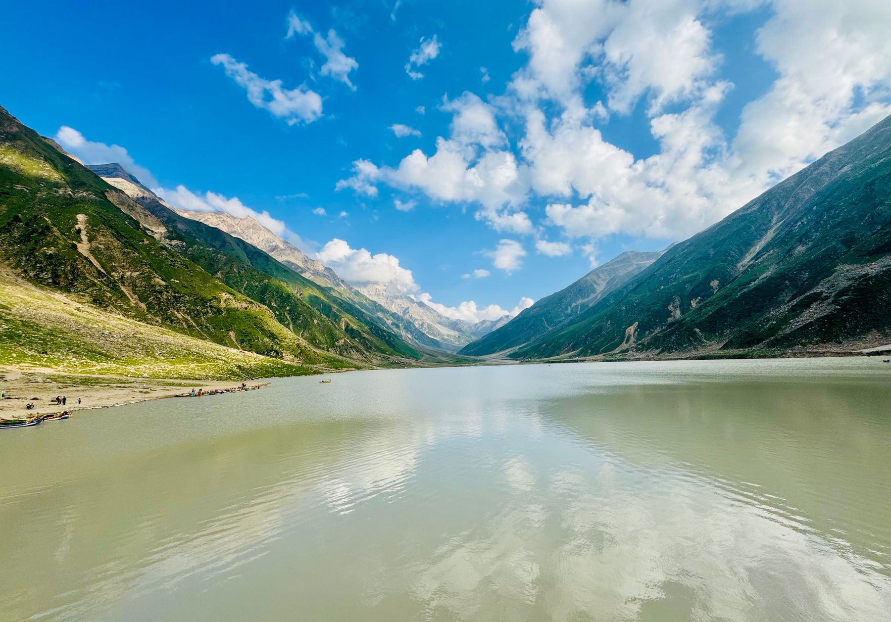 Photo: Sayed Attaullah Shah / Pexels
From July to September the monsoon sweeps across Pakistan from the south-east. Rain falls hardest on the plains and the outer Himalaya, and the hill stations fill with visitors escaping the heat. Naran, at the head of the Kaghan valley, is the busiest of them. The weather is part of the trip, not a reason to stay away, provided you plan around it.
Naran in the rain
Naran sits at around 2,400 metres in the Kaghan valley, in Khyber Pakhtunkhwa, about six hours by road from Islamabad in good conditions. In monsoon the road slows. The Kunhar river runs high and brown below the town, and cloud sits on the ridges for much of the day. Mornings are often clear, with rain arriving in the afternoon.
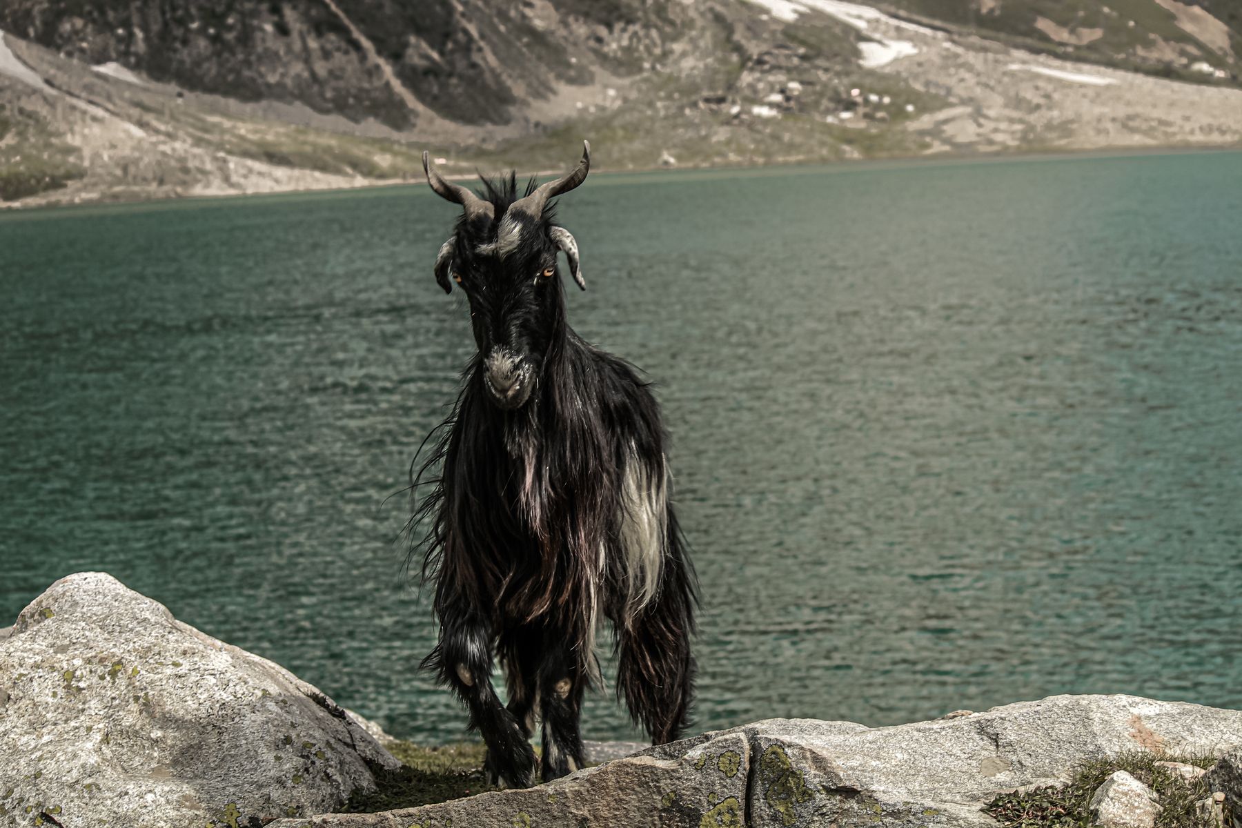
The town is a base rather than a destination. From Naran you can reach Lake Saiful Muluk, a glacial lake below Malika Parbat, though the track up is rough and can be closed by landslides after heavy rain. The walk to the lake, when the road is open, takes several hours on foot. Local jeeps run the route when conditions allow.
Further up the valley, the road continues to Babusar Top, the pass that links Kaghan with Chilas and the Karakoram Highway. The pass is usually open from July to September, but snow and landslides can close it at short notice. Check road conditions locally before setting out, and carry warm clothing even in midsummer.
Waterfalls and side valleys
The Kaghan valley has several waterfalls that run strongly in monsoon. The best known is near Kawai, on the main road between Balakot and Naran, where water drops beside the road. Further up, the Shogran and Siri Paye meadows sit above the valley on a side road from Kawai. The track to Siri Paye is steep and often muddy in the rain.
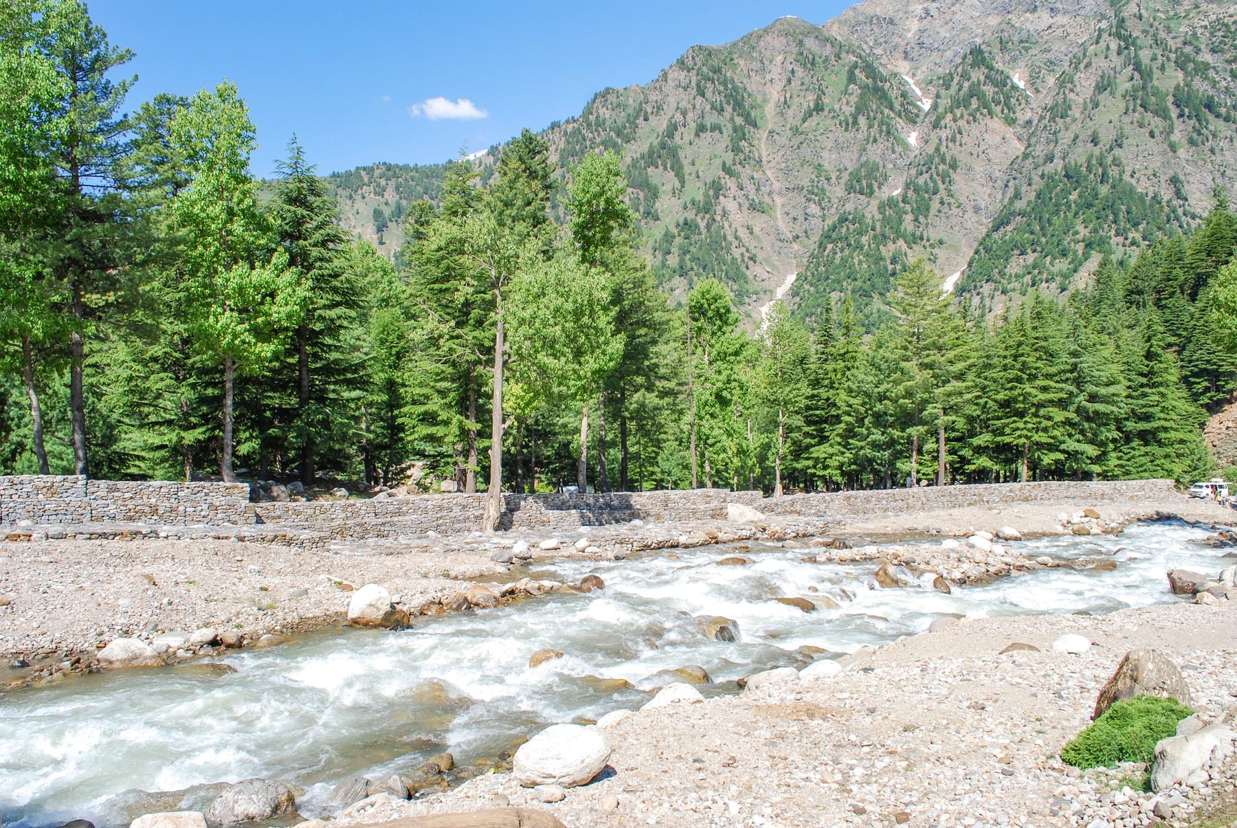
The Kunhar river itself is the valley's constant. It rises near Babusar and runs south through Naran, Jalkhad and Balakot to join the Jhelum. In monsoon it carries meltwater and rain, and the sound of it fills the valley. Rafting and fishing are not advisable when the river is high.
Balakot, at the valley's lower end, is the gateway. The town was rebuilt after the 2005 earthquake, and the road north from here follows the river. In heavy rain, landslides can block the road between Balakot and Naran for hours or days. Allow extra time and avoid night driving.
بارش رحمت ہےRain is a blessing: a common Urdu saying, fitting for a season that fills the rivers and fields.
What to eat and drink
Monsoon food in the hills is simple and warming. Trout from the Kunhar and from local fish farms is common, grilled or fried with spices. It is usually served with rice or flatbread. In Naran and Balakot, small kitchens serve daal, chickpeas and mutton karahi through the day.
The valley grows maize, potatoes and beans, and in summer the roadside stalls sell fresh apricots, plums and cherries from orchards lower down. Hunza apricots, dried, are sold in the bazaars. Tea is the standard drink, boiled with milk and sugar, and worth ordering in the cold and wet.
The monsoon also brings mushrooms, which local families gather in the forests. They appear in curries and are sold in the bazaars. If you are unsure of a variety, buy from a stall rather than foraging. Bottled water is widely available; tap water in the hills is not treated.
Beyond Kaghan
The monsoon does not close the north. The Karakoram Highway from Islamabad through Besham, Chilas and Gilgit runs through rain-shadow country, and the high valleys of Hunza and Baltistan are largely dry in summer. The road can still be affected by landslides, especially between Besham and Chilas, so check conditions before travelling.
Skardu and the Shigar valley are reached by air or by the Skardu road from the Karakoram Highway. In monsoon the road can be cut by flash floods in the side valleys. Flights are more reliable in clear weather, though summer cloud can delay them. The Deosai plains, above Skardu, are usually accessible from July to September.
Closer to the plains, the hill stations of Murree and the Galiyat are at their busiest in monsoon. Cloud and rain are frequent, and the roads can be slippery. The Margalla Hills above Islamabad are green and full of water, and the trails are popular at weekends. Leeches are common on shaded paths after rain.
Planning around the weather
Travel early in the day. In the hills, rain and cloud often build in the afternoon, and landslides are more likely after sustained rainfall. Keep the itinerary loose, with a spare day on either side of any mountain road. Check the forecast and ask locally about road conditions before each stage.
Some areas require a No Objection Certificate (NOC) or have travel advisories, particularly near the Line of Control in Azad Kashmir and in parts of Balochistan and the border districts. Rules change, so check current official advice before going. Carry identification and copies of any permits.
Pack for wet and cold weather: waterproofs, warm layers, sturdy shoes and a torch. Roads in the hills are narrow and can be busy in the summer holidays. If travelling by public transport, expect delays. The monsoon is a season of green valleys and full rivers, and with care it is a good time to see the north.
Where to find it
- NaranBase town in the Kaghan valley, around 2,400 metres, with access to Lake Saiful Muluk and Babusar Top.
- KawaiRoadside stop between Balakot and Naran with a waterfall and the turn-off to Shogran and Siri Paye.
- BalakotGateway to the Kaghan valley, rebuilt after 2005, where the road follows the Kunhar river north.
- Babusar TopHigh pass linking Kaghan with Chilas, usually open July to September, subject to snow and landslides.
- ShogranHill station above Kawai with meadows and views, reached by a steep side road.
Frequently asked questions
Is Naran safe to visit during the monsoon?
Naran is accessible in monsoon, but roads can be blocked by landslides, especially between Balakot and Naran. Check local conditions, travel in daylight and allow extra time. The higher track to Lake Saiful Muluk may be closed after heavy rain.
What should you pack for a monsoon trip to Kaghan?
Bring waterproofs, warm layers, sturdy shoes and a torch. Days can be cool and wet, and nights colder. Roads are muddy, so footwear with grip helps. Carry identification and any permits required for the areas you plan to visit.
When is the monsoon in Pakistan?
The monsoon usually runs from July to September, bringing rain from the south-east. The plains and outer Himalaya receive the most rain. The northern valleys beyond the main ranges are drier, but roads can still be affected by landslides.
Find a stay in Naran
Live prices and availability open in the IMPT app, in a new tab.