 Photo: Taha Abbas / Pexels
Day trip to Khunjerab Pass
Khunjerab Pass sits at 4,693 m on the Pakistan-China border, about 90 km north of Passu. A day trip covers the climb along the Karakoram Highway, the high pastures of the Khunjerab National Park and the border gate itself.
The road from Passu to Khunjerab Pass follows the Hunza River north through Sust and the upper Khunjerab valley. The drive is long, the altitude gain is rapid and the weather can change within an hour. Most travellers leave early, carry food and water, and allow time for checkpoints and border formalities. The pass is usually open from May to October, though snow can close it at either end of the season.
How the day goes
- Early morningLeave PassuSet off before dawn to reach the pass before midday. The first stretch follows the Hunza River to Sust, where paperwork may be checked.
- Mid-morningClimb to the passBeyond Sust the road climbs through the Khunjerab National Park. Watch for marmots and ibex on the slopes. The air thins quickly.
- Late morningAt the borderThe pass marks the Pakistan-China border. Walk to the gate and the marker stones. The views take in the Karakoram and the Pamir plateau.
- MiddayReturn southBegin the descent after a short stop. The return to Passu takes several hours, with a break at Sust or Gulmit.
- Late afternoonBack in PassuArrive in the valley by late afternoon. Rest and drink water to help with the altitude.
What to bring
- Passport and any permits or NOC copies
- Warm layers, hat and gloves even in summer
- Food and drinking water for the day
- Sun cream and sunglasses for the high altitude
- Cash for fuel and any fees, as cards are not accepted
Know before you go
- The pass is usually open from May to October; snow can close it at either end of the season.
- A No Objection Certificate may be required for travel in the border area. Rules change, so check current official advice before going.
- Altitude at the pass is 4,693 m. Ascend slowly, watch for headaches and turn back if symptoms worsen.
- Mobile coverage is limited beyond Sust. Tell someone in Passu your plan and expected return time.
- The border gate is a formal crossing point. Photography may be restricted near checkpoints.
Where it starts
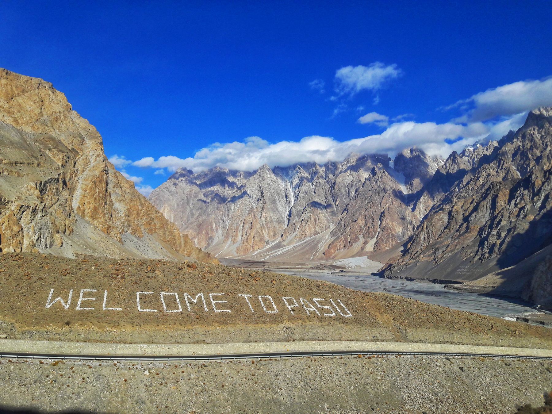
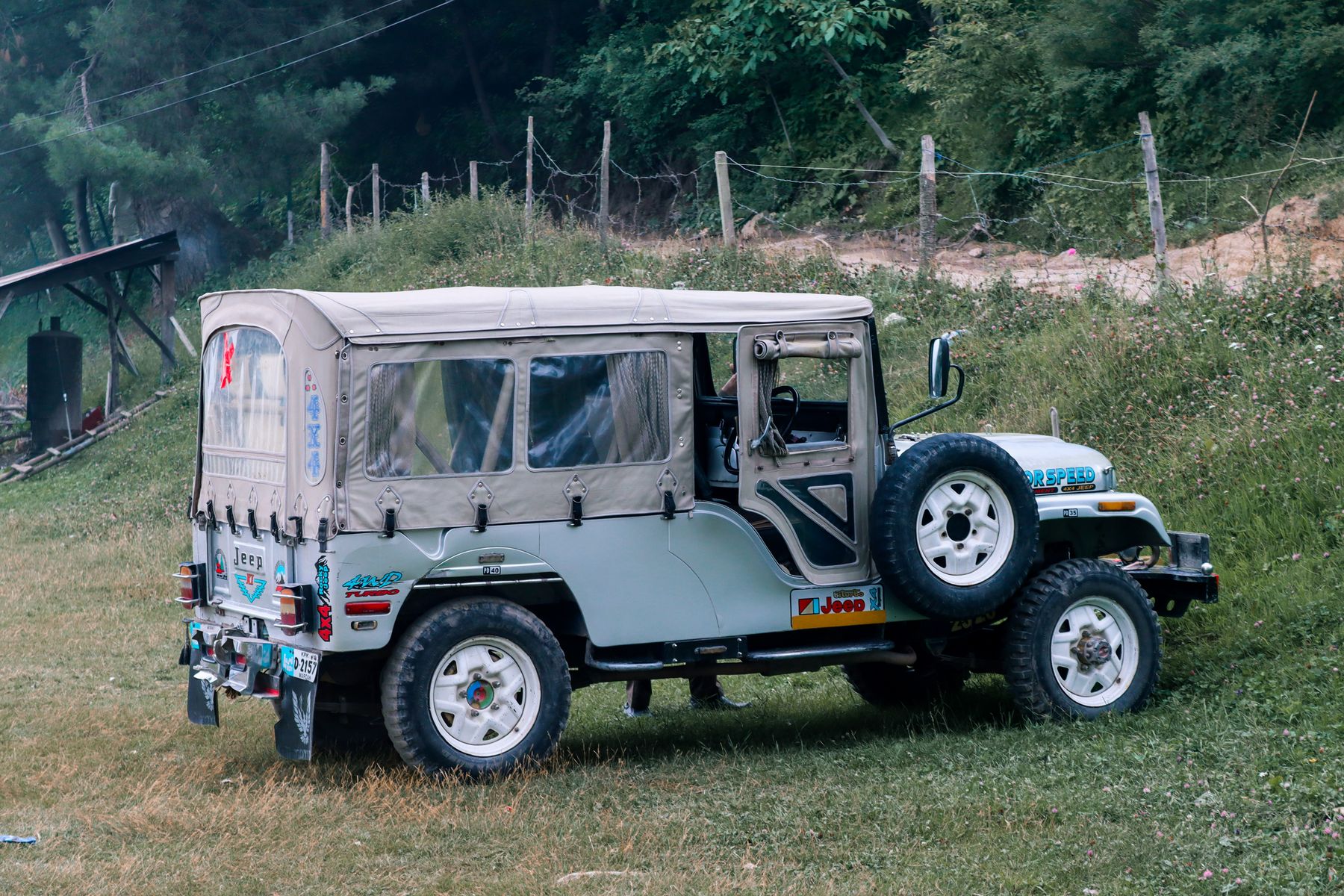
The trip starts in Passu, on the Karakoram Highway in Gilgit-Baltistan. Passu is about 100 km north of Gilgit and 40 km from Sust. Travellers usually hire a local guide or jeep in Passu or Gulmit, as public transport does not run to the pass.
The route north
From Passu the Karakoram Highway crosses the Hunza River and passes through Gulmit and Ghulkin before reaching Sust. The road then turns north-east into the Khunjerab valley, climbing steadily through the national park. The distance from Passu to the pass is about 90 km, but the drive takes several hours because of the altitude, road conditions and checkpoints.
The Khunjerab National Park covers high pasture and rocky slopes between roughly 3,000 and 5,000 metres. The park is home to ibex, marmots and snow leopards, though sightings are rare. The road is paved for most of the way, but landslides and snow can affect it. Check road conditions in Passu or Gulmit before setting out.
Sust and border formalities
Sust is the last town before the pass and the main checkpoint for the border area. Officials may ask for passports, vehicle documents and any No Objection Certificate. The process can take time, so allow for it in the day. The border itself is a few kilometres beyond the pass.
At the pass
Khunjerab Pass marks the border between Pakistan and China at 4,693 m. The gate and marker stones are the main points of interest. On clear days the view extends over the Karakoram range and the Pamir plateau. The air is thin and the weather can change quickly, with strong wind and sudden snow even in summer.
There are no facilities at the pass beyond a small border post. Travellers should carry food and water and not rely on anything being open. The border gate is a formal crossing point, and photography may be restricted near checkpoints. Ask before taking pictures of officials or installations.
Practical points
The pass is usually open from May to October. Snow can close the road at either end of the season, and the border may be shut on public holidays. Rules on access and permits change, so check current official advice before travelling. A No Objection Certificate may be required for the border area.
Altitude is the main risk. The pass is 4,693 m, and the climb from Passu is rapid. Symptoms of altitude sickness include headache, nausea and shortness of breath. Descend if symptoms worsen. Mobile coverage is limited beyond Sust, so tell someone in Passu your plan and expected return time. Travellers usually hire a local guide or jeep, as public transport does not run to the pass.
Frequently asked questions
How long does a day trip to Khunjerab Pass from Passu take?
The round trip from Passu to Khunjerab Pass and back takes a full day, typically 10 to 12 hours. The drive each way is about 90 km but takes several hours because of altitude, road conditions and checkpoints. Most travellers leave before dawn and return by late afternoon.
Do you need a permit for Khunjerab Pass?
A No Objection Certificate may be required for travel in the border area around Khunjerab Pass. Rules change, so check current official advice before going. Carry your passport and any permits. Officials at Sust may ask for documents.
When is Khunjerab Pass open to visitors?
Khunjerab Pass is usually open from May to October. Snow can close the road at either end of the season, and the border may be shut on public holidays. Check road conditions in Passu or Gulmit before setting out.
What is the altitude at Khunjerab Pass and is altitude sickness a risk?
Khunjerab Pass is at 4,693 m. The climb from Passu is rapid, so altitude sickness is a risk. Symptoms include headache, nausea and shortness of breath. Ascend slowly, drink water and descend if symptoms worsen.
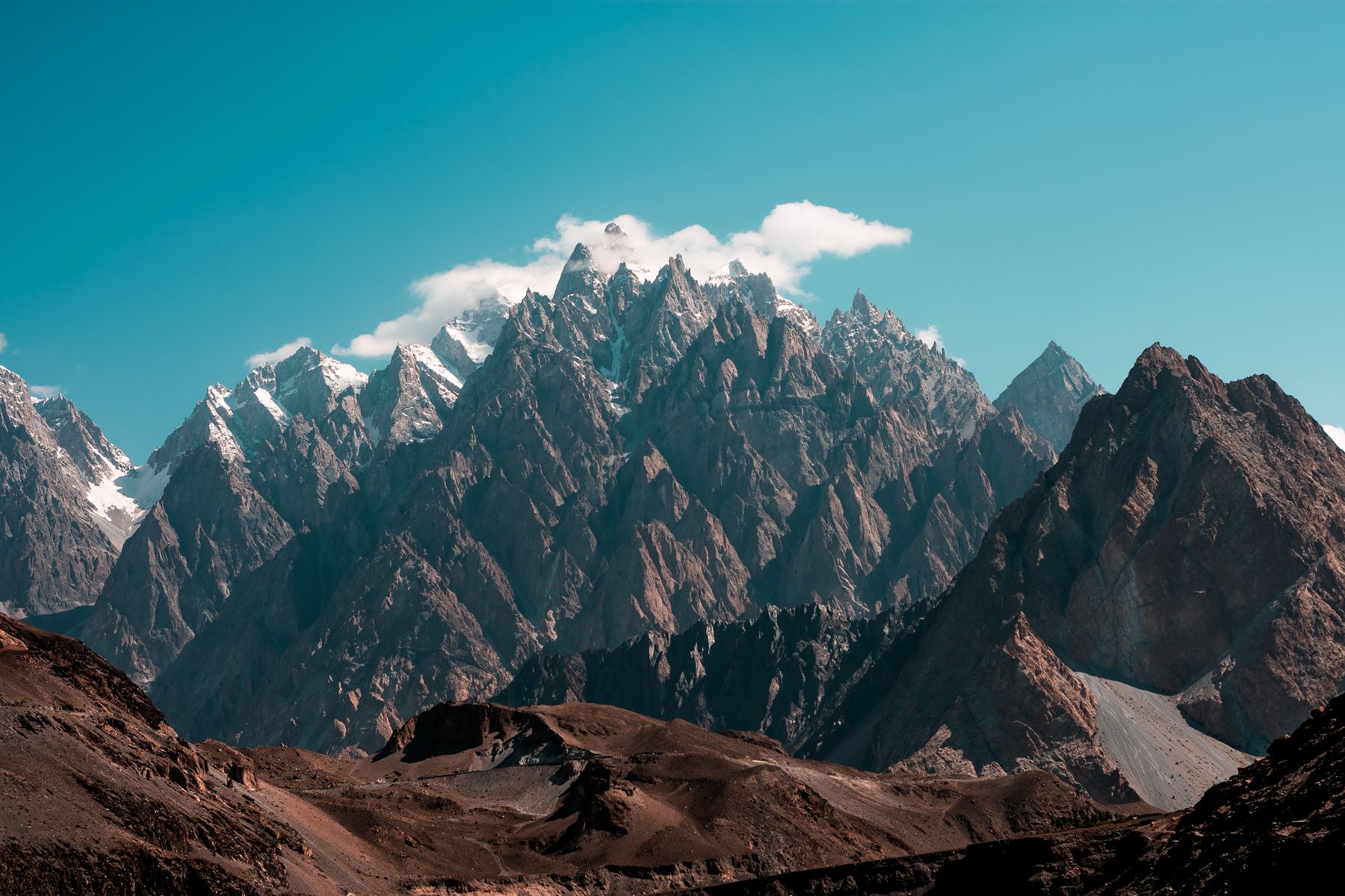 Photo: Raj Kumar Lohana / Pexels
Staying in Passu
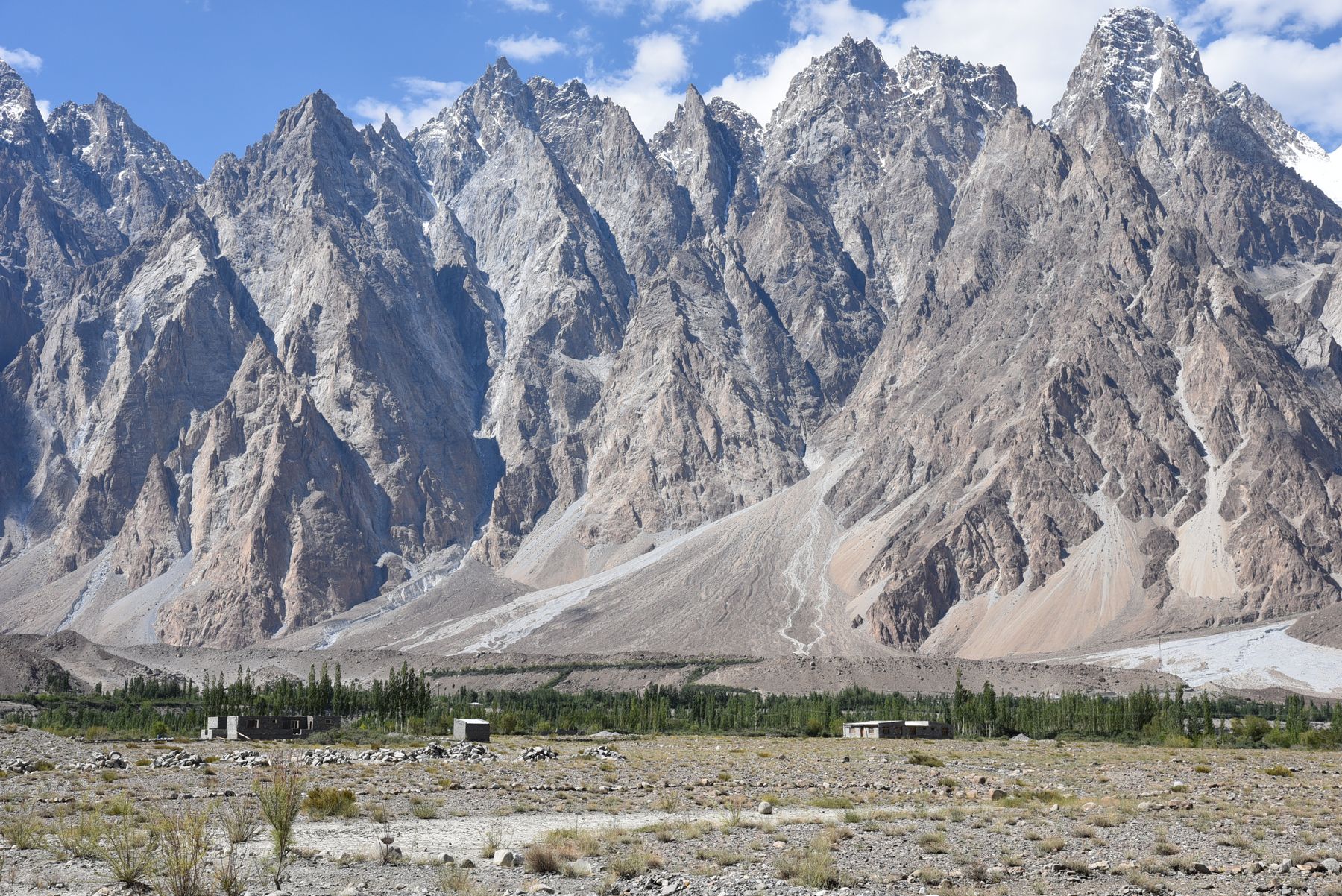
Passu has guest houses and small hotels with views of the Passu Cones. Book ahead in summer.