 Photo:
Visiting Passu
What Passu is like
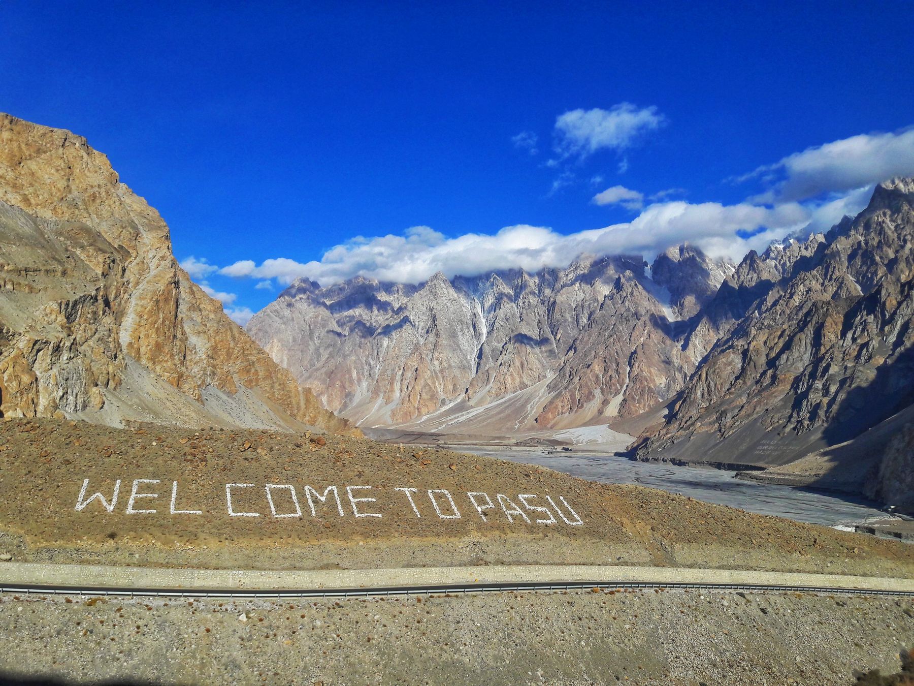
Passu is a village in the Gojal area of upper Hunza, on the west bank of the Hunza River. The Karakoram Highway passes through it. The village is spread across a slope, with terraced fields, stone houses and apricot and poplar trees. The Passu Glacier and the peaks above the village dominate the view to the north and east.
The climate is dry and high. Summers are mild by day and cool at night. Winters are cold, with snow on the ground and some side roads difficult. The village is small, with a few basic shops and places to stay. Most travellers use Passu as a base for the glacier, the bridge at Hussaini and walks in the surrounding area.
The glacier and peaks
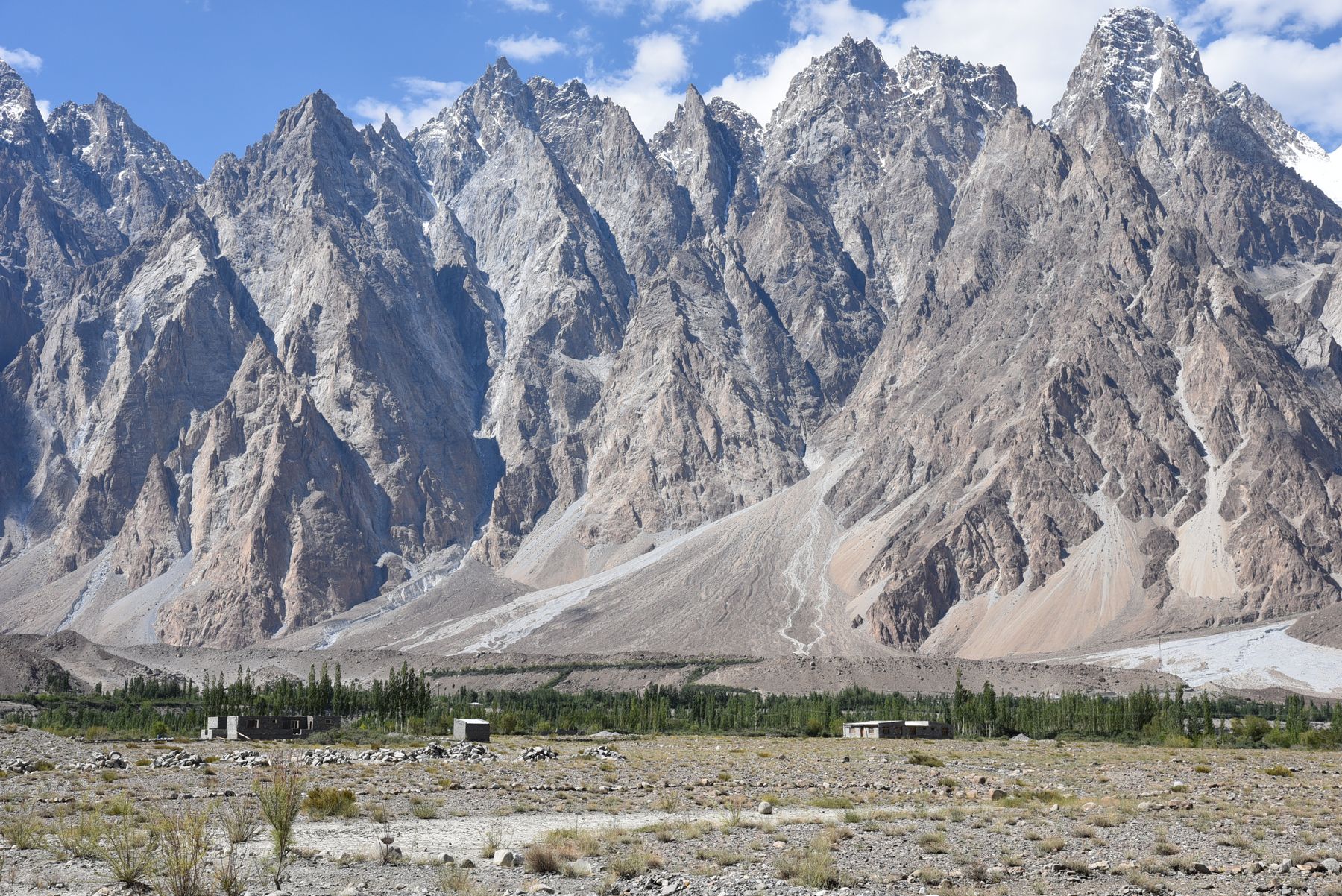
The Passu Glacier flows down from the high mountains and ends above the Hunza valley floor. The ice is covered with debris in places. The sharp peaks above the village, often called the Passu Cones, are eroded into fluted ridges. They are best seen in clear weather, usually in the morning before cloud builds.
What to see
The main sights are natural. The Passu Glacier can be viewed from the road and from tracks near the village. The Passu Cones stand above the settlement and are visible from many points in the valley. The Hussaini suspension bridge crosses the Hunza River a short distance north of Passu and is a common stop.
Gulmit, about 20 km north, has a bazaar and an old fort. Borith Lake lies above Gulmit and can be reached by a rough track. The views from the lake take in the Hunza valley and the surrounding peaks. The area is also a starting point for longer walks towards the glacier and nearby villages.
A day or two there
A first day can be spent around Passu itself. Walk to viewpoints over the glacier and the river. Visit the suspension bridge at Hussaini and continue to Hussaini village. In the afternoon, take a short walk through the terraced fields and along the Karakoram Highway for views of the Passu Cones.
A second day allows a trip north to Gulmit and Borith Lake. The lake is reached by a rough track, and the walk around it takes an hour or two. Alternatively, walk partway towards the glacier or explore the side valleys. Evenings are cool, and the night sky is clear away from the highway lights.
Walks from the village
Several tracks lead from Passu towards the glacier and the river. They are unmarked and can be rough. A local guide can help with routes and conditions. The walk to the glacier viewpoint takes about an hour from the village. The terrain is uneven and the altitude is about 2,400 m, so allow time to adjust.
Getting there and around
Passu is on the Karakoram Highway, about 100 km north of Gilgit and 40 km north of Karimabad in Hunza. The drive from Gilgit takes around two to three hours, depending on road conditions. From Karimabad the drive is about an hour. Vehicles can be hired in Gilgit or Karimabad, and local transport runs along the highway.
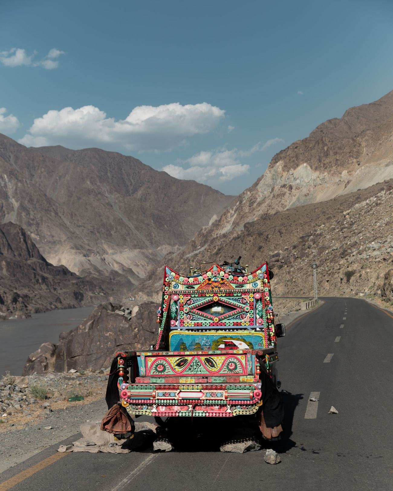
The Karakoram Highway is the main road through the valley. It is paved but can be affected by landslides and rockfall, especially after rain or snowmelt. Side tracks to the glacier and to Borith Lake are rough and may need a four-wheel-drive vehicle. Distances are short, but travel times can be longer than expected.
Local transport
Local vans and shared vehicles run between the villages along the highway. They stop at Passu and Gulmit. Schedules are not fixed and services are fewer in winter. For the side tracks and the lake, a local vehicle or a walk is needed. Fuel is available in Gulmit and Karimabad, not in Passu.
Practical notes
The best months are from May to October. July and August are warmest, with the most traffic. June and September are quieter. From November to April the area is cold, and snow can close side roads. The Karakoram Highway generally stays open, but check conditions before travelling. The Khunjerab Pass to China is usually open from May to November.
Passu is at about 2,400 m. Altitude effects are usually mild, but take the first day slowly. The area is dry, so drink water. There are basic shops and places to stay in Passu and more services in Gulmit. Mobile coverage is limited and can be unreliable. Bring cash, as there are no banks or ATMs in Passu.
Permits and access
The Hunza valley, including Passu, is generally open to travellers. Some border areas near the Khunjerab Pass and parts of Gilgit-Baltistan may require a No Objection Certificate (NOC). Rules change, so check current official advice before going. Travel advisories can apply to some districts. Carry identification and copies of documents.
Frequently asked questions
Where is Passu in Pakistan?
Passu is in the Hunza valley of Gilgit-Baltistan, on the Karakoram Highway. It lies about 100 km north of Gilgit and 40 km north of Karimabad. The village is on the west bank of the Hunza River, below the Passu Glacier and the peaks known as the Passu Cones.
What is there to see in Passu?
The main sights are the Passu Glacier, the Passu Cones and the Hussaini suspension bridge. Nearby are Hussaini village, Gulmit and Borith Lake. Walks from the village lead to glacier viewpoints and along the river. The area is known for mountain scenery rather than monuments.
When is the best time to visit Passu?
May to October is the usual season. July and August are warmest and busiest. June and September are quieter. From November to April it is cold and snow can affect side roads. The Karakoram Highway usually remains open, but check conditions before travelling.
Do you need a permit to visit Passu?
Passu itself is generally open to travellers. Some border areas near the Khunjerab Pass and parts of Gilgit-Baltistan may require a No Objection Certificate (NOC). Rules change, so check current official advice before going. Carry identification and copies of documents.