 Photo:



A travel guide to Gilgit-Baltistan
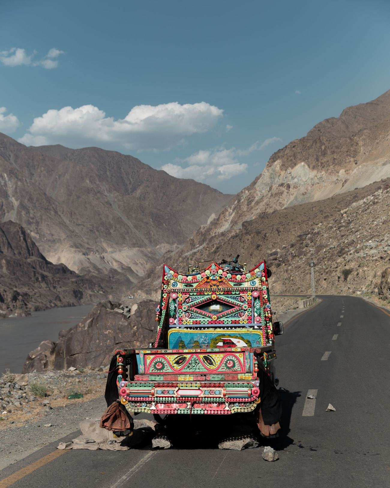
This guide covers when to visit, how to get there, which valleys to choose and what to know before you go. Most trips follow one of two lines: the Karakoram Highway north through Gilgit and Hunza to the Chinese border, or the Indus east to Skardu, Shigar and Khaplu in Baltistan. Pick one line per trip. Crossing between them takes a full day, and the valleys reward staying put.
Where Gilgit-Baltistan is
The region covers roughly 73,000 square kilometres in Pakistan’s north, bordering China to the north-east, Afghanistan’s Wakhan Corridor to the north-west and Khyber Pakhtunkhwa to the west. Three of the world’s great ranges meet here: the Karakoram, the Hindu Kush and the western end of the Himalaya. The confluence of the Gilgit and Indus rivers, near Jaglot, is one of the few places on earth where you can stand in sight of all three.
Five of the fourteen peaks above 8,000 metres are in Gilgit-Baltistan, including K2 at 8,611 m and Nanga Parbat at 8,126 m. Outside the polar regions, few places hold as much glacier ice. The Baltoro, Biafo and Hispar glaciers are each longer than 50 km.
For travel, the region splits in two. Gilgit, Hunza and the upper valleys follow the Karakoram Highway north towards China. Baltistan, with Skardu, Shigar and Khaplu, follows the Indus and Shyok rivers east. Each is its own trip.
Best time to visit
The main season runs from April to October. Each part of it is different. April and May bring blossom to Hunza and Skardu, with apricot and cherry trees flowering from late March to mid-April. Days are mild and nights cold. High passes such as Babusar and Khunjerab may still be closed or only just opening.
June to August is high summer. Every road is open, Deosai plains are green and in flower, and Fairy Meadows is at its best. This is also when Pakistani families travel north, so book Hunza and Skardu ahead, especially around Eid. Lower towns such as Gilgit and Chilas can be hot in the afternoon.
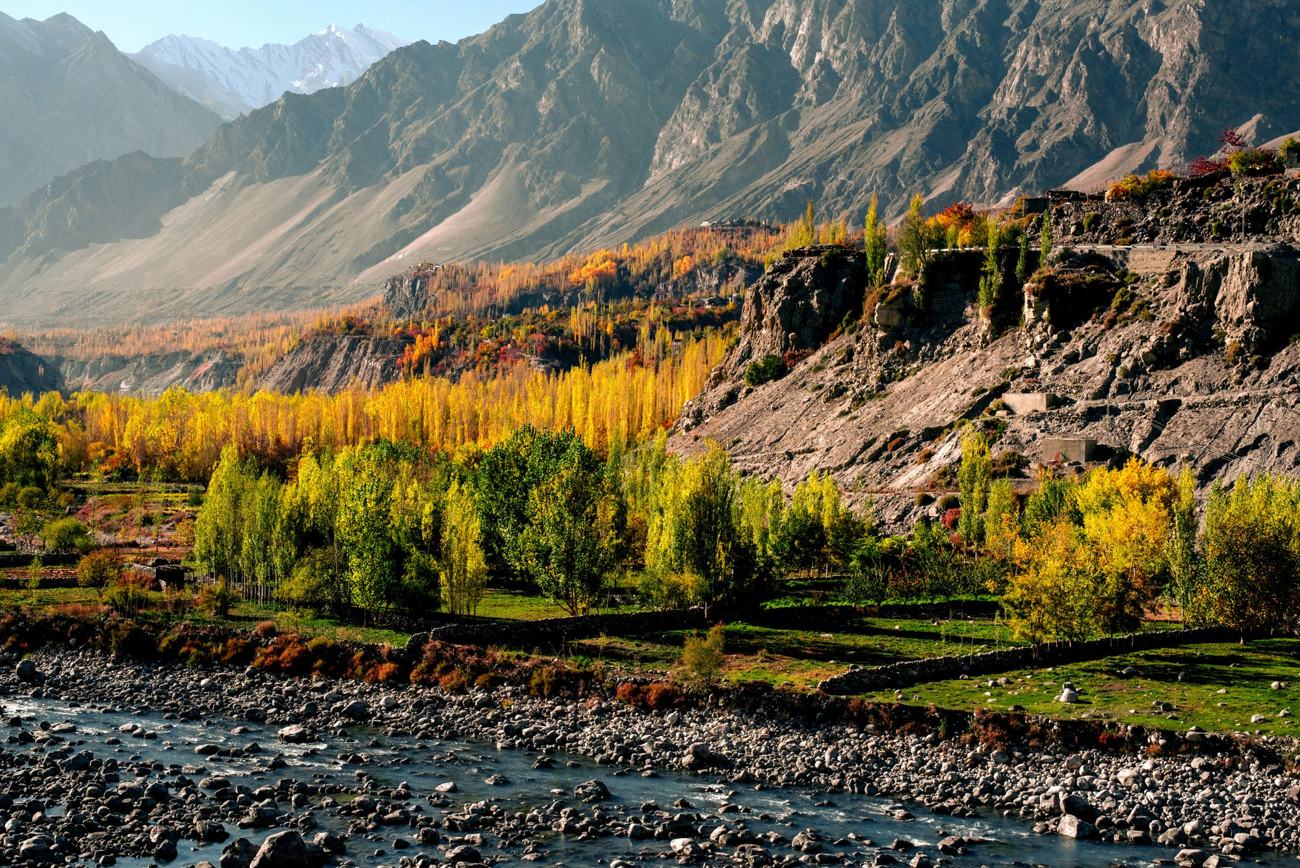
September to early November is autumn. Skies are clear, the crowds have gone, and the poplars and apricot orchards turn gold from mid-October. Deosai closes with the first snow, usually by late September. December to March is winter: very cold, with many guest houses closed and flights often cancelled. Winter can be beautiful in Hunza and Skardu if you are prepared, but it is not a first trip.
Getting there
By air, there are flights from Islamabad to Gilgit and to Skardu, and Skardu also has some flights from Lahore and Karachi. The Gilgit flight passes Nanga Parbat and is one of the great short flights anywhere, but it runs only in clear weather and is often cancelled. Keep a spare day at each end, and have a plan to go by road.
By road, from Islamabad there are two routes north. In summer, roughly June to October, most people drive the Hazara Motorway to Naran and cross Babusar Top at 4,173 m before joining the Karakoram Highway at Chilas. It is the faster and more scenic route, and an overnight in Naran breaks it well. The rest of the year, the road follows the KKH itself through Besham and the Indus gorge, which is longer and slower.
Plan on two days from Islamabad to Hunza by road, and a day and a half to Skardu. The Skardu road leaves the KKH near Jaglot and follows the Indus through a deep gorge.
Hunza and the Karakoram Highway
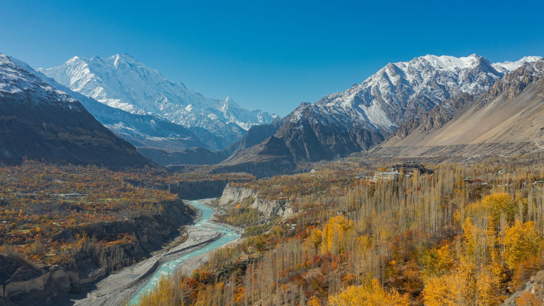
If you have one week and it is your first visit, go to Hunza. Karimabad, the old capital, sits on terraces above the river with Baltit Fort at the top and Rakaposhi (7,788 m) across the valley. Altit Fort, older still, hangs over a sheer drop to the river.
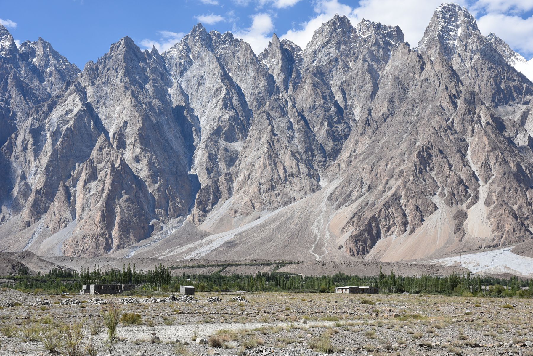
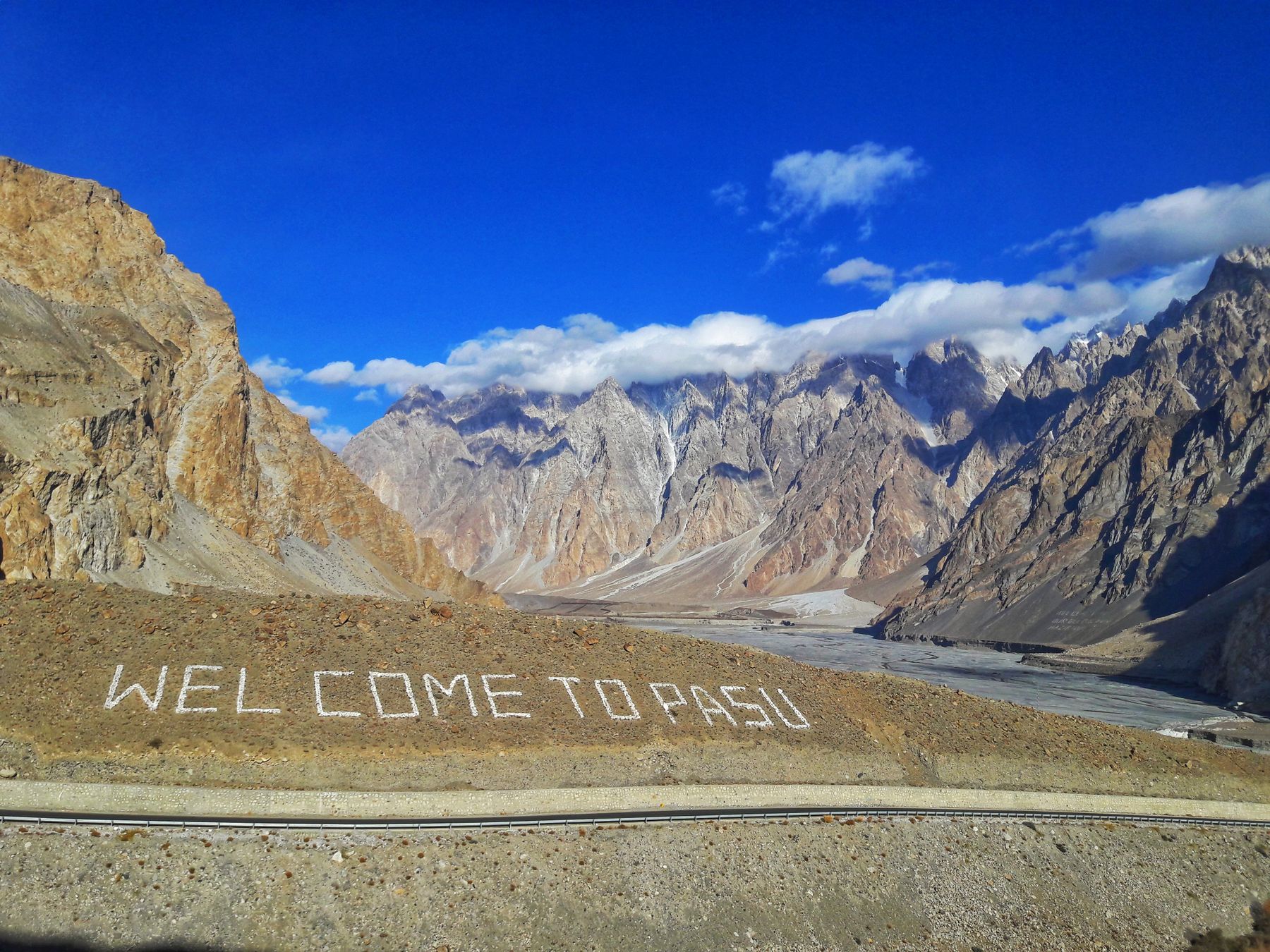
North of Karimabad the highway passes Attabad Lake, formed by a landslide in 2010, then reaches Gulmit and Passu in Upper Hunza, also called Gojal. Passu has the saw-toothed Passu Cones, a glacier you can walk to and the Hussaini suspension bridge. Beyond Sost the road climbs to Khunjerab Pass at 4,693 m, the border with China and one of the highest paved crossings in the world.
Karimabad and forts
Karimabad is the base for Hunza. Baltit Fort, restored and open to visitors, sits above the bazaar. Altit Fort is a short walk or drive down the valley. The Eagle’s Nest viewpoint, above Karimabad, is a classic spot for sunrise over Rakaposhi. Allow two or three nights.
Passu and Gojal
Passu is a small village on the KKH with views of the Passu Cones and the Passu Glacier. The Hussaini suspension bridge crosses the Hunza River near Gulmit. A day trip to Khunjerab Pass is possible from Passu, but check the pass is open and carry your passport for the border checkpost.
Skardu and Baltistan
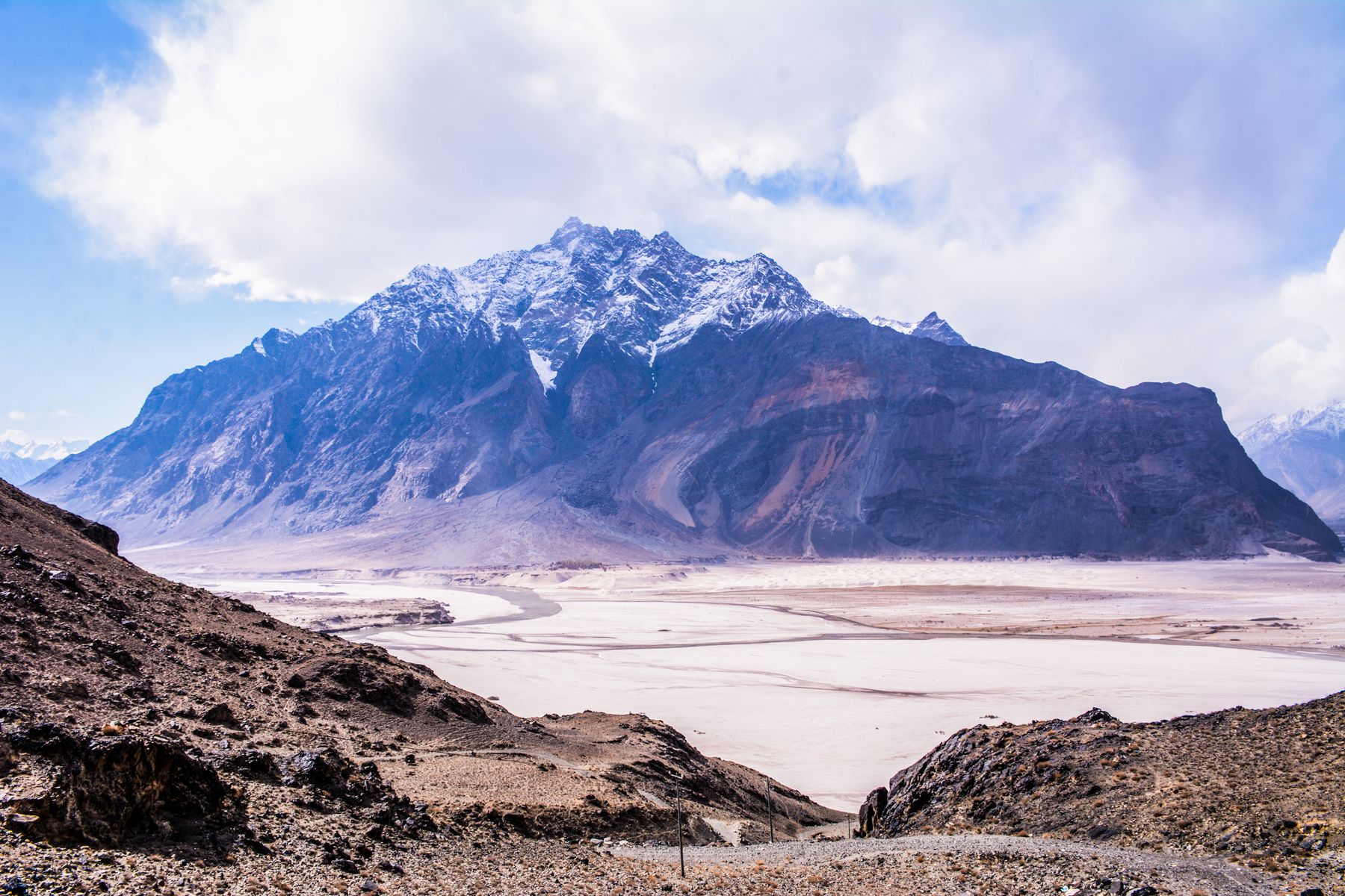
Skardu is the base for Baltistan and for expeditions to K2 and the Baltoro. Within an hour are Upper and Lower Kachura lakes, the cold desert at Katpana with its sand dunes at 2,200 m, and Manthokha waterfall.
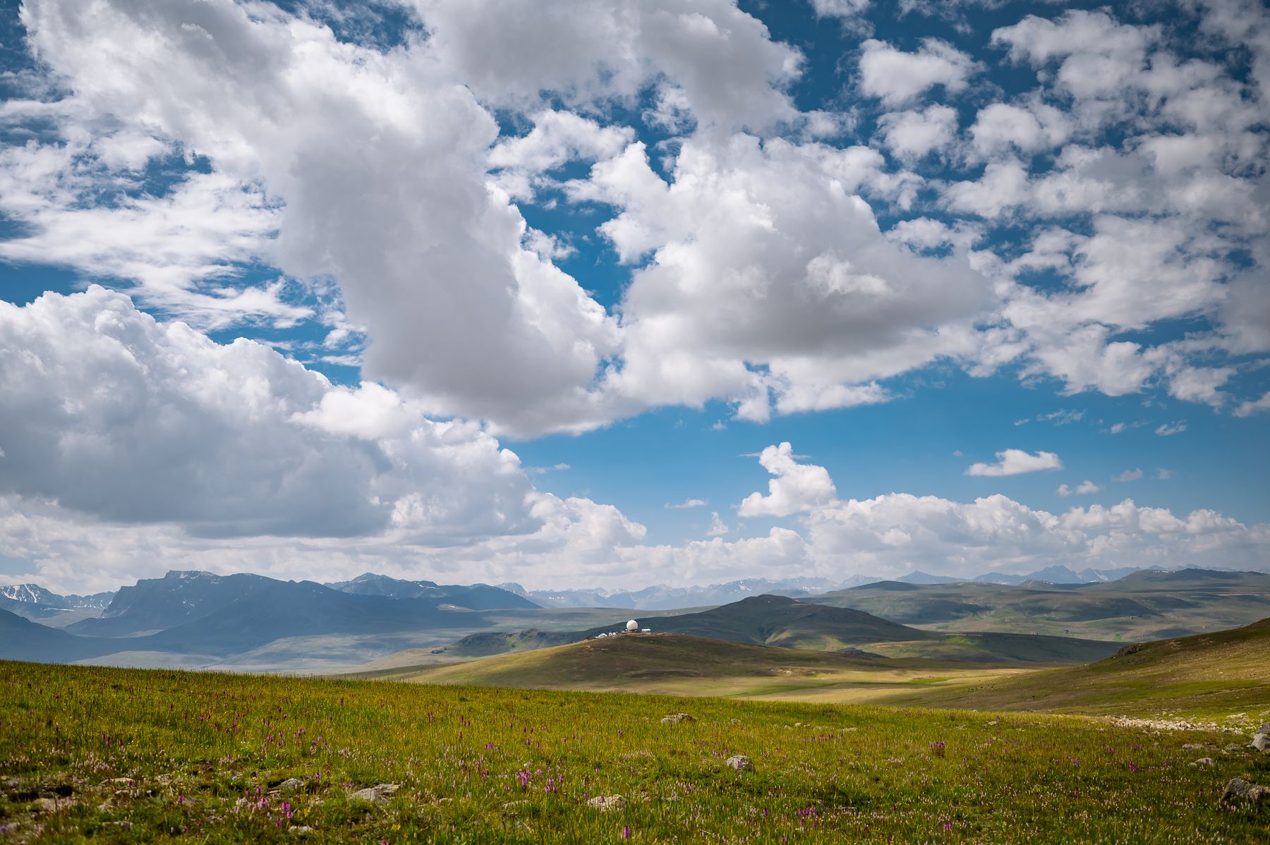
Shigar, an hour north, has a 17th-century fort restored as a hotel. Khaplu, three hours east up the Shyok, has a royal palace and a wooden mosque, and feels far from everywhere. In summer the road south from Skardu crosses Deosai, a high plateau averaging over 4,000 m, known for wildflowers and Himalayan brown bears.
Shigar and Khaplu
Shigar Fort is a restored 17th-century palace. Khaplu Palace, further east, is another restored royal residence. Both are worth a visit. Khaplu also has an old wooden mosque. The drive from Skardu to Khaplu takes about three hours.
Deosai plains
Deosai is a high plateau averaging over 4,000 m, crossed by a road from Skardu to Astore in summer. It is known for wildflowers and Himalayan brown bears. The road is usually open from July to September, depending on snow. Check locally before setting out.
Fairy Meadows and Nanga Parbat
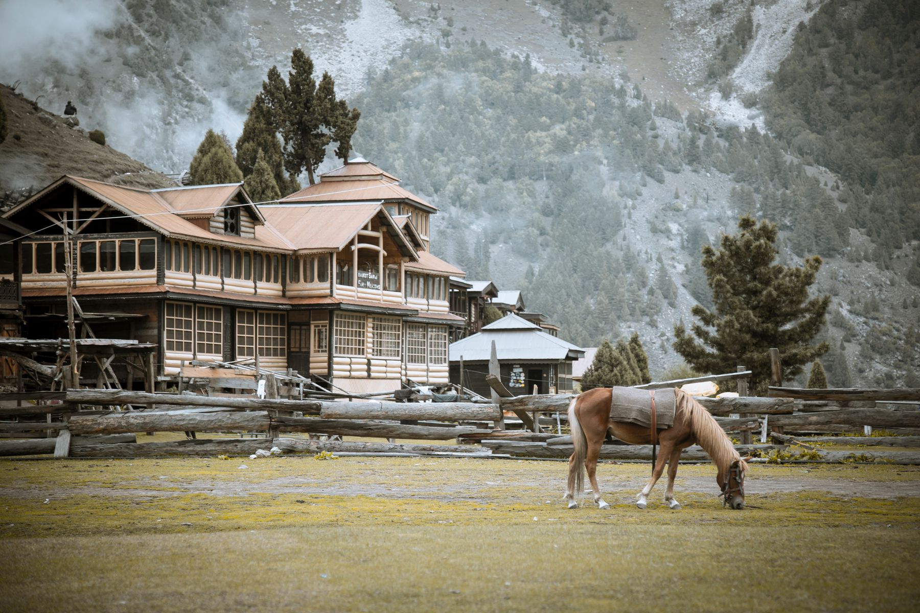
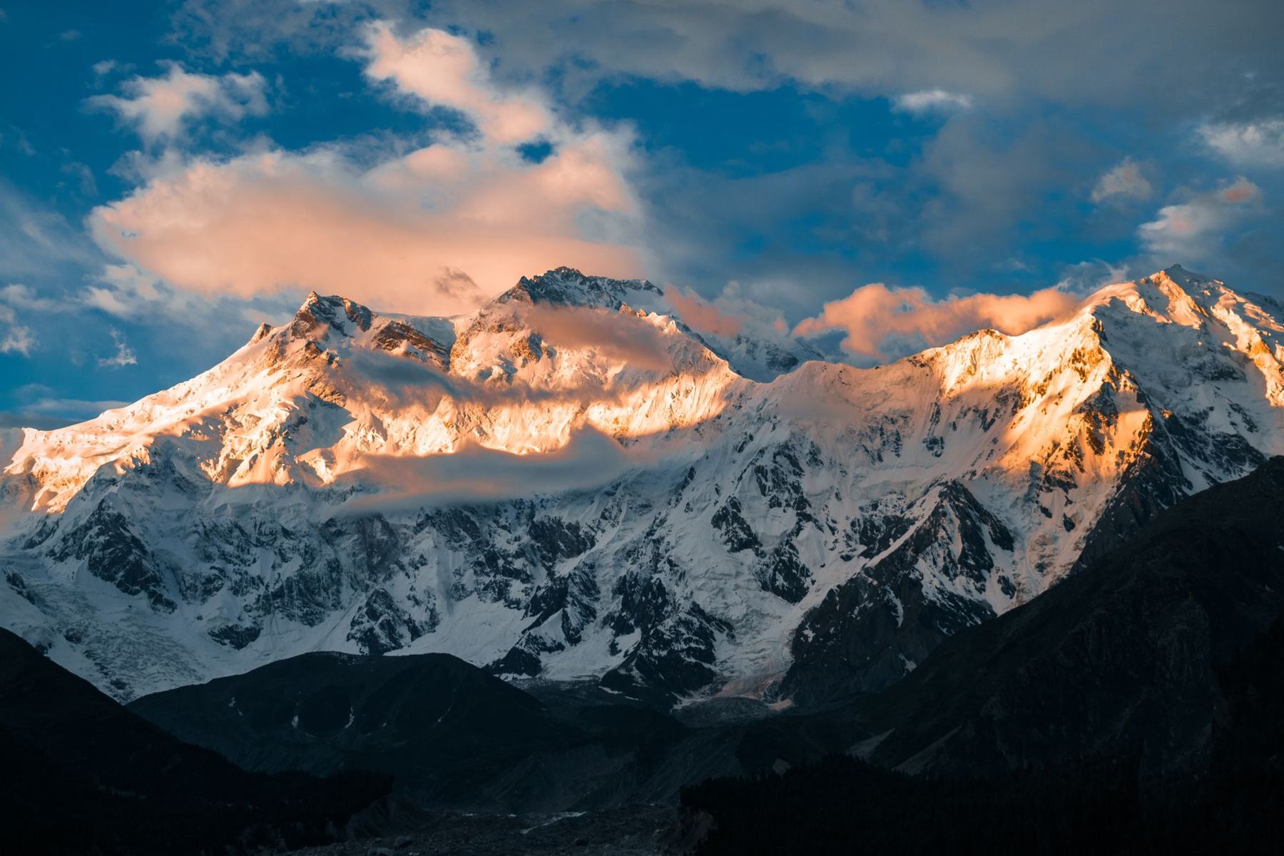
Fairy Meadows is a pine-fringed meadow at about 3,300 m facing the Rakhiot face of Nanga Parbat. There is no road. From Raikot Bridge on the KKH, a jeep track climbs to Tato, then it is a two- to three-hour walk, or a pony ride, to the cabins.
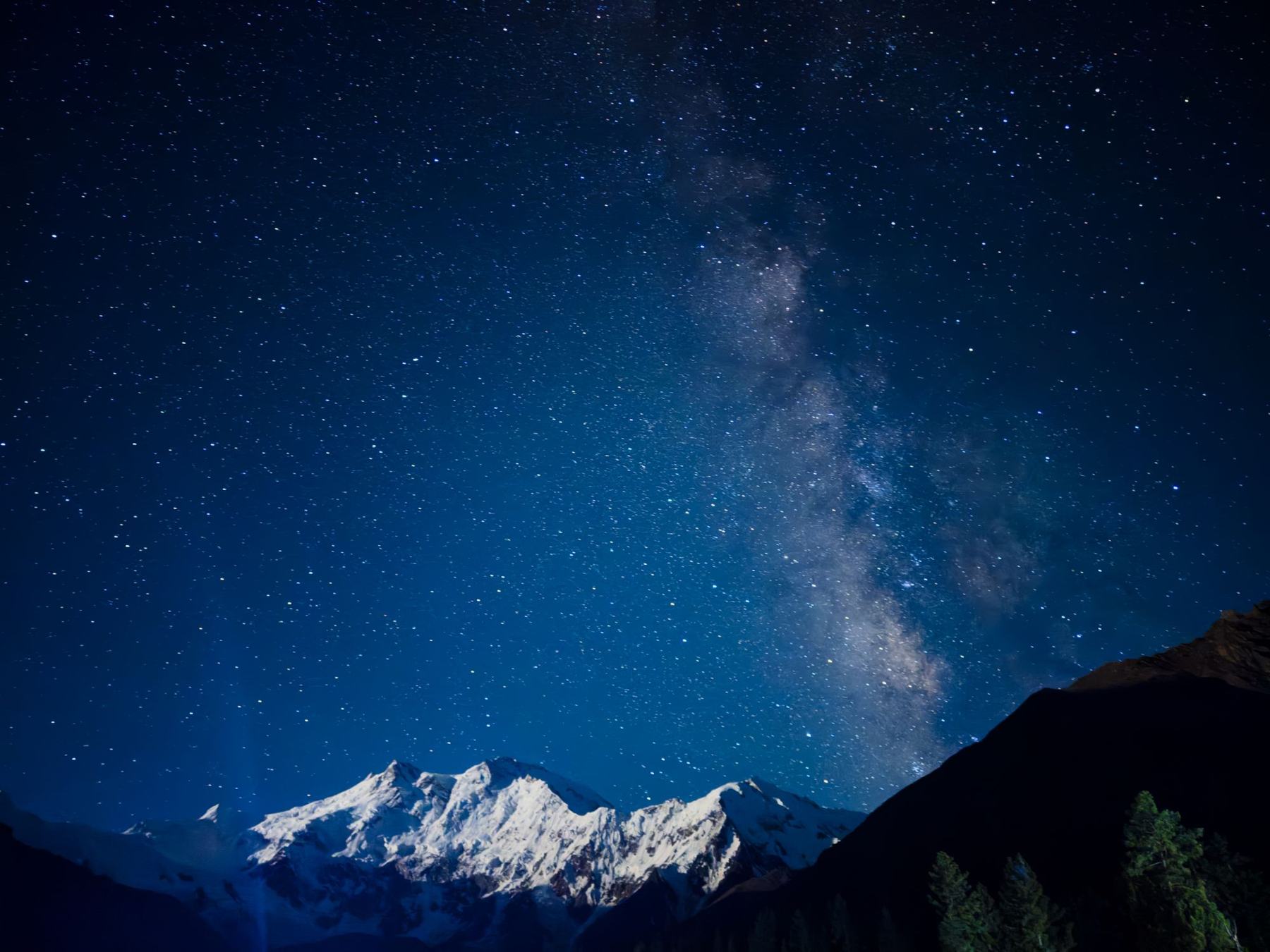
Stay two nights. One night means arriving tired and leaving early. Two gives you a full day to walk to Beyal and the base-camp viewpoint, and a second clear night for the stars.
Getting around
Most visitors hire a car and driver, either from Islamabad or locally in Gilgit or Skardu. Drivers know the roads, the checkposts and where to stop for tea, and they let you look out of the window. Self-driving is possible, but landslides, livestock and long blind bends make it tiring.
Public minibuses (NATCO and private coasters) link Gilgit with Hunza, Skardu and Rawalpindi, and they are cheap and reliable. For side valleys and Fairy Meadows, you will need a local jeep. Distances are short on a map and long in practice. Expect 30 to 40 km per hour on mountain roads, and do not drive at night.
Permits, cash and signal
Foreign visitors need no special permit for the main tourist areas, including Hunza, Skardu, Fairy Meadows and the KKH to Khunjerab. Treks and climbs in restricted zones, such as K2 base camp and the Baltoro, need a permit arranged through a licensed tour operator. Rules change, so check before you book.
Police checkposts along the KKH and the Skardu road record passports or CNICs. Carry several photocopies of your passport and visa to hand over. It saves time at every stop.
ATMs work in Gilgit, Karimabad, Aliabad and Skardu, but can run dry on holidays. Beyond them, and at Fairy Meadows, cash is the only option. Carry enough rupees for the whole stretch. Signal is improving but patchy. SCOM has the widest reach in the north, and the main national networks work in larger towns. Expect no signal on Deosai and at Fairy Meadows.
Altitude
Most towns sit between 1,500 and 2,800 m, which is fine for most people. Khunjerab, Babusar and Deosai are above 4,000 m. Go up gradually, drink water and come down if headaches get worse.
Safety
The main tourist areas, including Hunza, Skardu and Fairy Meadows, are widely regarded as among the safest parts of Pakistan and see many domestic and foreign visitors each year. The bigger risks are roads and weather, not crime. Check your government’s current advice before travelling.
Food, languages and customs
Northern food is different from the plains. Look for chapshuro, a meat-filled flatbread from Hunza; mamtu dumplings; harissa, slow-cooked wheat and meat in winter; and dried apricots, walnuts and mulberries everywhere. Try salt tea, made with butter, at least once.
The region is one of the most linguistically varied in Pakistan. Shina is spoken around Gilgit, Burushaski in central Hunza, Wakhi in Gojal and Balti in Baltistan, and Urdu is understood almost everywhere. Hunza is mostly Ismaili, Baltistan mostly Shia and Noorbakhshi. Dress modestly, ask before photographing people, especially women, and remove your shoes when invited into a home.
Suggested itineraries
Seven days: Hunza. Drive Islamabad to Naran on day one and over Babusar to Karimabad on day two. Spend three nights in Karimabad for Baltit, Altit and the Eagle’s Nest sunrise, then two in Passu for Attabad Lake, the bridges and a day trip to Khunjerab. Fly home from Gilgit, keeping the road as a backup.
Ten days: Hunza and Fairy Meadows. Follow the seven-day plan, then head south to Raikot Bridge for two nights at Fairy Meadows before leaving from Gilgit.
Fourteen days: the whole north. Add Baltistan. From Gilgit, take the Indus road to Skardu for three nights, with a day at Shigar and a day at the Kachura lakes, then continue to Khaplu for one or two quiet nights. In July and August, return across Deosai to Astore instead of retracing the gorge. Fly out of Skardu, or drive back over two days.
Frequently asked questions
Is Gilgit-Baltistan safe for tourists?
The main tourist areas, including Hunza, Skardu and Fairy Meadows, are widely regarded as among the safest parts of Pakistan and see many domestic and foreign visitors each year. The bigger risks are roads and weather, not crime. Check your government’s current advice before travelling.
How many days do I need in Gilgit-Baltistan?
Seven days covers Hunza with a night or two on the way. Ten days adds Fairy Meadows. Two weeks lets you do Hunza and Skardu without rushing.
Should I visit Hunza or Skardu first?
Hunza for a first visit: it has more places to stay, easier walks and the KKH. Choose Skardu if you want lakes, desert and the big Karakoram peaks.
Can I see K2 without trekking?
Not from a road. Seeing K2 means a trek of roughly two weeks up the Baltoro glacier to Concordia, with a permit and a licensed operator. You can see Nanga Parbat from the KKH and, much closer, from Fairy Meadows.
Do I need a permit for Gilgit-Baltistan?
Foreign visitors need no special permit for the main tourist areas, including Hunza, Skardu, Fairy Meadows and the KKH to Khunjerab. Treks and climbs in restricted zones, such as K2 base camp and the Baltoro, need a permit arranged through a licensed tour operator. Rules change, so check before you book.