 Photo:
Visiting Skardu
What Skardu is like
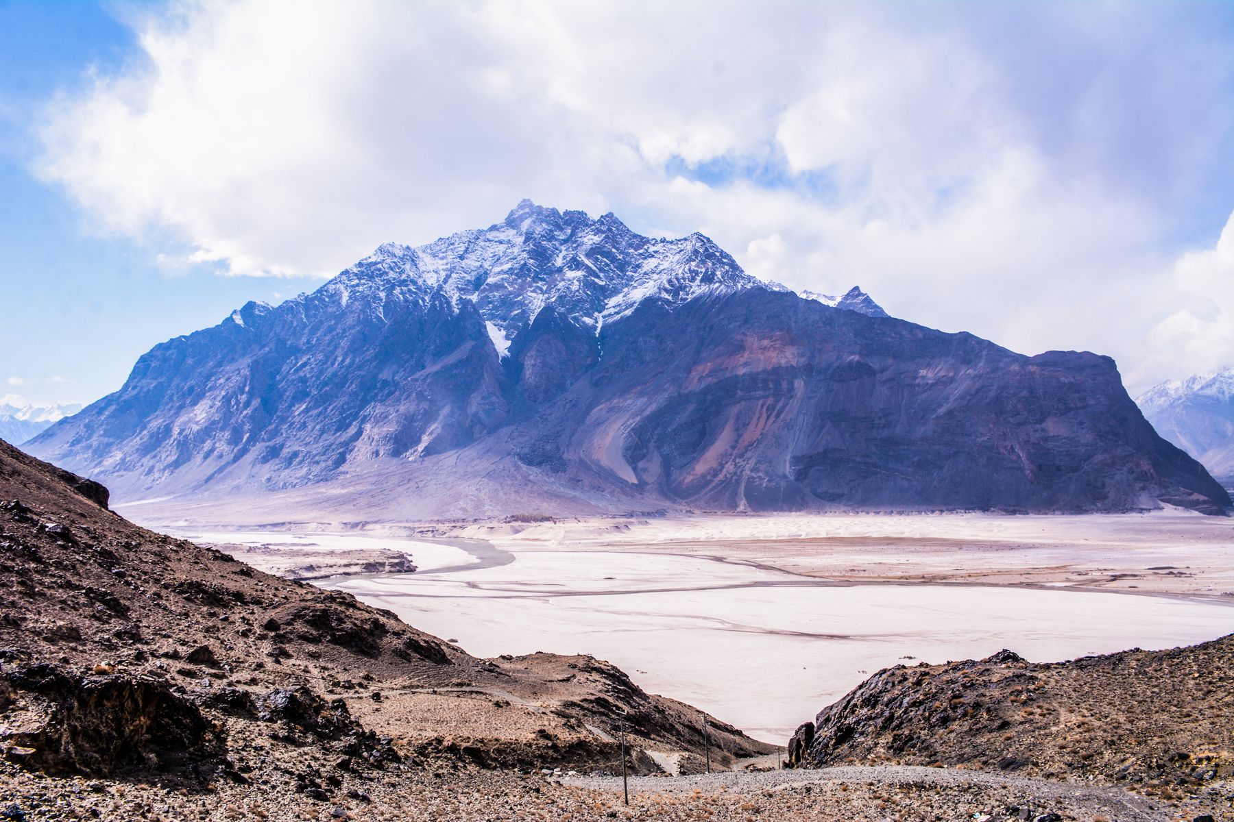
Skardu sits in a basin at about 2,228 m where the Indus valley widens. The town spreads along the river and up the lower slopes, with the old bazaar at its centre and newer quarters around it. Irrigated fields of wheat, apricot and apple lie between the built-up area and the bare mountains. The air is dry, and summer days are warm while nights stay cool.
The population is mainly Balti, with a mix of other communities from across Pakistan. The town has a fort, a bazaar, a hospital and a small airport. It is the administrative and supply centre for Baltistan, so it feels busier than its size might suggest. Most visitors pass through on the way to the valleys or the high peaks.
Weather and seasons
Spring brings apricot and cherry blossom in April. Summer, from June to August, is warm by day and cool at night, with occasional rain. Autumn is clear and dry until late October. Winter is cold, with snow possible in town and heavy snow on the passes. The Deosai plateau is usually accessible only from late June to September.
What to see
Skardu Fort, also called Kharpocho, is the town's main landmark. It stands on a rock above the bazaar and can be reached on foot. The climb takes about half an hour and gives a view over the Indus and the surrounding mountains. The fort is a ruin, but the walls and gateways remain.
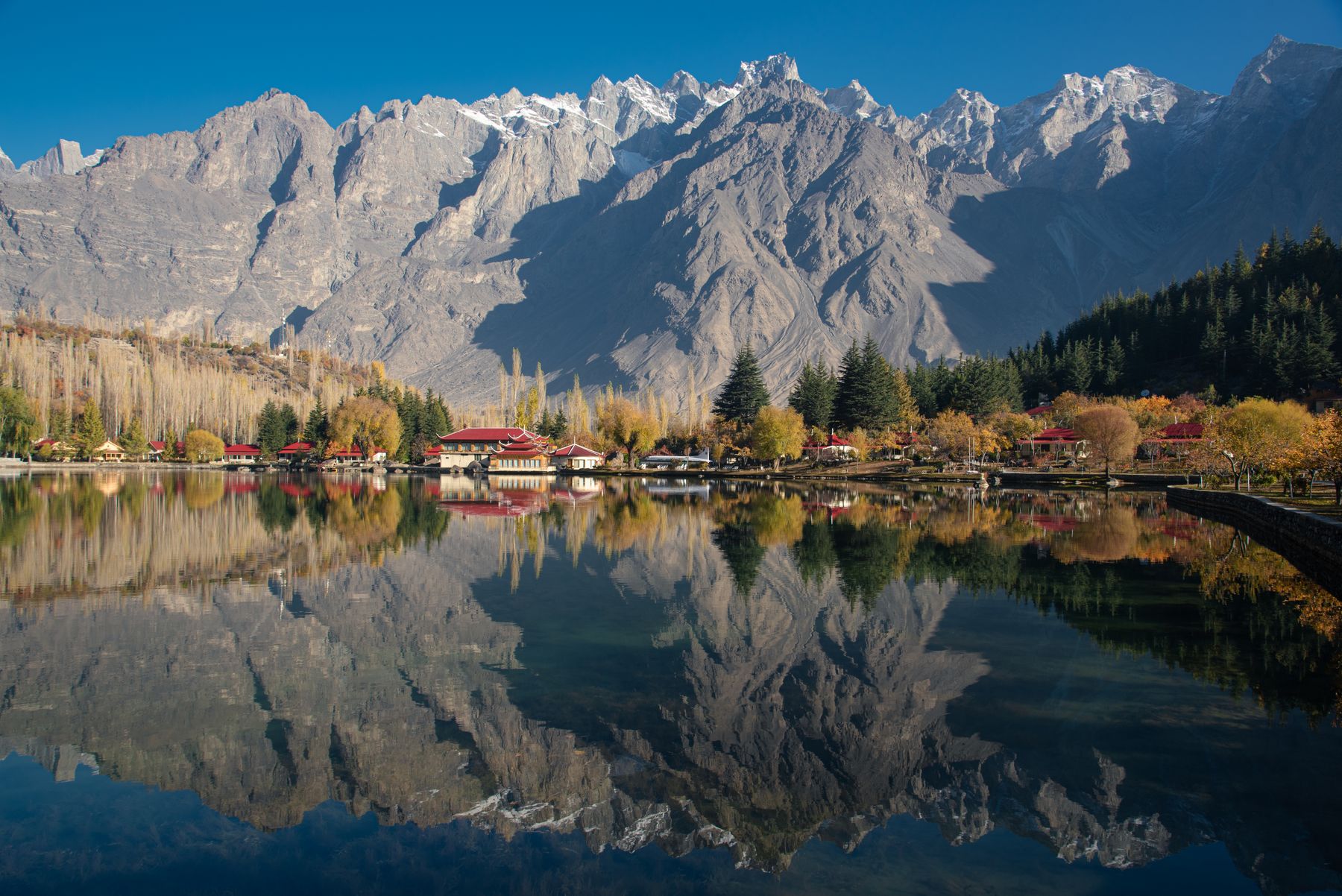
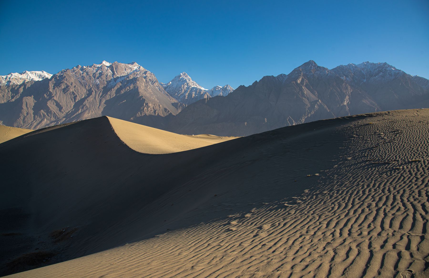
The Kachura lakes lie north of town. Upper Kachura is smaller and quieter, reached by a rough road. Lower Kachura, often called Shangrila, is closer and has a garden. Both are cold and clear, set against bare slopes. The Katpana desert, a patch of sand dunes near the airport road, is another short trip from the centre.
Around the bazaar
The bazaar is the place to see everyday life in Skardu. Shops sell dried fruit, cloth, hardware and trekking food. There are a few simple restaurants and bakeries. The polo ground and the main mosque are nearby. Walking the side streets gives a sense of the town's layout and its mix of Balti and Pakistani goods.
A day or two there
With one day, start at the fort in the morning, then walk down through the bazaar. In the afternoon, take a vehicle to the Kachura lakes or the Katpana dunes. The light is better for photographs later in the day. Allow time to arrange transport for the next stage of the trip.
With two days, add a half-day trip to Shigar, about 30 km east. The road follows the Shigar river through a gorge. Shigar has a fort, an old mosque and a bazaar. On the way back, stop at the cold desert or at a viewpoint over the Indus. A second day also allows a slower look at Skardu itself.
Side trips
Khaplu lies further east along the Shyok river, a long day trip or an overnight stay. The Deosai plateau, south of Skardu, is a full-day excursion in summer. Ask locally about road conditions before setting out, as the Deosai road is rough and weather-dependent.
Getting there and around
Skardu has a small airport with flights from Islamabad, weather permitting. Flights are often cancelled or delayed, so allow flexibility. By road, the journey from Gilgit takes several hours along the Indus, via the junction at Jaglot. The Karakoram Highway connects Gilgit to the rest of Pakistan. From Skardu, roads lead east to Shigar and Khaplu, and south to the Deosai plateau.
Within Skardu, local transport includes taxis, shared vans and auto-rickshaws. Fares are negotiated or fixed by route. For the lakes and Shigar, hire a vehicle with a driver. The bazaar is walkable, but the fort and the lakes need transport. Roads to the lakes are rough in places.
Permits and advice
Some areas near the Line of Control and certain border districts require a No Objection Certificate (NOC). Rules change, so check current official advice before travelling. For the Deosai plateau and the valleys towards Askole, ask locally about any permit needed. Travel advisories can apply to parts of Balochistan and border regions.
Practical notes
Skardu has a range of accommodation, from simple guest houses to larger hotels. Book ahead in summer, when domestic tourism peaks. The bazaar has basic supplies and some trekking equipment. There are banks and a hospital, but services are limited compared with larger cities. Mobile coverage is reasonable in town but patchy in the valleys.
The altitude of about 2,228 m is not extreme, but take the first day slowly. Drink water and avoid overexertion. The sun is strong, so use sun protection. Evenings are cool even in summer. In winter, snow can close roads and the airport, so plan accordingly.
Health and safety
Travel insurance should cover trekking and evacuation if you plan to go into the mountains. Pharmacies in Skardu stock basic medicines. For serious issues, evacuation to Islamabad may be needed. Check the current security situation and road conditions before travelling to remote areas.
Frequently asked questions
What is the altitude of Skardu?
Skardu sits at about 2,228 m above sea level. This is high enough that some visitors feel the altitude on arrival, but it is lower than the surrounding valleys and peaks. Take the first day gently and drink plenty of water.
How do you get to Skardu?
Skardu can be reached by air from Islamabad, with flights subject to weather, or by road from Gilgit along the Indus valley. The road journey takes several hours. From Skardu, roads continue to Shigar, Khaplu and the Deosai plateau.
When is the best time to visit Skardu?
The best months are from April to October. Spring brings blossom, summer is warm and dry, and autumn is clear. Winter is cold, with snow possible in town. The Deosai plateau is usually open only from late June to September.
What are the main sights in Skardu?
Skardu Fort, also called Kharpocho, stands above the town. The Kachura lakes, Upper and Lower, lie north of Skardu. The Katpana desert is a short drive away. The bazaar is the centre of local life. Shigar, about 30 km east, makes a half-day trip.