 Photo:
Visiting Astore
What it is like
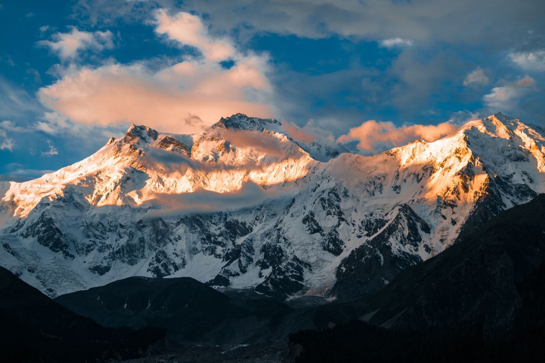
Astore is a broad, green valley rather than a single sight. The town is a working administrative centre with a small bazaar, a hospital and government offices. Around it, villages sit among terraced fields of wheat, maize and potatoes, with apricot and walnut trees near the houses. The river runs through the middle, fed by snowmelt from the Deosai plateau and the peaks to the east.
The valley is lower and softer than the Karakoram valleys to the north. Summers are mild, with daytime temperatures comfortable and nights cool. Winters bring heavy snow, and side roads and high tracks close. Spring and autumn are short. The local population is mostly Shina-speaking, with small communities of other groups, and the area is known for its potato crop and its summer pastures.
Weather and seasons
June to September is the reliable window. July and August are warmest, with the most traffic on the Deosai track. May and October are shoulder months, when snow can still block side valleys or the plateau. From November to April the valley is cold and quiet, and some roads are closed by snow.
What to see
The main draws are the valley itself and the approaches to Deosai. The road up from the Indus climbs through pine forest and past small settlements, with side valleys branching off towards Rama and Minimarg. In summer, the meadows above the villages are used for grazing and are open to walkers.
Astore town has a small bazaar and the remains of an old fort site. The riverbanks and side streams make easy short walks. Birdlife is varied in the lower valley, and the higher slopes hold ibex and other mountain animals, though sightings are not guaranteed.
Deosai from the west
The track from Astore to Deosai is rough and only passable in summer. It climbs through Minimarg and open meadow country before reaching the plateau. Conditions change quickly, and the track can be muddy after rain. Travel with a local driver who knows the route, and check conditions before setting out.
A day or two there
A day in Astore town is enough to see the bazaar, walk to the river and take a short trip up one of the side valleys. With two days, the Deosai approach becomes possible in summer, though the round trip is long and best started early.
A slower plan is to base in the valley for two nights and use one day for a walk above a village and another for the drive towards Rama or Minimarg. This suits travellers who prefer quiet roads and short walks to long drives.
A short walking plan
Walk from the town towards the river, follow the bank for an hour or so, then return through the fields. In summer, ask locally about paths above the villages. Carry water, sun protection and a layer for the afternoon, as the weather can turn.
Getting there and around
Astore is reached by road from Gilgit, turning off the Karakoram Highway near Jaglot and following the Astore River up the valley. The drive takes a few hours depending on road conditions. Shared transport and local vans run on the route, and private vehicles can be hired in Gilgit.
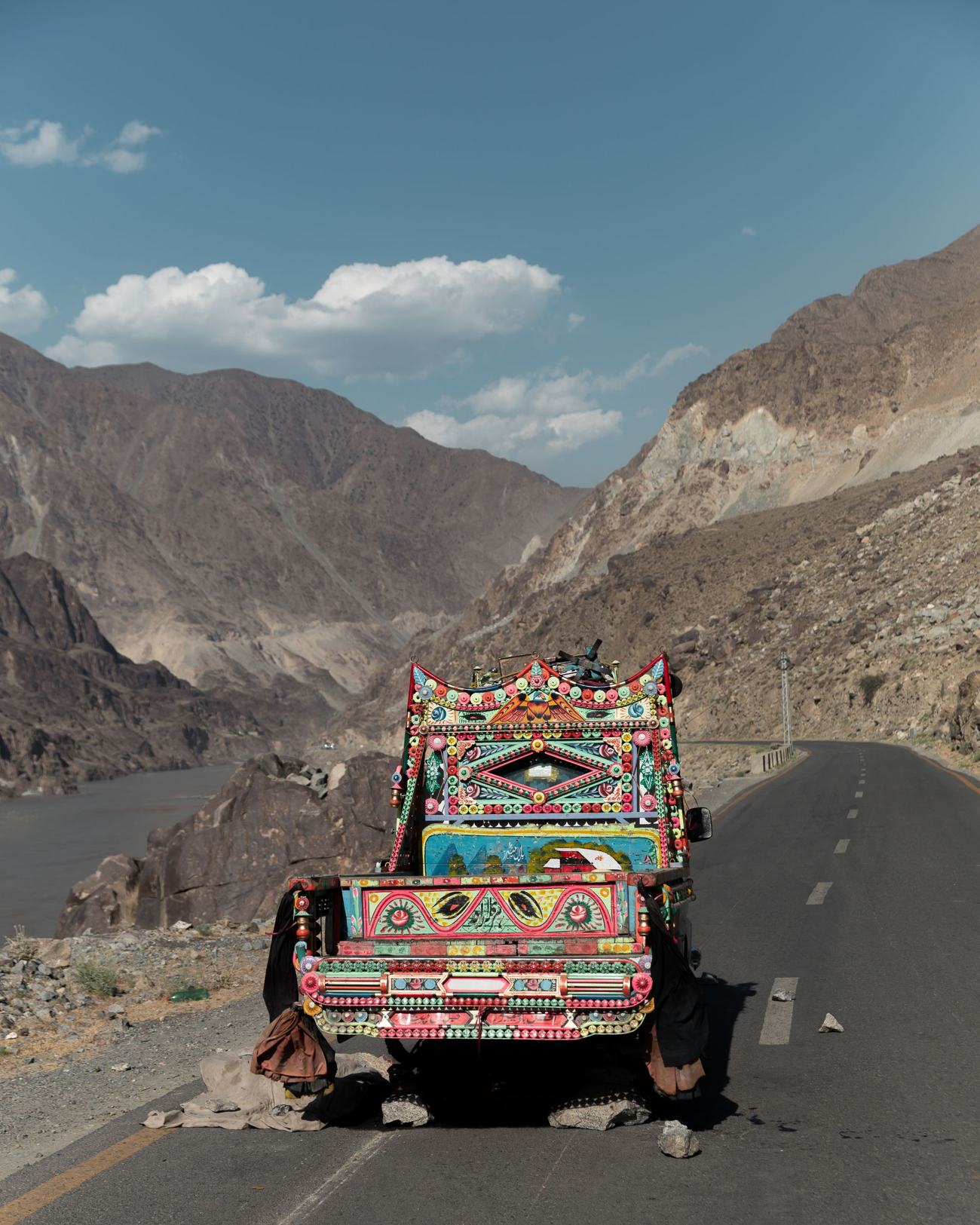
Within the valley, local transport links the main villages, but services are limited and timings vary. A private vehicle with a driver is the most flexible way to reach side valleys and the Deosai track. Roads are narrow in places and can be affected by landslides in the monsoon months.
Permits and advice
Some areas beyond Astore, including parts of the Deosai approach and districts near the administrative boundary, can require a No Objection Certificate or have travel advisories. Rules change, so check current official advice before travelling and carry identification.
Practical notes
Accommodation in Astore is simple, with a small number of guesthouses and basic hotels in the town and villages. Book ahead in summer, when workers and travellers pass through. Electricity can be intermittent, and heating in winter is limited. Mobile coverage is patchy outside the main town.
Cash is useful, as card payment is rare. There are basic shops and a small health facility in the town. The valley is conservative, so dress modestly. Travel insurance that covers trekking and mountain roads is sensible. For Deosai and side valleys, go with a local guide or driver and leave plans with your accommodation.
Health and altitude
At about 2,600 m, altitude is moderate, but the Deosai plateau is higher and some people feel the effects. Ascend gradually, drink water and avoid strenuous activity on the first day. The nearest larger hospitals are in Gilgit.
Frequently asked questions
Where is Astore in Pakistan?
Astore is a town and valley in the west of Gilgit-Baltistan, reached by road from Gilgit via a turn-off near Jaglot. The town sits at about 2,600 m on the Astore River, which flows down towards the Indus. The valley lies west of the Deosai plateau.
When is the best time to visit Astore?
June to September is the most reliable period, when the valley is green and the Deosai track is usually open. July and August are warmest. May and October are shoulder months with a chance of snow on high ground. Winter is cold and some roads close.
Can you reach Deosai from Astore?
Yes, in summer. A rough track climbs from Astore through Minimarg towards the Deosai plateau. It is only passable in the warmer months and can be muddy after rain. A local driver who knows the route is advisable, and conditions should be checked before setting out.
Do you need a permit for Astore?
Astore town and the main valley generally do not require a permit. Some areas beyond the valley, including parts of the Deosai approach and districts near administrative boundaries, can require a No Objection Certificate or have travel advisories. Rules change, so check current official advice before travelling.