 Photo:
Visiting Quetta
What Quetta is like
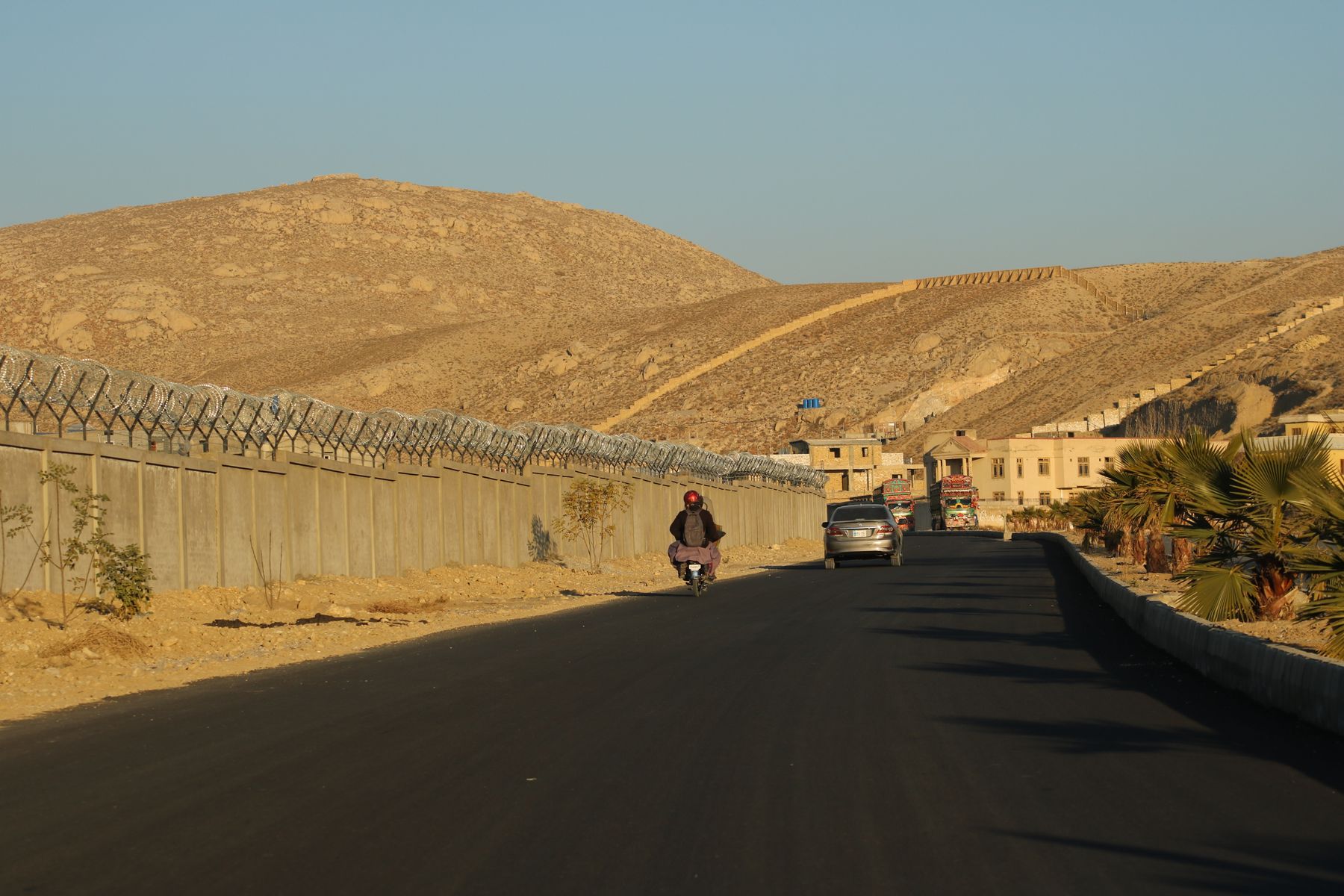
Quetta is the capital of Balochistan and the largest city in the province. It sits in a high valley at about 1,680 metres, surrounded by dry, rocky ranges. The air is cleaner and the summers cooler than in the Indus plains, which made the city a summer retreat in the colonial period. Winters bring cold nights and occasional snow on the surrounding hills.
The population is mixed, with Pashtun and Baloch communities prominent alongside others from across Pakistan. Pashto and Balochi are widely spoken, with Urdu and English also used. The city has a long military and administrative presence, and some areas are restricted. The centre is busy and commercial, with bazaars and markets that serve the whole province.
Climate and seasons
Spring and autumn are the most comfortable times. Summer days are warm but rarely extreme, and the monsoon has little effect here. Winter is cold, with frost at night and snow possible on the passes. Dust storms can occur in the dry months.
What to see
The bazaars are the main draw in the centre. Quetta Bazaar and the surrounding lanes sell dried fruit, particularly apples and apricots, as well as carpets, fabric and household goods. The covered sections are busy and atmospheric. Nearby, the Quetta Museum holds archaeological and ethnographic collections that explain the region's history and cultures.
Outside the city, Hanna Lake sits in a valley about 10 km east and is a common short trip. The road continues to Urak, an orchard valley about 20 km from the centre. To the south-west, Hazarganji Chiltan National Park protects mountain habitat and wildlife, including markhor. Further afield, Ziarat is known for its juniper forest and is a separate trip.
Around the valley
The Hanna valley and Urak are easy half-day trips from the city. The road to Ziarat climbs through hills and takes a few hours. Hazarganji Chiltan needs more time and a vehicle, and it is wise to ask locally about access before setting out.
A day or two there
A day in Quetta can start with the bazaars in the morning, when the lanes are busy but not yet crowded. Move on to the museum for an hour or two, then take a late lunch. In the afternoon, a drive to Hanna Lake gives a break from the city and a view of the surrounding hills. The lake is a short drive from the centre.
With a second day, head out to Urak Valley in the morning, when the orchards and fields are at their best. In the afternoon, return to the city and visit the parts of the bazaar missed on the first day. If wildlife is the aim, Hazarganji Chiltan National Park can fill a half day, but arrange transport and check access in advance.
Getting there and around
Quetta has an airport with flights to other Pakistani cities, including Karachi and Islamabad. By road, the main route from the south is the highway from Karachi through Lasbela and Khuzdar, a long drive of many hours. From the north, roads connect through Zhob and other districts. Bus services run from several cities, but journey times are long and road conditions vary.
Within the city, taxis and local transport are the usual way to get around. Walking is practical in the central bazaar area during the day. For trips to Hanna Lake, Urak or Hazarganji Chiltan, hire a vehicle with a driver. Roads outside the city can be rough, and some areas may require permits or have travel advisories. Check current official advice before travelling.
Permits and advice
Parts of Balochistan, including some districts around Quetta, can require a No Objection Certificate (NOC) for travel. Rules change, so check with the relevant authorities before setting out. Travel advisories may also apply, and it is sensible to follow local guidance.
Practical notes
The altitude is moderate, but the dry air and cold nights in winter are worth preparing for. Summers are mild, but the sun is strong at this height. Bring layers, especially outside the city. The bazaars are generally safe during the day, but keep valuables secure in crowded areas.
Mobile coverage is good in the city and along main roads, but can be patchy in the mountains. ATMs are available in the centre. English is understood in hotels and offices, though Pashto, Balochi and Urdu are more common in the bazaars. The city is conservative, so dress modestly. Alcohol is not widely available.
Frequently asked questions
What is the altitude of Quetta?
Quetta sits at about 1,680 metres above sea level, in a valley surrounded by dry mountains. This gives the city cooler summers than the plains and cold winters, with occasional snow on the surrounding hills.
When is the best time to visit Quetta?
April to May and September to October are the most comfortable months, with mild days and cool nights. Summer is warm but not extreme, while winter is cold and can bring frost and snow on higher ground.
How do you get to Quetta?
Quetta has an airport with flights to Karachi, Islamabad and other cities. By road, the main route from the south is the highway from Karachi through Lasbela and Khuzdar, a long drive. Bus services also run from several cities.
Do you need a permit to visit Quetta?
Parts of Balochistan can require a No Objection Certificate (NOC) for travel, and rules change. Check current official advice before going. Travel advisories may apply to some districts, so follow local guidance and plan accordingly.