 Photo:

A travel guide to Balochistan
This guide covers the main routes through Balochistan: the Makran coastal highway from Karachi to Gwadar, the interior road through Khuzdar to Quetta, and the hills around Ziarat. It also sets out when to go, how to move between places, and what to expect on permits, cash and mobile signal.
Where Balochistan is
Balochistan is Pakistan's largest province by area and its least populated. It runs from the Arabian Sea coast in the south to the Afghan border in the north. Quetta, the capital, sits in a valley at around 1,700 metres and is the main gateway for the interior. Gwadar, on the coast, is roughly 600 km west of Karachi along the Makran coastal highway.
The province has three broad zones for travel. The coast, from Kund Malir and Ormara to Gwadar, is dry and warm for most of the year. The interior, including Khuzdar and the road north to Quetta, is mountainous and cold in winter. The highlands around Quetta and Ziarat are cooler still, with snow in January and February.
Best time to visit
November to March is the most comfortable period for most of Balochistan. Coastal days are mild and the interior is cool. Quetta and Ziarat can be cold in December and January, with frost at night and snow on the higher ground. The coast is warm but bearable, and the light is clear.
April to October brings heat to the coast and the interior. The Makran coast is hot and humid in summer, and Quetta is more pleasant than the plains but still warm in June. Travel in the interior is better in spring and autumn. The coastal road is open all year, but summer driving is tiring.
Getting there
Most visitors reach Balochistan by air or by road from Karachi. Quetta and Gwadar have airports with scheduled flights from Karachi and other cities. The N-25 road runs from Karachi through Khuzdar to Quetta, a long drive of around 700 km. The Makran coastal highway runs west from Karachi to Gwadar, a distance of about 650 km.
From Quetta, roads run north to Chaman and the Afghan border, and east to Sibi and the Indus plain. The coastal route from Karachi passes Kund Malir, Hingol and Ormara before reaching Gwadar. Bus services run on the main routes, but schedules can be long and road conditions vary. Check current road conditions before setting out.
The Makran coast
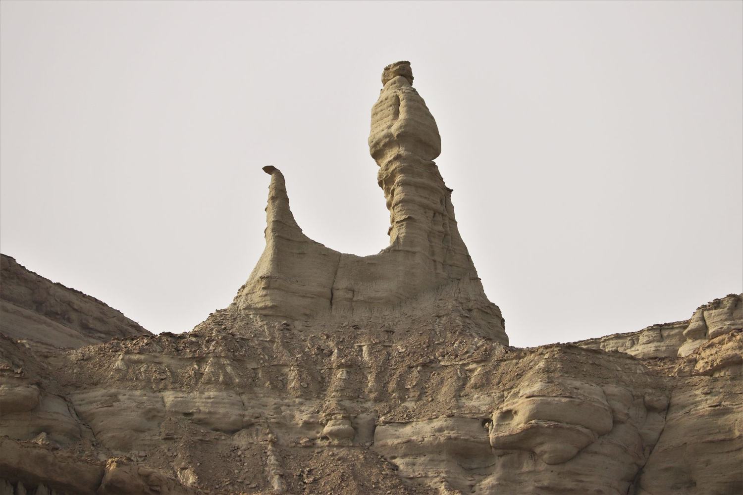
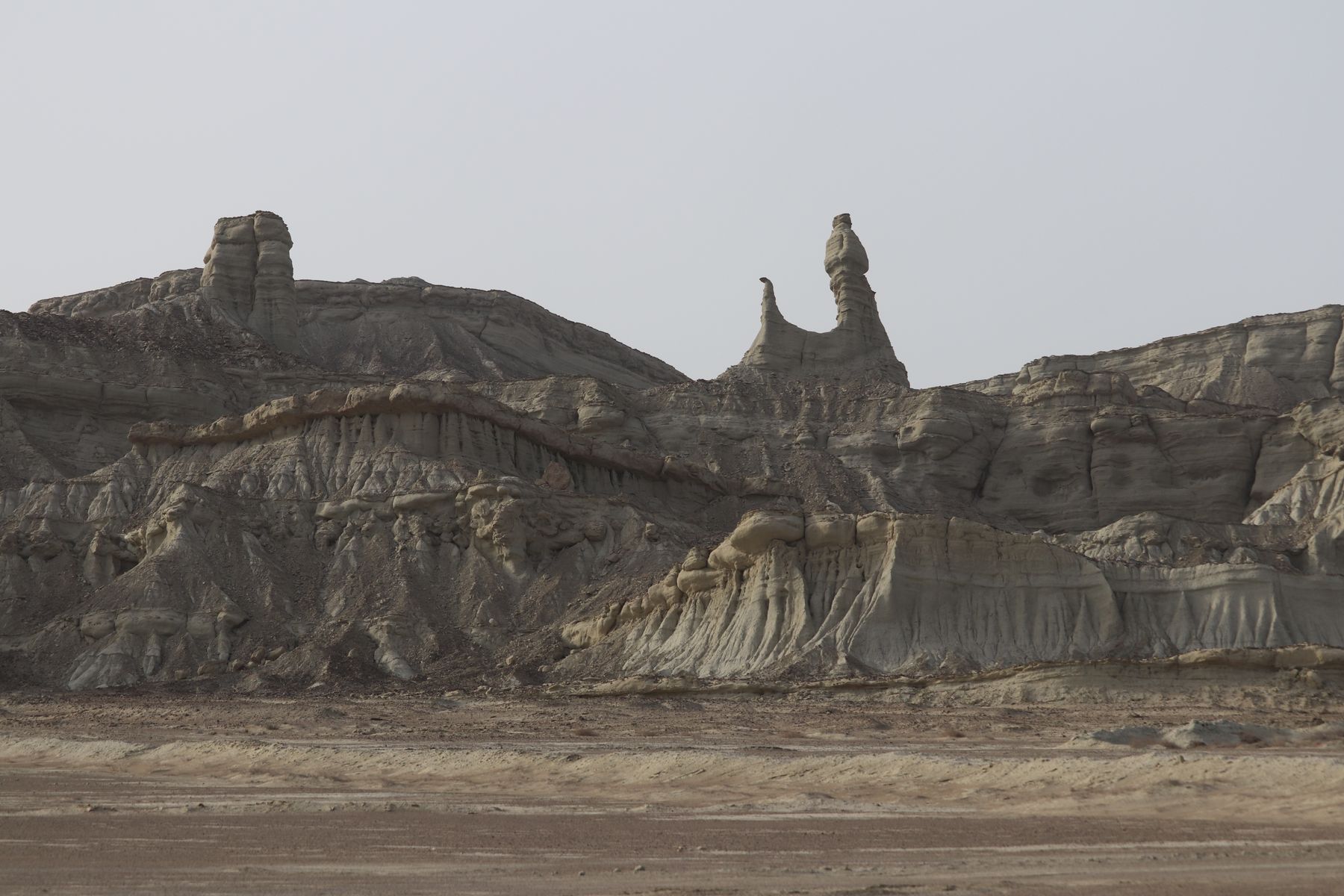
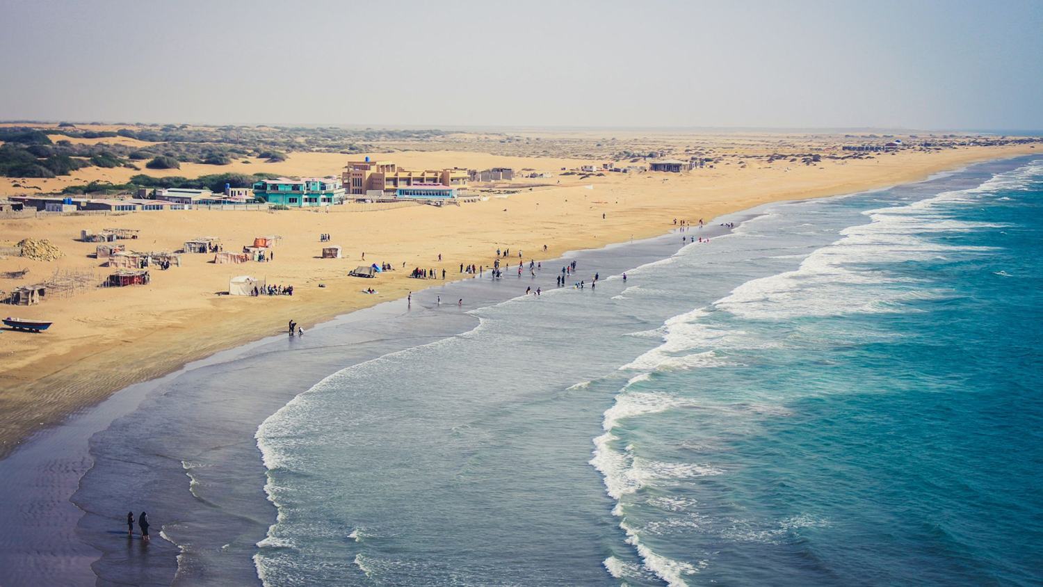
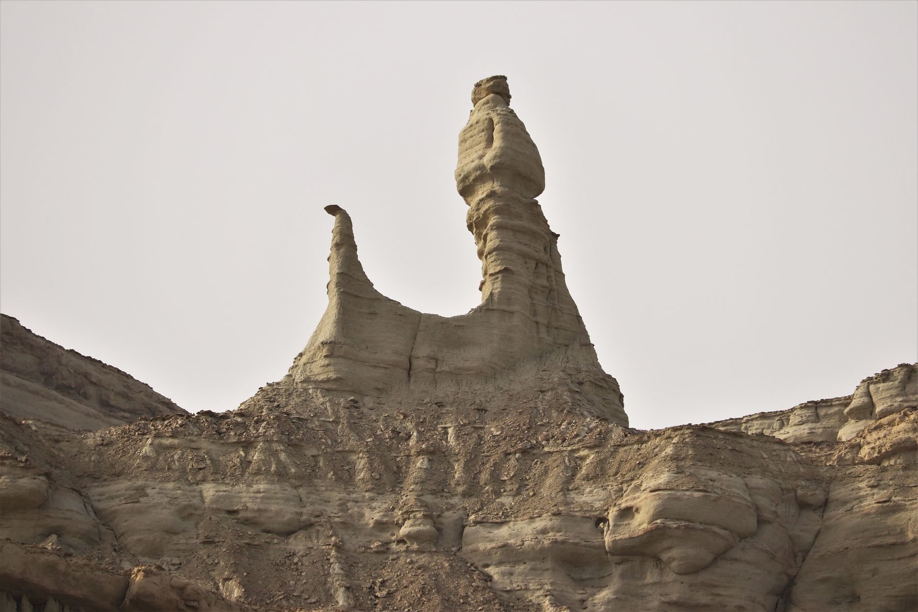
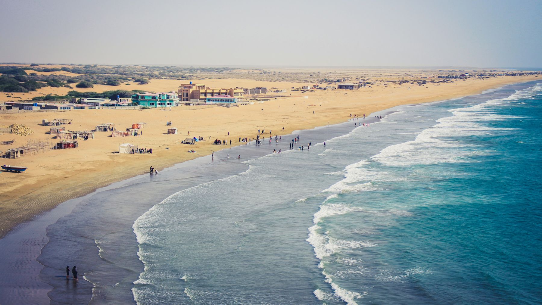
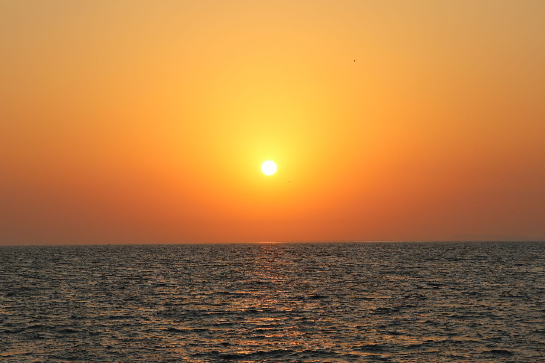
The Makran coastal highway follows the Arabian Sea from Karachi west to Gwadar. The first stretch passes Kund Malir, where a long beach and shallow water sit below bare hills. Further west, the Hingol National Park covers a large area of desert, riverbed and rock. The rock formations near the Hingol river include the area known as the Princess of Hope, a weathered pillar of stone.
Ormara is a small port about halfway along the coast, with a bay and a headland. Gwadar, at the western end, is a deep-water port with a fish harbour and a growing town. The coast is dry and sparsely settled. Fuel and food are available at intervals, but the gaps between them are long.
Hingol National Park
Hingol National Park is the largest national park in Pakistan, covering desert, river valley and coastal hills. The Hingol river flows through it for part of the year. The park is known for its rock formations, including the Princess of Hope and the Sphinx-like outcrop nearby. Wildlife includes ibex and urial. Access is from the coastal highway.
Quetta and the interior
Quetta is the capital and the main city of Balochistan. It sits in a valley ringed by hills and is known for its fruit, including apples and apricots, and for the bazaars in the old town. The city has a museum and a number of parks. The road from Karachi through Khuzdar climbs steadily to the plateau, passing through dry mountains and small towns.
Khuzdar is a market town on the N-25, roughly halfway between Karachi and Quetta. It is a useful stop on the long drive. North of Quetta, the road to Chaman runs along the Afghan border. The Toba Kakar range lies to the north-west. These areas are remote and travel should be planned with current local advice.
Ziarat and the hills
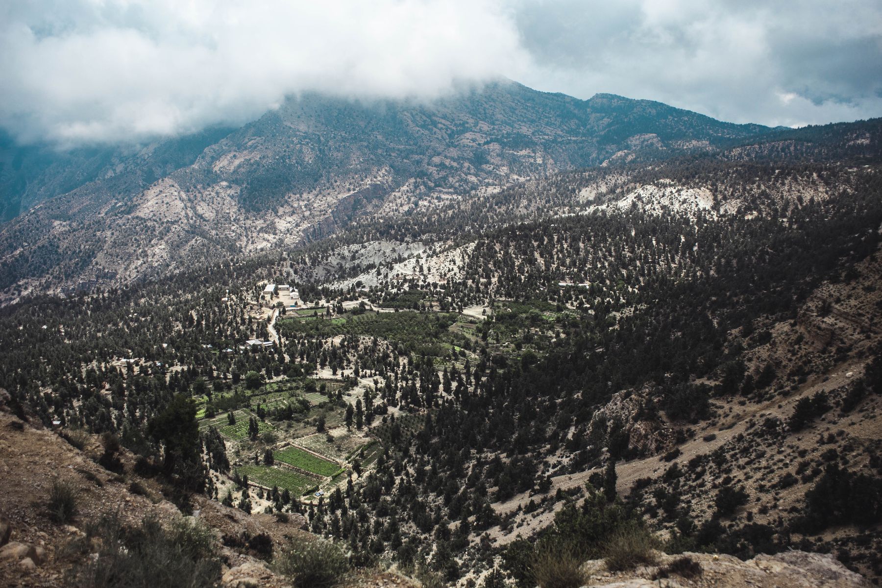
Ziarat is a hill station about 130 km from Quetta, at around 2,400 metres. It is known for its juniper forest, which is among the oldest in the world, and for the house where Muhammad Ali Jinnah stayed in 1948. The house is now a museum. The surrounding hills are good for short walks, and the air is cool in summer.
The road from Quetta to Ziarat passes through valleys and orchards. In winter, snow can fall and the road may be affected. Spring and autumn are the best seasons for the hills. Ziarat is a common day trip from Quetta, and there are places to stay in the town.
Getting around
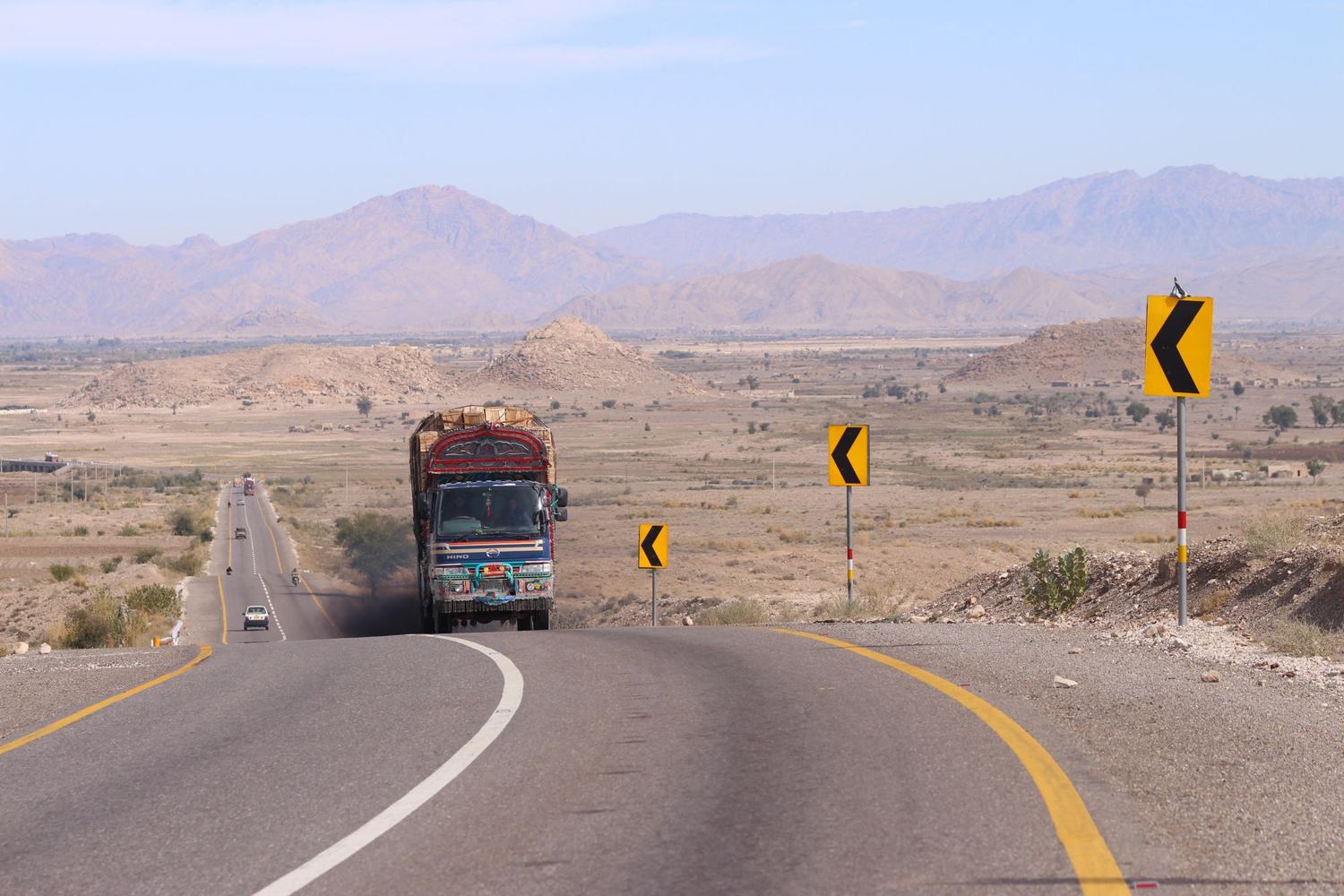
Distances in Balochistan are long and public transport is limited. The main roads are the N-25 from Karachi to Quetta and the Makran coastal highway from Karachi to Gwadar. Buses and minibuses run on these routes, but services can be infrequent and schedules change. For the coast, a private vehicle with a driver is the usual way to travel.
Fuel stations are spaced out, especially on the coastal road. Carry water and supplies for the stretches between towns. Mobile signal is patchy outside the main towns. In the interior, roads can be affected by weather and by local conditions. Check the route before leaving and allow more time than a map suggests.
Practical matters
Some areas of Balochistan require a No Objection Certificate (NOC) or have travel advisories. Rules change and can apply to particular districts or roads. Check current official advice before travelling and allow time to arrange any permit. The coastal highway and the main routes to Quetta are commonly travelled, but conditions vary.
Cash is needed for most transactions outside the main cities. ATMs are found in Quetta and Gwadar but are scarce elsewhere. Mobile signal is strongest in towns and along the main highways. Travel in remote areas is best done with local advice and in daylight. Keep documents to hand at checkpoints.
Food and customs
Balochi food is based on meat, rice and bread. Sajji, a whole roast chicken or lamb, is common, as is kaak, a hard bread baked in a stone oven. In Quetta, the bazaars sell dried fruit and nuts. Tea is served everywhere. Alcohol is not generally available.
Customs are conservative, especially in rural areas. Dress modestly, covering arms and legs, and ask before taking photographs of people. Hospitality is important, and offers of tea are common. During Ramadan, eating and drinking in public during daylight hours is best avoided. Friday is the main day of prayer.
Suggested itineraries
A one-week coastal trip can start in Karachi and follow the Makran coastal highway to Gwadar, with stops at Kund Malir, Hingol and Ormara. Allow two days for the drive each way, with a day or two in Gwadar. This route is best from November to March.
A ten-day trip can combine the coast with the interior. From Gwadar, return east to Khuzdar and turn north on the N-25 to Quetta. Spend two days in Quetta and take a day trip to Ziarat. This route covers long distances and needs careful planning. Check permits and road conditions before setting out.
Frequently asked questions
What is the best time to visit Balochistan?
November to March is the most comfortable period for most of the province. Coastal days are mild and the interior is cool. Quetta and Ziarat can be cold in December and January, with snow on higher ground. Summer is hot on the coast and in the interior.
Do I need a permit to travel in Balochistan?
Some areas require a No Objection Certificate (NOC) or have travel advisories. Rules change and can apply to particular districts or roads. Check current official advice before travelling and allow time to arrange any permit. The main coastal highway and the route to Quetta are commonly travelled.
How do I get to Gwadar?
Gwadar has an airport with scheduled flights from Karachi and other cities. By road, the Makran coastal highway runs about 650 km west from Karachi, passing Kund Malir, Hingol and Ormara. The drive takes at least two days with stops. Check road conditions before setting out.
What is there to see in Hingol National Park?
Hingol National Park is the largest national park in Pakistan. It covers desert, river valley and coastal hills. The rock formations include the Princess of Hope and a Sphinx-like outcrop. Wildlife includes ibex and urial. Access is from the Makran coastal highway.
Is it safe to travel in Balochistan?
Travel conditions vary across the province. Some districts have travel advisories or permit requirements. The main coastal route and the road to Quetta are commonly travelled. Check current official advice before going, travel in daylight where possible and keep documents to hand at checkpoints.