 Photo:
Visiting Hingol
What the place is like
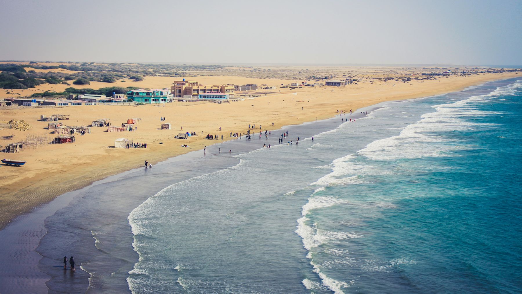
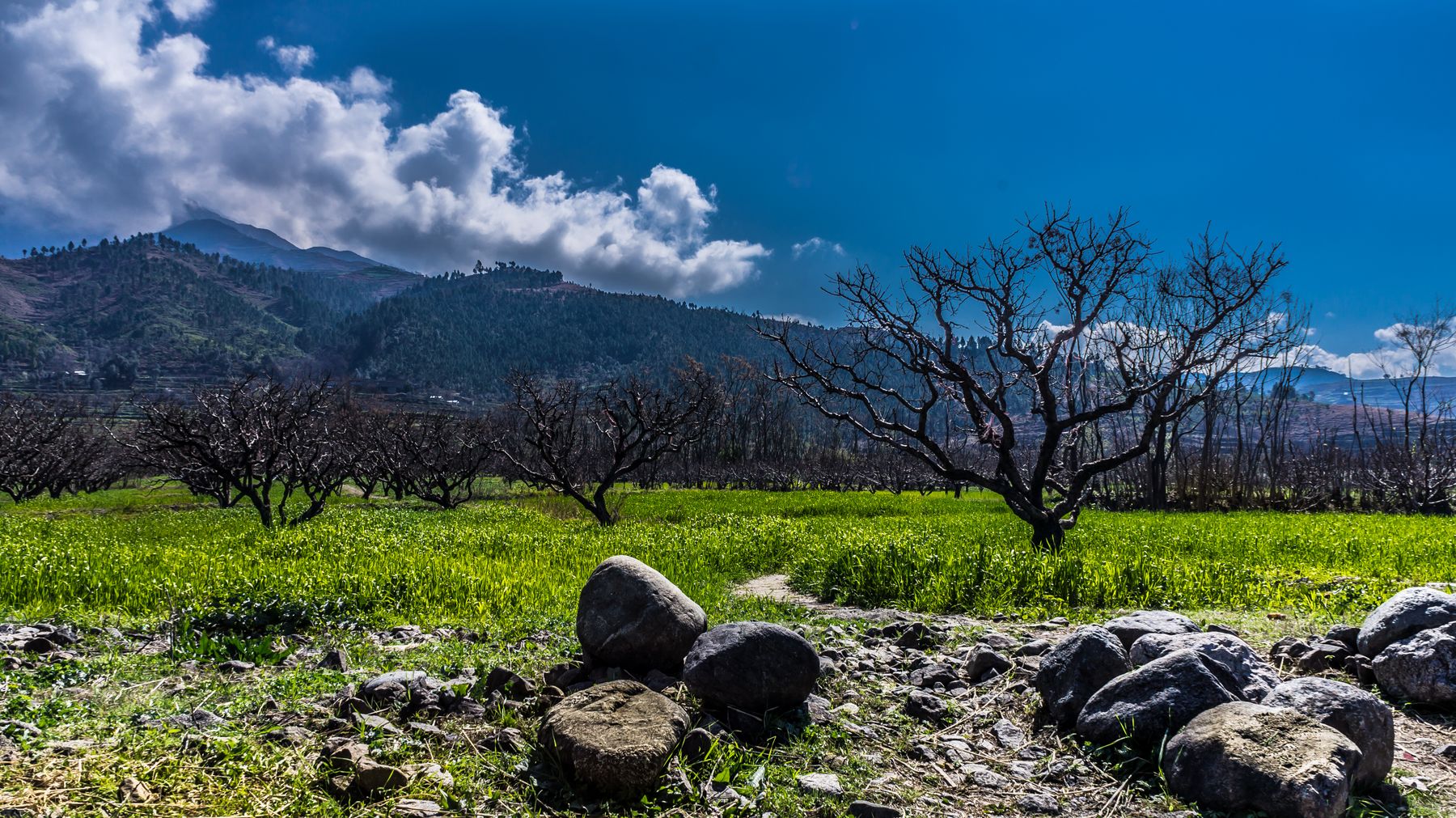
Hingol National Park lies in the Makran region of Balochistan, along the Arabian Sea coast. The park covers a large area of desert, rocky hills and river valleys. The Hingol River is the main source of fresh water and supports some trees and shrubs along its banks. Away from the river, the land is dry and bare, with scattered thorny vegetation.
The climate is hot and arid. Summers are very hot, with temperatures often above 40°C near the coast. Winters are milder, and this is the main season for visits. Rainfall is low and irregular, mostly falling in winter. The park is sparsely populated, with a few small settlements and nomadic herders moving through.
Landscape and geology
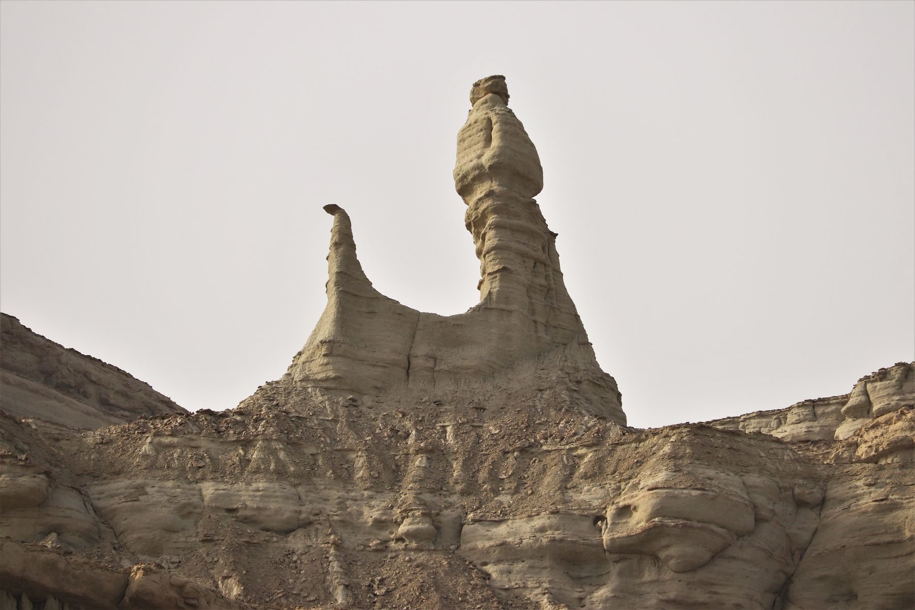
The park is known for its mud volcanoes, which are rare in Pakistan. These are small cones of mud that bubble up from underground and release gas. The surrounding hills are made of soft rock that has been eroded into shapes by wind and water. The Hingol River has cut a wide valley through the hills, and in places the riverbed is dry.
What to see
The mud volcanoes are the main attraction. They are located near the Hingol River, a short drive from the Makran Coastal Highway. The cones are small, usually less than a metre high, and the mud is cool to the touch. Gas bubbles can be seen breaking the surface. The site is not fenced and can be visited on foot.
The park's landscape offers other sights. The Hingol River valley has some pools and vegetation that attract birds. The coastal hills and rock formations along the highway are worth stopping for. Wildlife includes ibex, urial and chinkara, though they are shy and often seen at dawn or dusk. Birds of prey such as eagles and hawks are common.
Mud volcanoes
The mud volcanoes are a geological curiosity. They are formed when underground gas and water mix with mud and are pushed to the surface. The site is accessible by a rough track off the main highway. Visitors should stay on firm ground and avoid walking directly on the cones, which are soft.
A day or two there
A day trip from Ormara or Kund Malir is possible, but a night in the area allows more time. The park is large and driving between sights takes time. A simple plan is to arrive from the east, visit the mud volcanoes, and then continue west towards Kund Malir or Ormara for the night. Camping is possible but requires preparation and supplies.
With two days, you can explore the river valley and the coastal sections at a slower pace. Early morning and late afternoon are the best times for wildlife and for avoiding the heat. There are no facilities inside the park, so bring water, food and fuel. The nearest towns with services are Ormara to the east and Gwadar to the west.
Getting there and around
The park is crossed by the Makran Coastal Highway (N10), which runs between Karachi and Gwadar. The highway passes near the Hingol River and the mud volcanoes. Most visitors come by private vehicle or on organised tours from Karachi or Gwadar. The drive from Karachi takes several hours, and from Gwadar it is shorter. Public transport along the highway is limited.
Within the park, a private vehicle is essential. Roads are mostly unpaved tracks, and some areas may be inaccessible after rain. A four-wheel-drive vehicle is not always necessary but gives more flexibility. Fuel is available in Ormara and Gwadar, so fill up before entering the park.
Permits and access
Parts of Balochistan, including some coastal areas, may require a No Objection Certificate (NOC) for travel. Rules change, so check current official advice before setting out. Travel advisories may apply to certain districts. It is wise to travel with a local guide or in a convoy if unsure. Always carry identification.
Practical notes
There are no hotels, restaurants or shops inside the park. The nearest accommodation is in Ormara, Kund Malir and Gwadar. These towns have basic guest houses and restaurants. Camping is allowed but there are no designated sites or facilities. Bring all supplies, including drinking water, food and fuel.
The climate is harsh. Summers are extremely hot, and even in winter daytime temperatures can be high. Carry sun protection, a hat and plenty of water. Mobile phone coverage is patchy. The park is a protected area, so do not disturb wildlife or remove plants or rocks. Leave no litter.
Safety and health
The area is remote. There are no medical facilities inside the park. The nearest hospitals are in Ormara and Gwadar. Travel with a first-aid kit and a means of communication. Let someone know your itinerary. Avoid travelling alone in remote areas. Check the weather forecast before setting out, as flash floods can occur in the riverbed.
Frequently asked questions
What are the mud volcanoes at Hingol and can you visit them?
The mud volcanoes are small cones of grey mud that bubble and release gas. They are a rare geological feature in Pakistan. They can be visited on foot via a short detour from the Makran Coastal Highway. The site is not developed, so wear sturdy shoes and stay on firm ground.
When is the best time to visit Hingol?
The best months are November to February, when temperatures are milder. Summers are very hot, with temperatures often above 40°C near the coast. Winters are pleasant for exploring, though nights can be cool. Avoid the hottest months of May to August.
Do you need a permit to visit Hingol National Park?
Some areas of Balochistan, including parts of the coast, may require a No Objection Certificate (NOC). Rules change, so check current official advice before travelling. Travel advisories may apply to certain districts. It is advisable to travel with a local guide or in a group.
Where can you stay near Hingol?
There is no accommodation inside the park. The nearest options are in Ormara, Kund Malir and Gwadar, which have basic guest houses. Camping is possible but requires full self-sufficiency. Bring your own water, food and fuel, as there are no facilities in the park.