Attabad Lake, made by a landslide
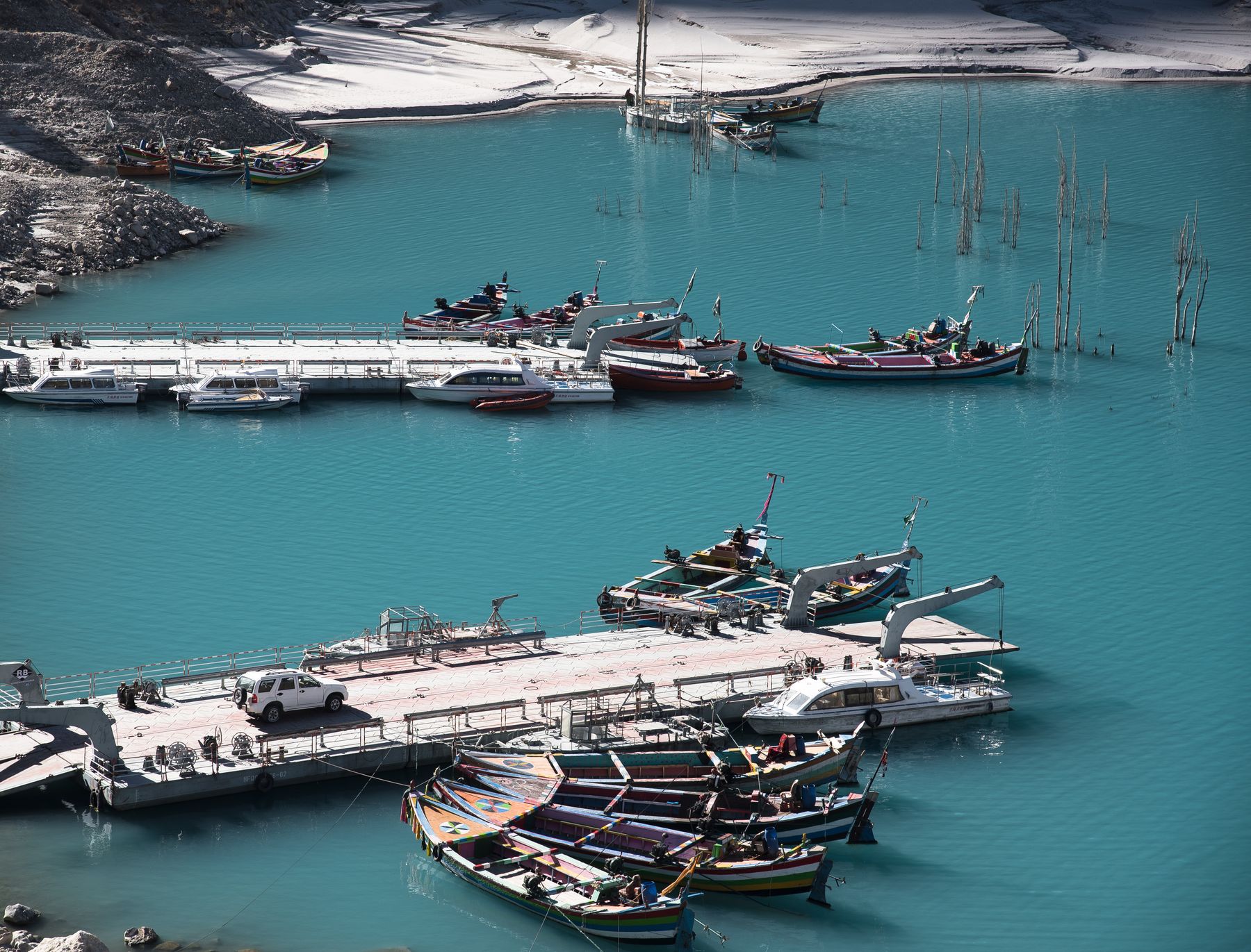
A landslide in 2010 dammed the Hunza River and created a deep blue lake. The water swallowed part of the Karakoram Highway, and a new road now skirts its edge.
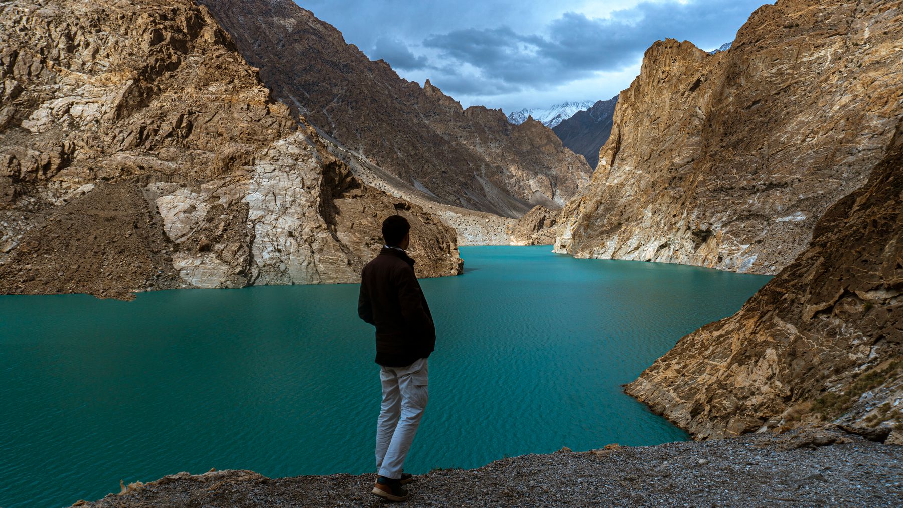 Photo: Arif Esapzai / Pexels
Attabad Lake lies in the Hunza Valley of Gilgit-Baltistan, close to the village of Passu. It did not exist before January 2010, when a massive landslide blocked the Hunza River. The water rose over several months, submerging parts of the old Karakoram Highway and several hamlets. Today the lake is a landmark on the route north.
How the lake was formed
In early January 2010 a slope above Attabad village collapsed, sending rock and debris across the Hunza River. The natural dam created a barrier more than a hundred metres high. Water backed up behind it, forming a lake that extended upstream for several kilometres. The rising water forced the evacuation of villages and cut the Karakoram Highway, the main road link to China.
Engineers later cut a spillway to control the water level, and the lake stabilised. The old road remains submerged in places, and a series of tunnels and a new alignment now carry traffic around the lake. The landslide and its aftermath are among the most documented natural events in the region, and the lake is a visible record of that event.
The lake is deep and cold, fed by glacial melt from the surrounding peaks. Its colour shifts with the light and the season, from turquoise in summer to a darker blue under cloud. The surrounding slopes are steep and unstable in places, a reminder of the forces that created the lake.
Where the lake sits
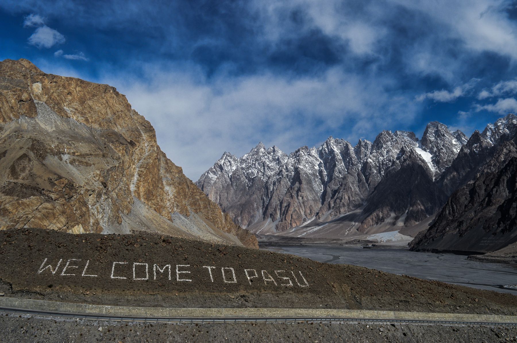
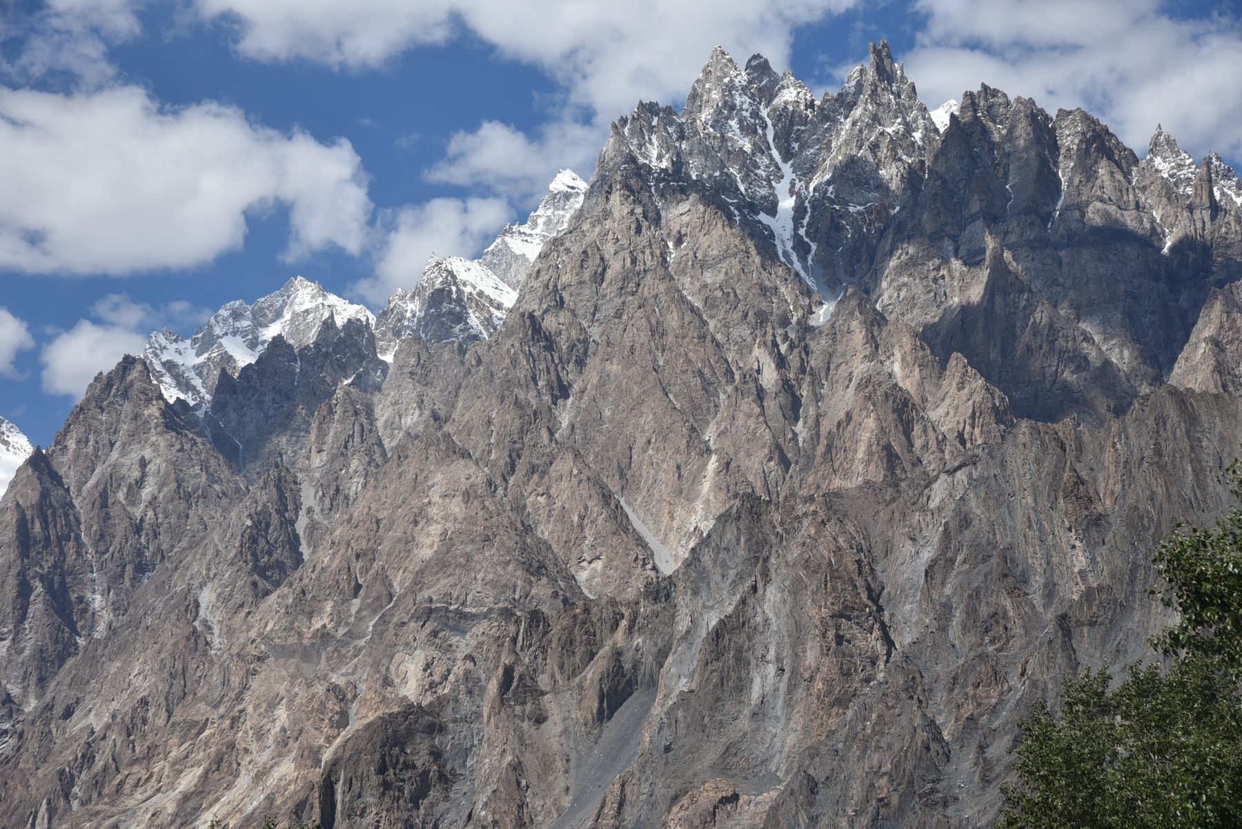
The lake stretches along the Hunza River between Attabad and the area near Passu. The Karakoram Highway follows its western shore through a series of tunnels. Passu is a small village with views of the Passu Cones, a row of sharp peaks, and the Batura Glacier lies further west. The lake is about 20 kilometres upstream from Karimabad, the main town of Hunza.
The road around the lake is part of the Karakoram Highway, which connects Pakistan to China through the Khunjerab Pass. The pass is usually open from late spring to autumn, and the lake is a common stop on the journey north. The lake itself has no outlet other than the controlled spillway, and its level is monitored.
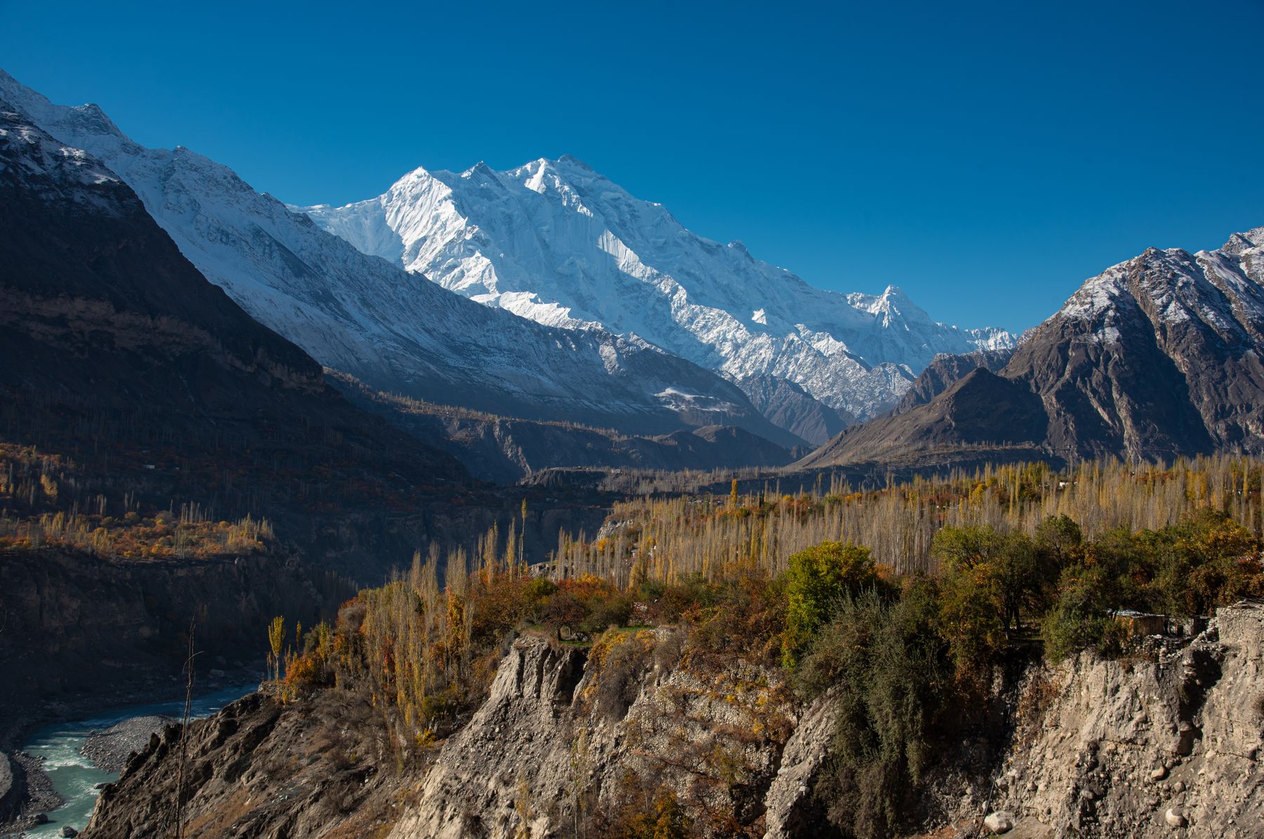
The surrounding terrain is high mountain desert, with sparse vegetation and rocky slopes. Apricot and poplar trees grow in the villages, and the lake provides a contrast to the dry hills. The area is part of the larger Hunza Valley, known for its orchards and views of the Rakaposhi and Ultar peaks.
پانی نے راستہ بدل لیاThe water changed the way. A local saying about how the lake reshaped the valley.
What to see and do
Visitors can stop at viewpoints along the Karakoram Highway to see the lake and the submerged remains of the old road. The water is clear and cold, and small boats operate on parts of the lake, though conditions can change. The nearby village of Passu offers views of the Passu Cones and access to short walks in the surrounding area.
The lake is a place for photography, with the contrast between the blue water and the barren slopes. The old Karakoram Highway can be seen disappearing into the water at some points. The tunnels along the new road are an engineering feature in themselves, and the route gives a sense of the scale of the landslide.
For those interested in the event, the lake is a case study in natural hazards and recovery. The local communities have adapted, and the road has been rebuilt. The lake is not a swimming spot, as the water is cold and the shores unstable in places. Visitors should respect barriers and local advice.
Tastes of the valley
Hunza is known for its apricots, which are eaten fresh in summer and dried for the winter. Apricot oil and kernels are used in local cooking. The valley also produces cherries, apples and mulberries. In season, these fruits appear in markets and are served in simple guesthouses.
Traditional Hunza cuisine includes chapshuro, a bread filled with meat and vegetables, and diram fitti, a sweet bread. Walnuts and almonds grow in the area, and local honey is available. Tea is often served with salt or milk, and green tea is common.
The food is hearty and suited to the mountain climate. Meals often include lentils, beans and flatbreads. Dairy products such as yogurt and butter are part of the daily diet. Visitors can find small eateries in Karimabad and along the highway, though choices are limited near the lake itself.
Planning a visit
The best time to visit is from late spring to early autumn, when the Karakoram Highway is usually clear and the Khunjerab Pass is open. Summer brings warmer days, but the lake can be windy. Spring and autumn are cooler, and winter may bring snow and road closures. The lake is at an altitude of about 2,400 metres, so acclimatisation is sensible.
Travel to the lake is by road from Gilgit or Karimabad. The journey from Karimabad takes about an hour, and from Gilgit longer. The road passes through the tunnels and along the lake shore. Public transport and private vehicles use the route, but schedules can vary. A fee may be charged at some viewpoints or for boat rides.
Some areas near the border and in parts of Gilgit-Baltistan may require a No Objection Certificate (NOC) or have travel advisories. Rules change, so check current official advice before travelling. The lake is a natural site with limited facilities, and visitors should carry supplies and take care on the unstable slopes.
Near the lake
- PassuA village with views of the Passu Cones and access to the lake's northern end.
- KarimabadThe main town of Hunza, about 20 kilometres from the lake, with markets and guesthouses.
- GilgitThe regional capital, a starting point for journeys to Hunza and the lake.
- Batura GlacierOne of the longest glaciers outside the polar regions, west of Passu.
Frequently asked questions
When was Attabad Lake formed?
Attabad Lake formed in January 2010 after a landslide blocked the Hunza River. The water rose over several months, submerging parts of the Karakoram Highway and nearby villages. The lake has since become a notable feature of the Hunza Valley.
Can you swim in Attabad Lake?
Swimming is not advisable. The water is cold, fed by glacial melt, and the shores can be unstable. Visitors should respect local advice and barriers. Small boats may operate on the lake, but conditions can change.
Do you need a permit to visit Attabad Lake?
Attabad Lake is on the Karakoram Highway and generally accessible without a special permit for foreign tourists. However, some areas near the border and in parts of Gilgit-Baltistan may require a No Objection Certificate (NOC). Rules change, so check current official advice before travelling.
Find a stay in Passu
Live prices and availability open in the IMPT app, in a new tab.