Building the Karakoram Highway
The Karakoram Highway took two decades to build through some of the world's highest mountains. Its story is written in the rock, the bridges and the towns along the route.
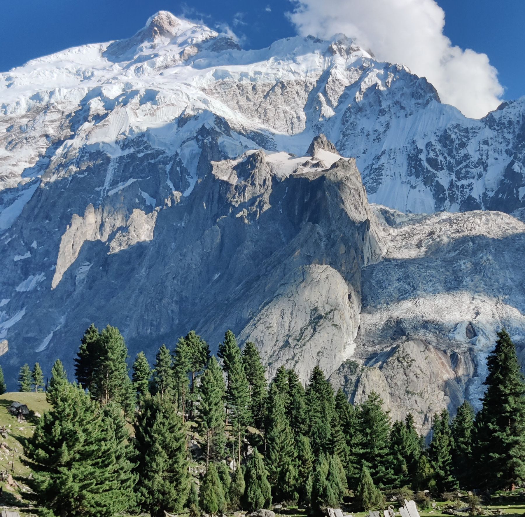 Photo: Shah Nawaz / Pexels
The Karakoram Highway runs from Hasan Abdal in Punjab to the Khunjerab Pass on the Chinese border, crossing the Karakoram range. Built between 1959 and 1979, it remains one of the highest paved roads in the world. For travellers, the highway is both a route and a history lesson, with traces of its construction visible in the valleys it passes through.
The route and its terrain
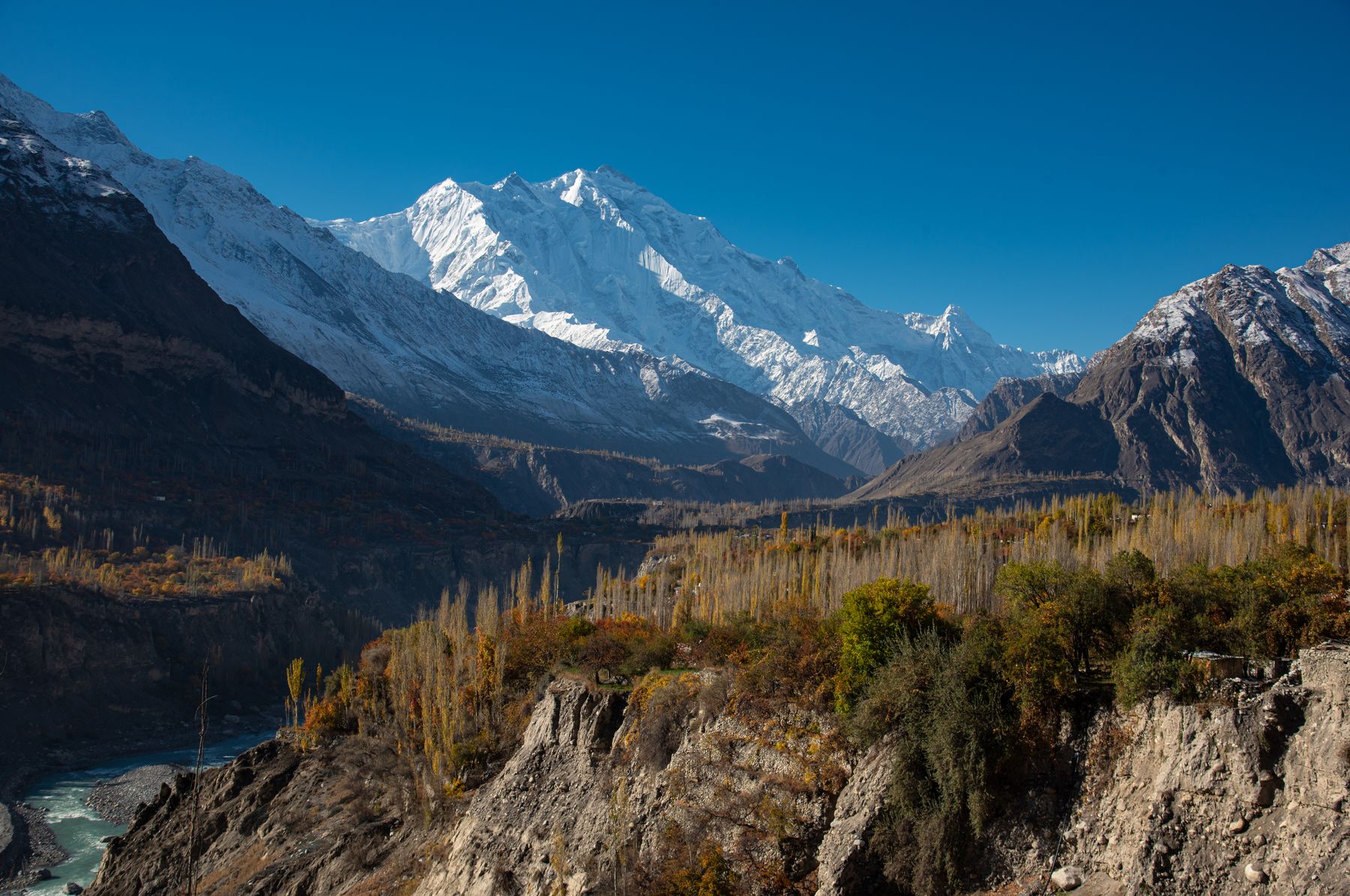
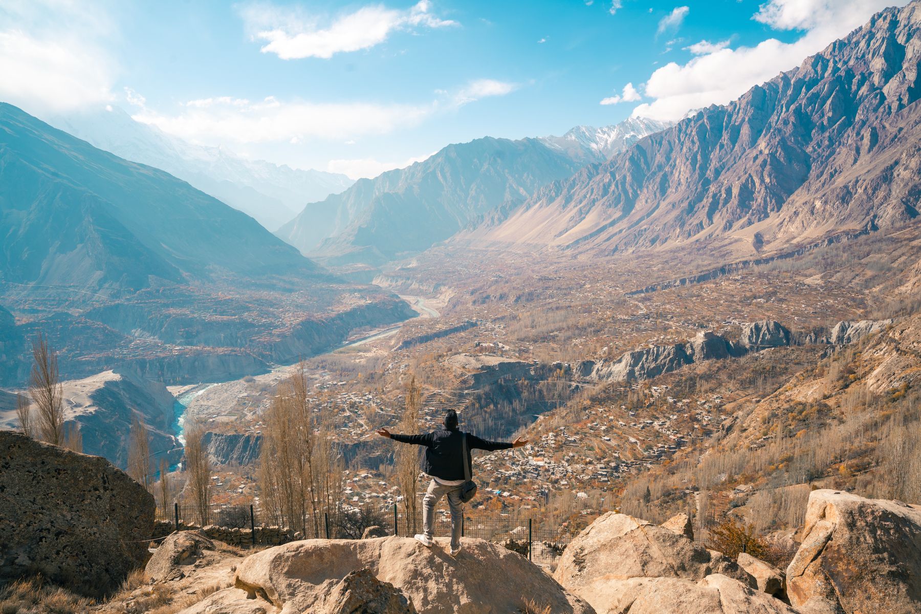
The highway follows the old Silk Road corridor through Gilgit-Baltistan, linking Pakistan to China's Xinjiang region. From the plains, it climbs through the Hindu Kush and Karakoram ranges, crossing the Khunjerab Pass at over 4,700 metres. The road passes through deep gorges, alongside glaciers and beneath peaks such as Nanga Parbat and Rakaposhi. The terrain is unstable, with rockfalls and landslides a constant challenge.
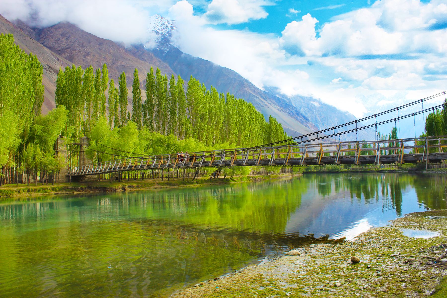
Construction required cutting into mountainsides, building bridges over rivers and tunnelling through rock. The route crosses the Indus, Gilgit and Hunza rivers, and passes through areas where winter snow and summer meltwater can damage the road. The highway is a feat of engineering in an environment that resists permanent infrastructure.
For the traveller, the route offers a cross-section of Pakistan's northern landscapes. The road is mostly two lanes, with sections that narrow to a single track. Travel is slow, and the journey from Islamabad to Gilgit can take a full day or more, depending on conditions.
A shared construction effort
The highway was built jointly by Pakistan and China, with Chinese engineers and workers providing much of the technical expertise and labour. The project was part of a broader agreement to improve connectivity between the two countries. Work began in the late 1950s and continued through the 1960s and 1970s, with the road officially opened in 1979.
The construction was dangerous. Workers faced altitude sickness, avalanches and rockfalls. Many lost their lives, and memorials along the route remember them. In Gilgit, a monument stands in memory of the Chinese workers who died during construction.
The highway was widened and improved in later years, but the original alignment remains. The project transformed access to Gilgit-Baltistan, reducing the isolation of communities that had previously relied on footpaths and animal transport.
شاہراہ قراقرمThe Karakoram Highway, known locally as the Karakoram Road.
Gilgit as a highway town
Gilgit sits at the junction of the Karakoram Highway and the road to Skardu. The town grew as a transport and administrative centre, and its bazaar reflects the mix of local and Chinese goods that moved along the road. The old bazaar area has shops selling dried fruit, textiles and household goods.
The town is a base for exploring the region. The Gilgit-Baltistan Legislative Assembly building and the nearby British-era cemetery are reminders of different periods. The Kargah Buddha, a rock-cut carving from the 7th century, is a short drive from town.
Food in Gilgit includes local apricot products, walnuts and breads baked in tandoor ovens. The bazaar is a place to buy dried apricots and mulberries, and to see the variety of goods that arrive via the highway.
What to see along the way
Travelling north from Gilgit, the highway passes through the Hunza valley. Here, the old watchtower of Baltit Fort and the nearby Altit Fort overlook the valley. The forts date back centuries and are open to visitors. The area is known for apricot orchards and terraced fields.
Further north, the road reaches Sust, a border town, and the Khunjerab Pass. The pass is open seasonally, usually from May to November, and is a popular excursion. The Khunjerab National Park, home to Marco Polo sheep and snow leopards, lies along the route.
South of Gilgit, the highway follows the Indus River towards Chilas. The area has rock carvings dating back thousands of years, some of which are visible from the road. The Chilas rock carvings are a reminder of the ancient routes that predated the modern highway.
Practical notes for the journey
The highway is generally open year-round, but landslides and snow can close sections in winter and during the monsoon. Check road conditions before travelling. The route passes through areas where a No Objection Certificate (NOC) may be required for foreign nationals; rules change, so check current official advice before going.
Accommodation is available in Gilgit, Hunza and other towns along the route. The journey requires planning, as distances are long and travel times unpredictable. Carry cash, as ATMs are limited outside major towns.
The best time to travel is from April to October, when the passes are open and the weather is milder. Spring brings blossom to the valleys, while autumn offers clear views of the peaks. Winter travel is possible but requires flexibility.
Where to see its traces
- GilgitThe highway town has a memorial to Chinese workers and a bazaar that reflects the road's trade.
- Hunza ValleyBaltit and Altit forts overlook the highway, with apricot orchards and terraced fields nearby.
- Khunjerab PassThe border crossing with China, open seasonally, marks the highway's highest point.
- ChilasRock carvings along the Indus date back thousands of years, visible from the road.
Frequently asked questions
When was the Karakoram Highway built?
Construction began in 1959 and the highway was officially opened in 1979. It was built jointly by Pakistan and China, and required cutting through some of the highest mountains in the world.
Do I need a permit to travel on the Karakoram Highway?
Some areas along the highway, especially near the border, may require a No Objection Certificate (NOC) for foreign nationals. Rules change, so check current official advice before travelling.
What can I see along the Karakoram Highway?
The route passes through Gilgit, Hunza and the Khunjerab Pass, with views of peaks such as Nanga Parbat and Rakaposhi. Rock carvings near Chilas and the forts of Hunza are among the cultural sights.
Find a stay in Gilgit
Live prices and availability open in the IMPT app, in a new tab.