Hunza’s old water channels
Hunza’s old water channels have carried glacial melt to the valley’s fields for centuries. They are still in use and can be followed on foot.
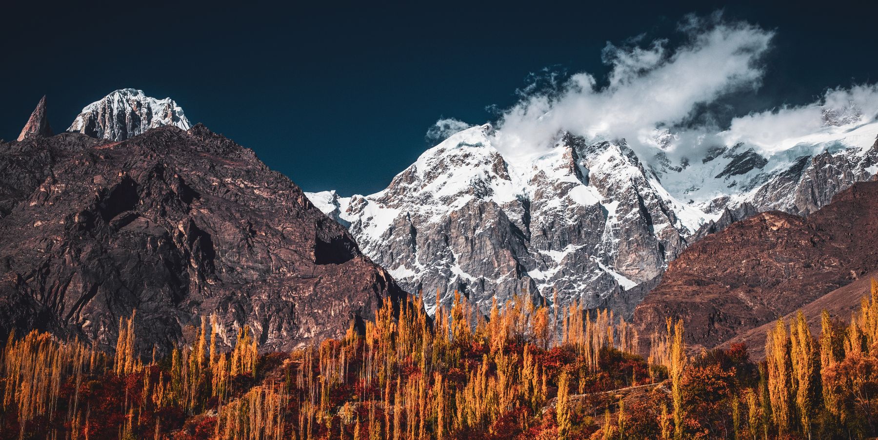 Photo: Wasif Mehmood / Pexels
Hunza’s old water channels, known locally as kuls, run for tens of kilometres along the valley sides. They carry meltwater from glaciers and streams to terraced fields and orchards. Many are still maintained by the communities that built them, and walking beside them gives a close view of how farming works in this high mountain valley.
How the channels work
The channels take water from streams and small glaciers high above the valley floor. A head gate diverts part of the flow into a channel that runs along a contour, falling gently as it goes. The channel is usually unlined, cut into soil and rock, and its slope is set so that water reaches the fields without scouring the bed. Where the ground is unstable, the channel is carried on wooden supports or cut through rock.
Water is allocated to each village and then to each household according to traditional rules. A water master, chosen by the community, opens and closes gates on a schedule that rotates through the day and night. The system relies on constant maintenance: each year, before the irrigation season, villagers repair sections damaged by landslides or frost. This work is usually done collectively and is one of the main communal activities in the valley.
The channels are not just irrigation lines. They also feed small hydro turbines that generate electricity for local homes, and they support trees and bushes along their banks. In a landscape where rainfall is low, the channels create a green strip that stands out against the bare slopes. The oldest channels are said to be several centuries old, though exact dates are not recorded.
Walking beside the channels
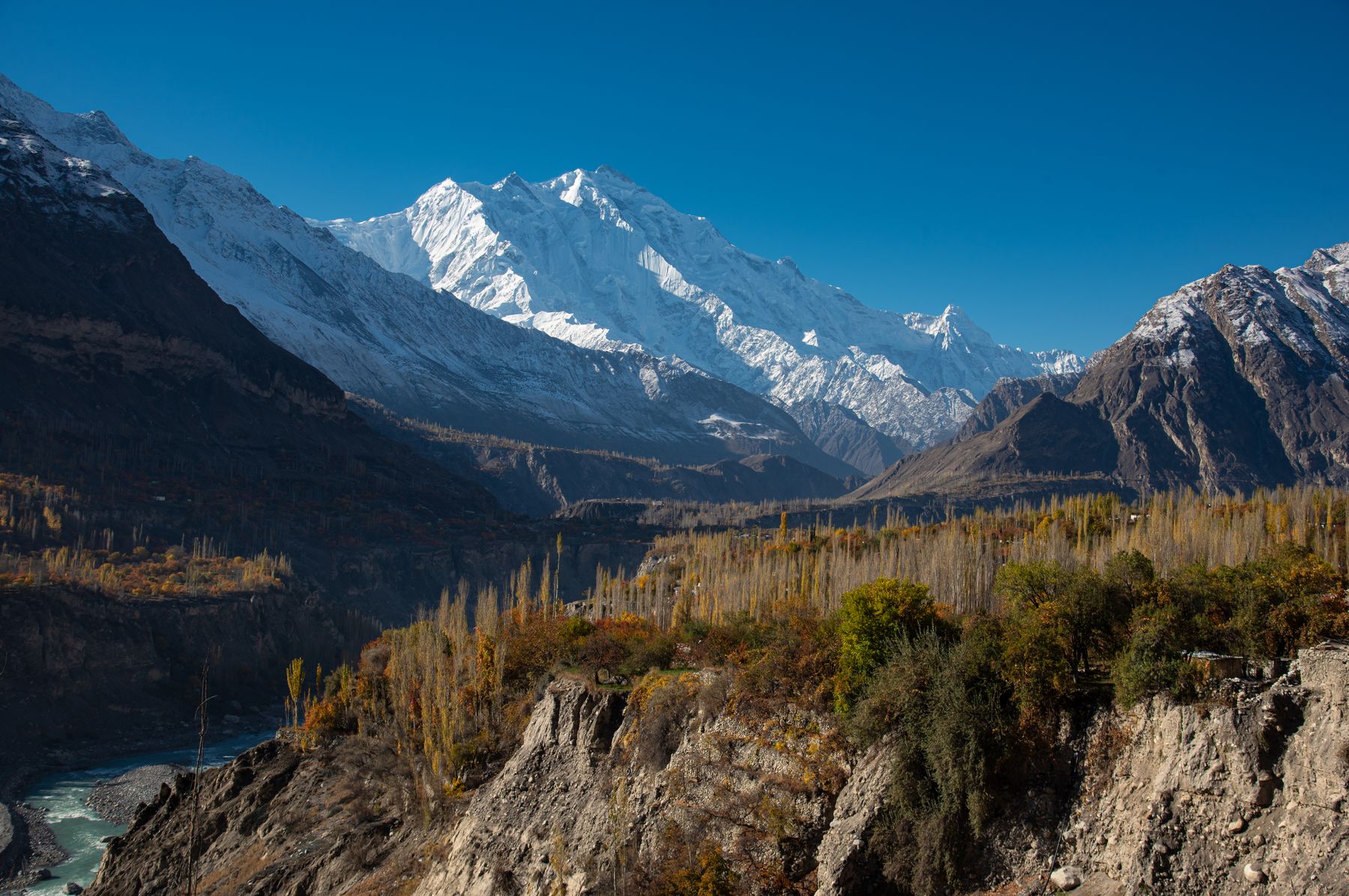
Several channels can be followed on foot from the Karakoram Highway. The channel that runs above Karimabad passes through the old settlement and continues towards Altit and Ganesh. A path follows the channel for part of its length, giving views across the valley to Rakaposhi and Diran. The walk is gentle in places but can be narrow, with a drop to one side, so care is needed.
Another accessible channel starts near Gulmit in Gojal and runs above the village. It passes through poplar plantations and fields of wheat and maize. In spring, the channel banks are lined with flowering apricot and cherry trees. The water is cold and clear, and in summer it runs fast. Walking beside it, you can see how the channel is built up with stones and earth to keep a steady fall.
Guided walks can be arranged locally, but it is also possible to follow the channels independently. Some sections cross private land, so it is polite to ask before entering fields. The channels are working infrastructure, not trails, and the banks can be slippery. Avoid walking on the channel walls themselves, as they are often made of loose material.
پانی کی باریWater turn: the rotation by which each household receives irrigation water, a central rule of Hunza’s channel system.
What grows in the valley
The water from the channels supports a range of crops. Apricots are the most visible: the valley is known for its apricot orchards, and the fruit is eaten fresh, dried, or made into jam and oil. Cherries, apples, pears and walnuts also grow. In the lower parts of the valley, wheat and maize are grown on terraced fields. Potatoes and other vegetables are common in household plots.
The channels also water fodder crops for livestock. In summer, the fields are green and the valley floor is busy with harvest work. In autumn, apricots are spread out to dry on rooftops and wooden platforms. The dried fruit is an important part of the local diet and is sold in bazaars along the highway. Visitors can taste fresh apricots in season and buy dried ones throughout the year.
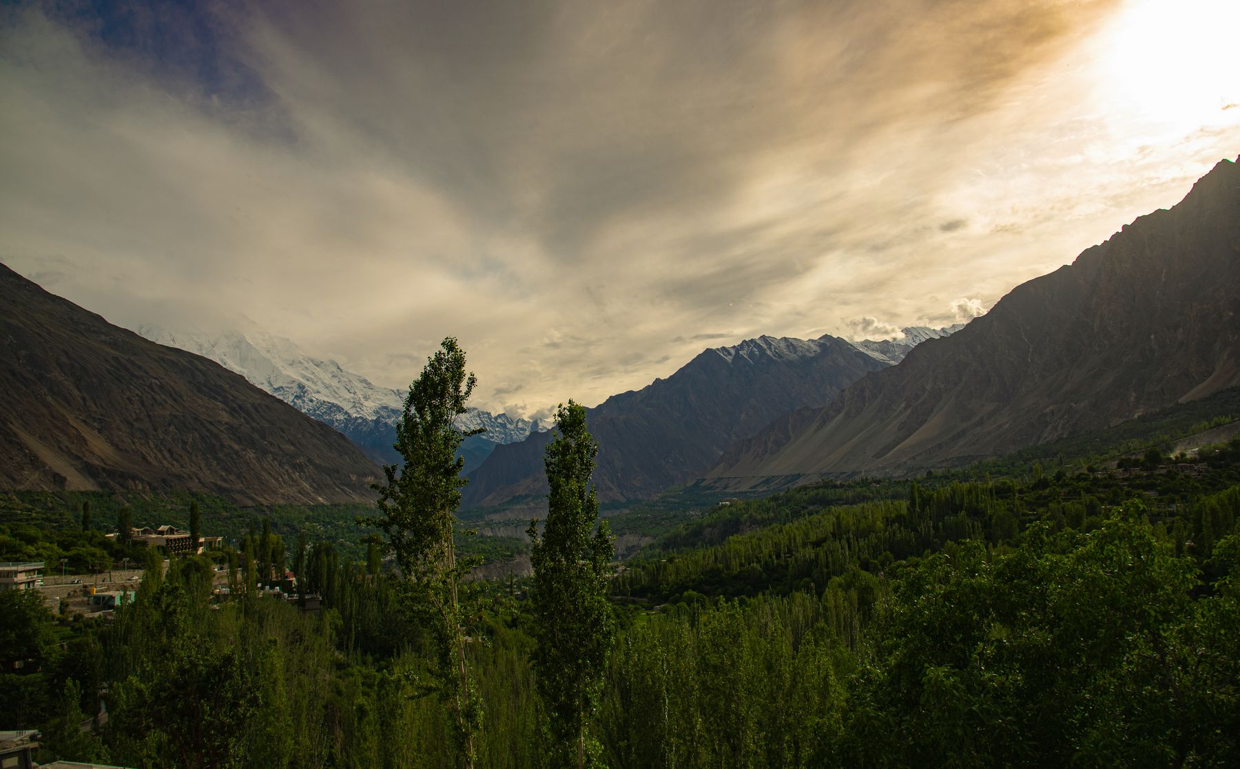
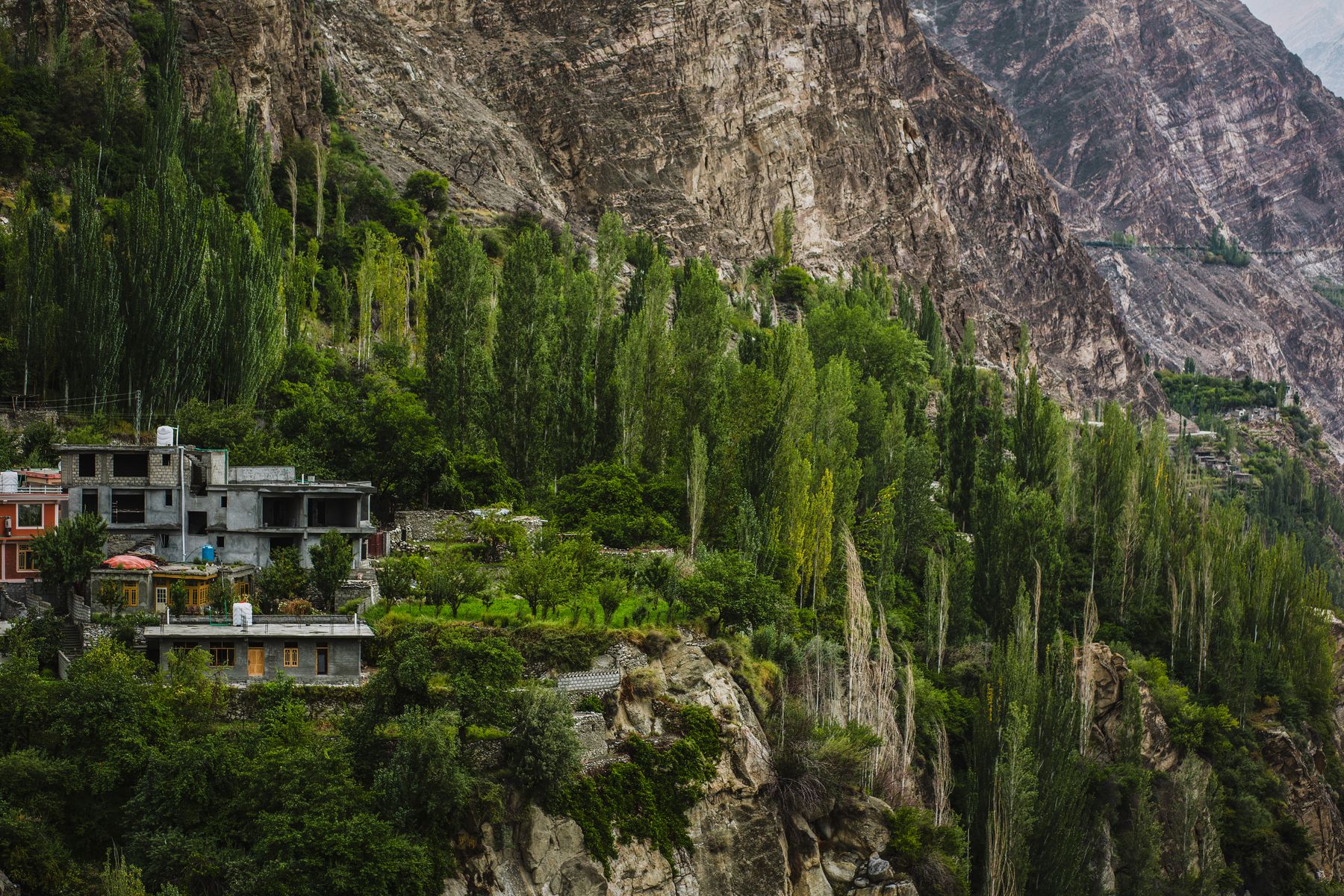
The irrigation system shapes the look of the valley. Villages are surrounded by a patchwork of small fields, each bordered by low walls or hedges. The channels run through these fields and along the edges of settlements. The green of the irrigated land contrasts with the grey and brown of the surrounding mountains. This contrast is clearest in early summer, when the snow has melted and the channels are full.
History and upkeep
The origins of Hunza’s channels are not precisely documented, but they are clearly old. The system of water rights is passed down orally and is linked to the social structure of each village. In the past, the ruling mir of Hunza controlled some of the main channels, and water rights were tied to land ownership and social status. Some of these arrangements have changed, but the basic principles of shared maintenance remain.
Today, maintenance is organised by village committees. Every household is expected to provide labour or contribute to the cost of materials. Repairs are usually needed after the spring snowmelt, when landslides and erosion damage the channels. In some places, concrete has replaced earth and stone to make the channels more durable, but many sections remain traditional.
The channels are also affected by changes in glacier melt and rainfall. In recent years, some channels have carried less water in late summer, while others have been damaged by flash floods. Communities are adapting by lining channels, building check dams and adjusting planting times. These changes are gradual and are decided locally. Visitors may see repair work in progress, especially in spring.
Visiting with respect
The channels are private community infrastructure. When walking along them, keep to paths and do not disturb gates or diversion structures. Ask before crossing fields or orchards. During the irrigation season, water is released according to a schedule, and interfering with a gate can cause problems for downstream users. Photography is generally acceptable, but ask before taking close-up pictures of people at work.
The best time to see the channels in use is from May to September, when water flows and crops are growing. Apricot blossom in late March and April is also a good time, though the channels may be running low. Winter can be cold, and some paths may be icy. The valley is at high altitude, so take time to acclimatise and carry water. Weather can change quickly, and the channels are often in exposed places.
Access to some side valleys and border areas may require a No Objection Certificate (NOC) or be subject to travel advisories. Rules change, so check current official advice before travelling. Within Hunza, the main channels near Karimabad, Altit and Gulmit are generally accessible without permits. Local guides can explain the water-sharing system and point out features that are easy to miss.
Where to see the channels
- KarimabadA channel runs above the old settlement and can be followed towards Altit and Ganesh. Paths are narrow in places.
- AltitThe channel passes below Altit Fort and waters terraced fields. Views across the valley to Rakaposhi.
- GulmitA channel above the village runs through poplar plantations and orchards. Accessible on foot from the Karakoram Highway.
- GaneshA small village with a channel that feeds fields and apricot orchards. A quiet place to see traditional irrigation.
Frequently asked questions
What are Hunza’s old water channels used for?
They carry meltwater from glaciers and streams to terraced fields and orchards. The water is used for irrigation, small-scale hydro power and household use. The channels are managed by village committees, and each household has a right to water according to traditional rules.
Can visitors walk along Hunza’s old water channels?
Yes, many channels have paths beside them and can be followed on foot. Some sections cross private land, so ask before entering fields. The banks can be narrow and slippery, and the channels are working infrastructure, so avoid interfering with gates or diversion structures.
When is the best time to see Hunza’s old water channels in use?
The irrigation season runs from May to September, when water flows and crops are growing. Apricot blossom in late March and April is also a good time, though the channels may be running low. Winter can be cold, and some paths may be icy.
Find a stay in Hunza
Live prices and availability open in the IMPT app, in a new tab.