Nanga Parbat, the naked mountain
Nanga Parbat, the naked mountain, dominates the horizon above Fairy Meadows. The peak's south face drops sharply, and the surrounding valleys offer views, trails and seasonal fruit.
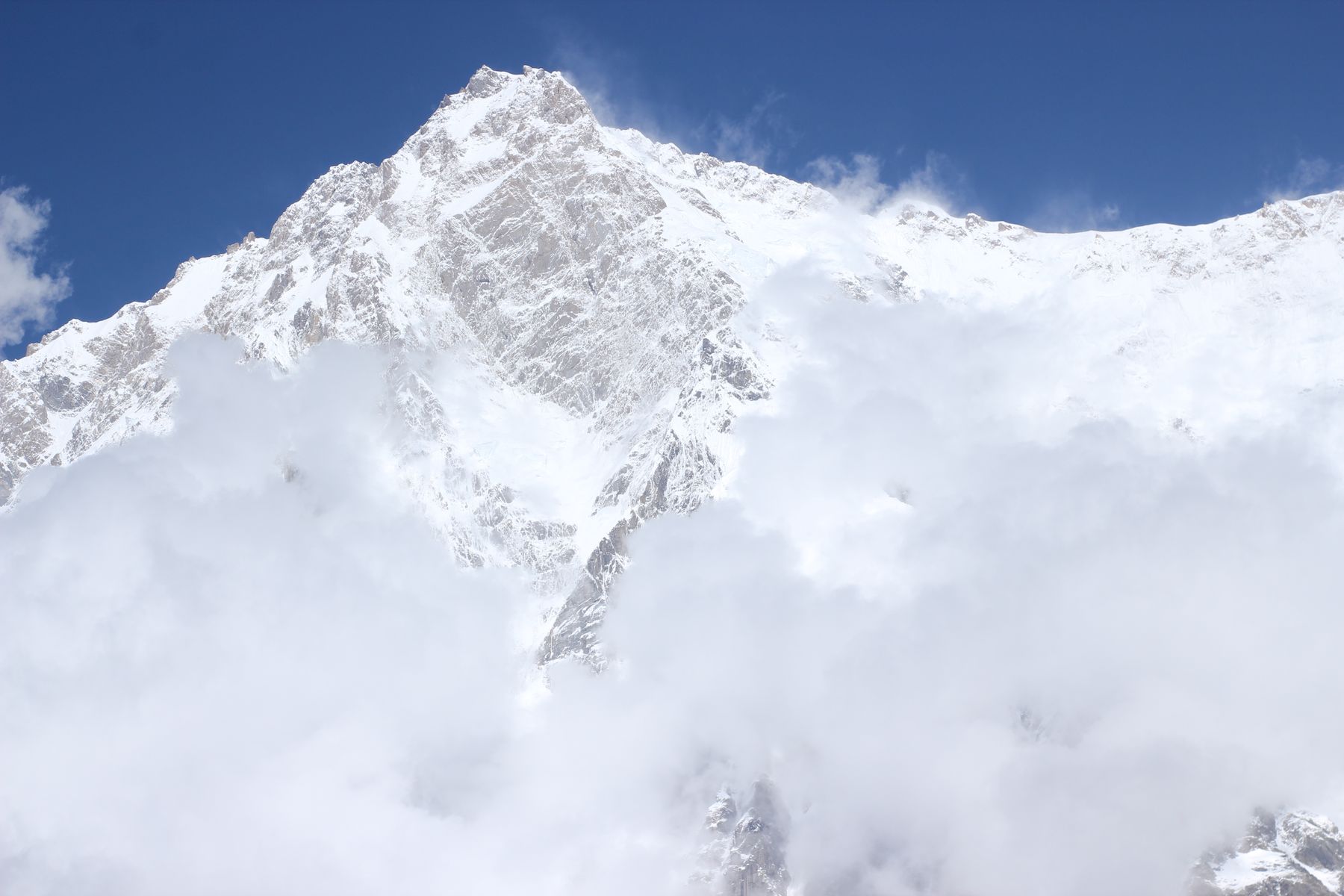 Photo: Rana Saeed Hiking / Pexels
Nanga Parbat stands at 8,126 metres in Gilgit-Baltistan, the western anchor of the Himalaya. Its name means naked mountain, a reference to the bare rock and ice of its south face. Fairy Meadows, a grassy plateau at around 3,300 metres, is the best-known viewpoint. Reaching it takes a jeep track and a walk through pine forest.
The mountain and its face
Nanga Parbat is the ninth highest mountain in the world. Its south face, the Rupal Face, rises about 4,600 metres from the valley floor, one of the greatest wall of rock and ice in the Himalaya. The mountain sits in the western Himalaya, south of the Indus River and west of the Astore Valley. The peak is also known as Diamer, a name used locally.
The mountain has a long climbing history. The first ascent was in 1953 by Hermann Buhl, who reached the summit alone without supplemental oxygen. The peak has claimed many lives, earning the name Killer Mountain among mountaineers. For visitors, the mountain is a backdrop rather than a climb. The views from Fairy Meadows and the surrounding trails are the main attraction.
The name Nanga Parbat comes from Sanskrit and means naked mountain. It refers to the barren, snow-and-rock faces that are visible from the south. The mountain is not naked of snow, but the south face is often swept by avalanches and shows bare rock. The peak is a dominant feature of the landscape and can be seen from parts of the Karakoram Highway on clear days.
Fairy Meadows and the approach
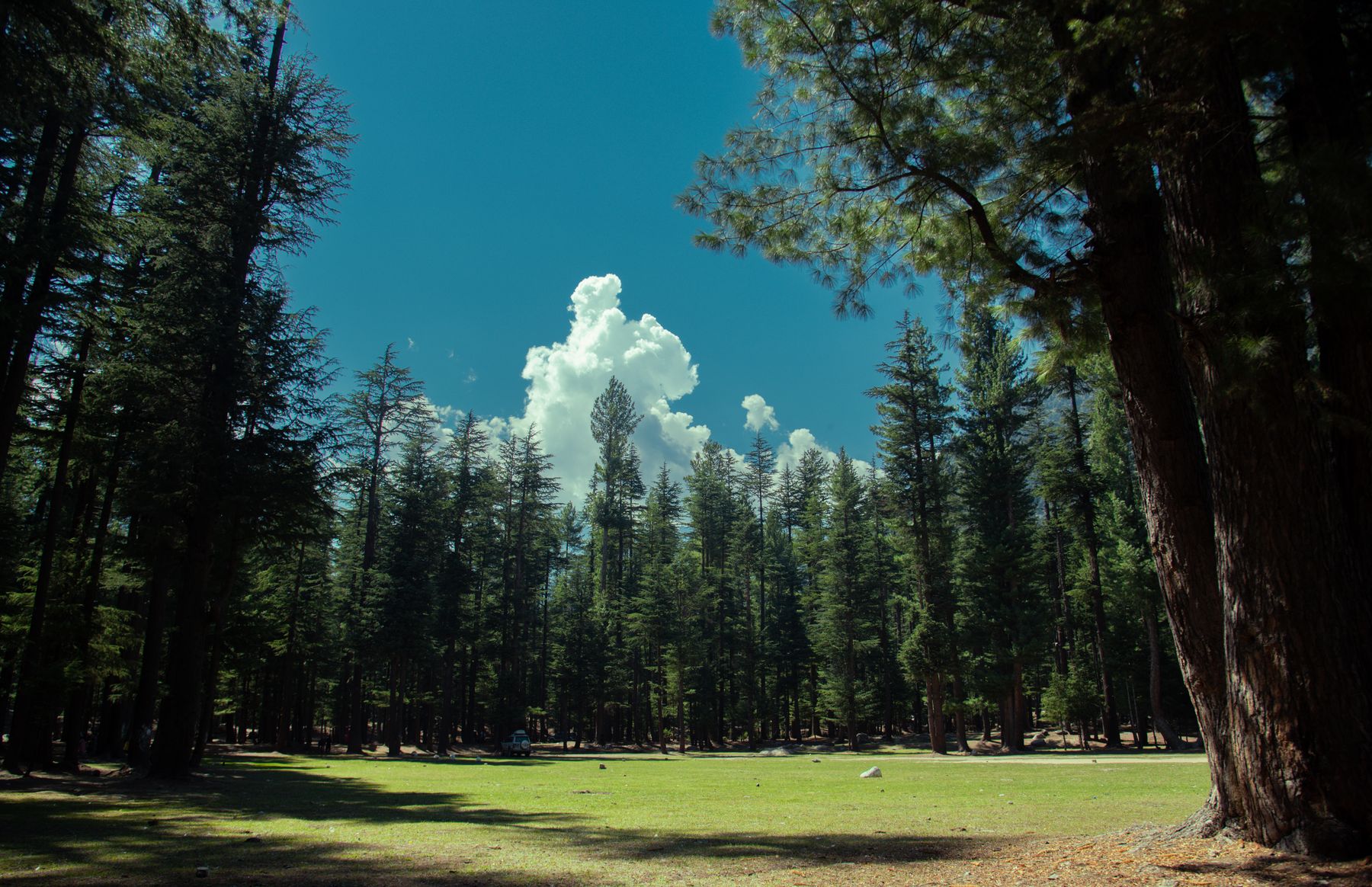
Fairy Meadows is a small grassy area with pine trees at the edge of the Rupal Face. It is reached from the village of Raikot Bridge on the Karakoram Highway. From Raikot Bridge, a narrow jeep track climbs to Tato village, a journey of about two hours. From Tato, a walk of two to three hours through pine forest leads to Fairy Meadows. The trail is steep in places but well used.
The meadow has a few basic guesthouses and campsites. There are no hotels in the usual sense, and facilities are simple. The meadow is only accessible on foot, so luggage is carried or left in Tato. The season runs from late spring to early autumn. In winter, snow closes the track and the meadow is deserted.
From Fairy Meadows, a further walk of about two hours leads to Beyal Camp, a small settlement closer to the mountain. From Beyal, a rough trail continues towards Base Camp, but most visitors stop at Beyal for views. The meadow itself offers clear views of the north face of Nanga Parbat, including the Rakhiot Face, and the summit on clear days.
ننگا پربتNanga Parbat, meaning naked mountain, a name that describes the bare rock faces seen from Fairy Meadows.
What to see and taste
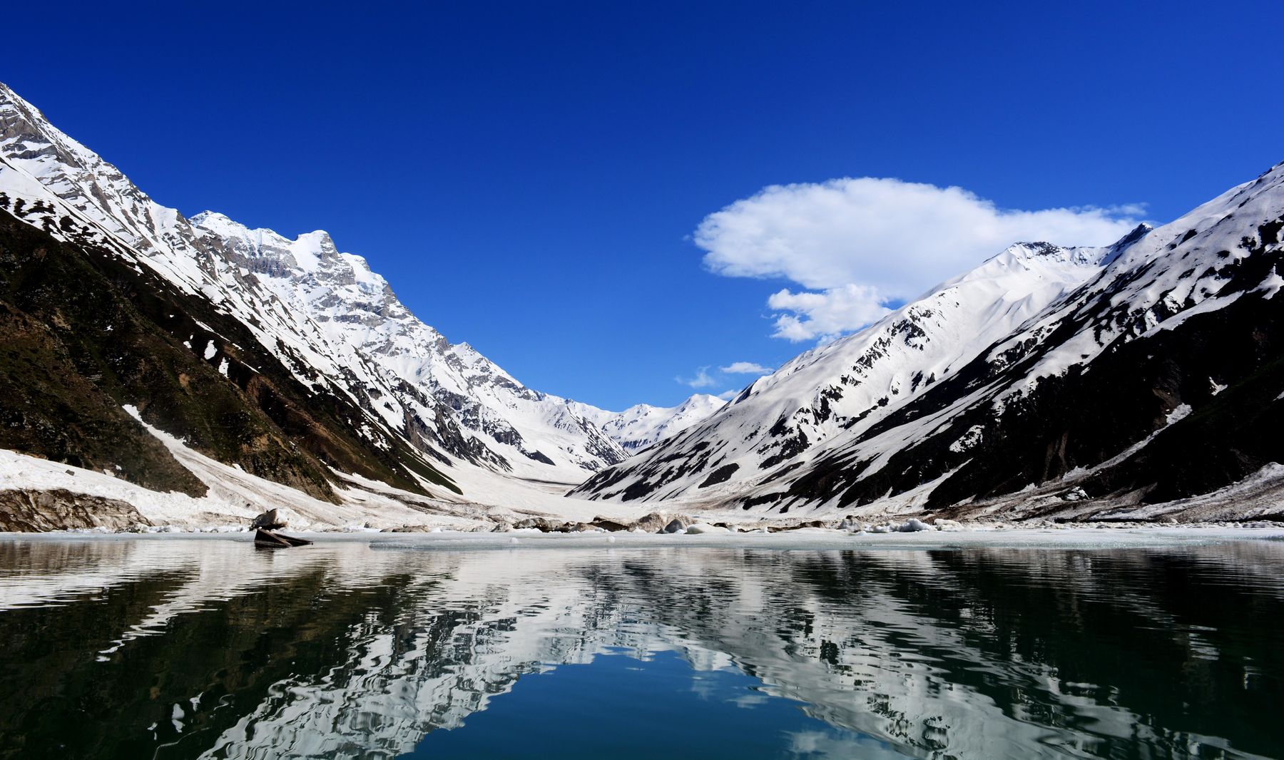
The main sight is the mountain itself. Sunrise and sunset are the best times, when the light catches the summit and the face. The meadow is surrounded by pine forest, and the air is cool even in summer. Birds such as the Himalayan griffon vulture and the golden eagle can be seen. The views from Beyal Camp are closer and more dramatic.
Local food is simple and based on what grows in the valleys. Apricots are a staple, dried and used in soups and stews. Walnuts and cherries are also grown. In summer, fresh apricots and cherries are sold along the trail. Tea is served with milk and sugar. Bread is baked in tandoor ovens. Meals at the guesthouses are basic but filling.
The surrounding valleys, including the Astore Valley, have terraced fields and traditional villages. The people are mostly Shina-speaking. Hospitality is generous, and tea is offered to visitors. The area is also known for its apricot orchards, which flower in early spring. The harvest in late summer brings fresh and dried fruit to the local markets.
Seasons and access
The best time to visit Fairy Meadows is from June to September. The jeep track and trails are usually clear of snow. July and August are the warmest months, but also the busiest. June and September are quieter and cooler. In May, the track may still have snow in places, and the meadow can be muddy. October can be clear but cold, and the first snows may arrive.
Access to the area is from the Karakoram Highway, which connects Islamabad to Gilgit. The turn-off at Raikot Bridge is about two hours by road from Gilgit and about five hours from Skardu. The jeep track from Raikot Bridge to Tato is rough and narrow, and only local jeeps are allowed. The walk from Tato to Fairy Meadows is on a well-defined trail.
Permits are not normally required for Fairy Meadows, but rules can change. Areas near the Line of Control and some border districts may require a No Objection Certificate (NOC). Check current official advice before travelling. The weather in the mountains can change quickly, and it is wise to carry warm clothing and rain gear. Mobile phone coverage is limited, and there are no ATMs in the area.
Nearby places to explore
The Astore Valley is south of Nanga Parbat and offers a different perspective on the mountain. The valley has several villages, including Astore town, which has a small bazaar and basic services. The road from Astore to Gilgit via the Astore Valley is scenic and less travelled. The valley is also a starting point for treks to the Rupal Face.
The Deosai Plains, a high plateau at over 4,000 metres, lie to the east of Astore. The plains are accessible from Skardu and Astore in summer and are known for their wildflowers and brown bears. The road from Astore to Skardu via Deosai is rough but rewarding. The plains are usually open from July to September.
The Karakoram Highway itself is a major attraction, with views of the Indus River and the mountains. The section between Raikot Bridge and Gilgit passes through the narrow Indus gorge. The town of Gilgit has a bazaar, a fort and an airport. From Gilgit, the road continues north to Hunza and China. The highway is a journey in itself, with stops at viewpoints and small villages.
Where to find it
- Fairy MeadowsA grassy plateau at around 3,300 metres with views of Nanga Parbat's north face, reached by jeep and a two to three hour walk.
- Beyal CampA small settlement about two hours' walk from Fairy Meadows, closer to the mountain and offering more dramatic views.
- Raikot BridgeThe turn-off from the Karakoram Highway where the jeep track to Tato begins, about two hours from Gilgit.
- AstoreA town in the Astore Valley south of Nanga Parbat, with a bazaar and access to the Rupal Face.
Frequently asked questions
What does the name Nanga Parbat mean?
Nanga Parbat means naked mountain in Sanskrit, referring to the bare rock and ice faces visible from the south. The name is widely used and reflects the mountain's appearance from Fairy Meadows and the Rupal Valley.
How do you reach Fairy Meadows from the Karakoram Highway?
From Raikot Bridge on the Karakoram Highway, a jeep track leads to Tato village. From Tato, a walk of two to three hours through pine forest reaches Fairy Meadows. The jeep track is rough and only local jeeps are allowed.
When is the best time to visit Nanga Parbat and Fairy Meadows?
The best time is from June to September, when the track and trails are usually clear of snow. July and August are warmest and busiest. June and September are quieter. In May and October, snow can still affect access, so check conditions locally.
Find a stay in Fairy Meadows
Live prices and availability open in the IMPT app, in a new tab.