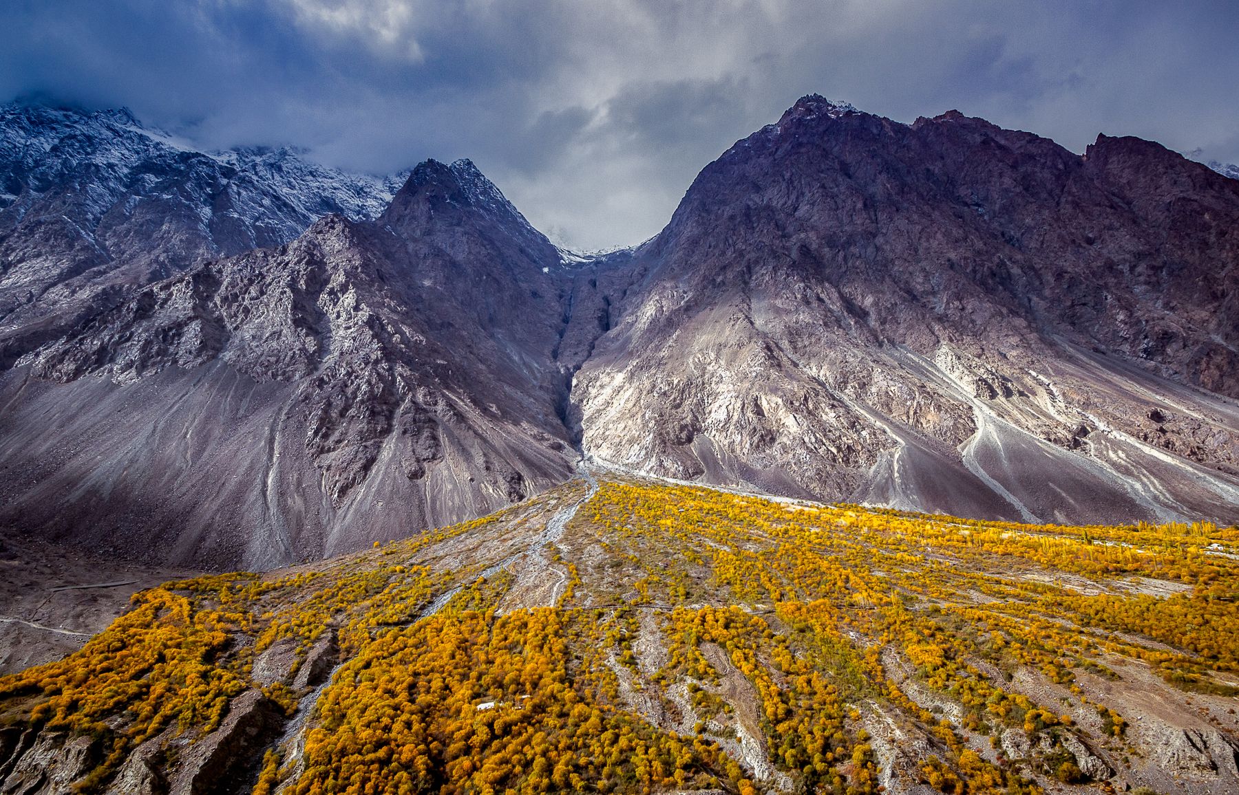
 Photo:
Visiting Chitral
What the place is like
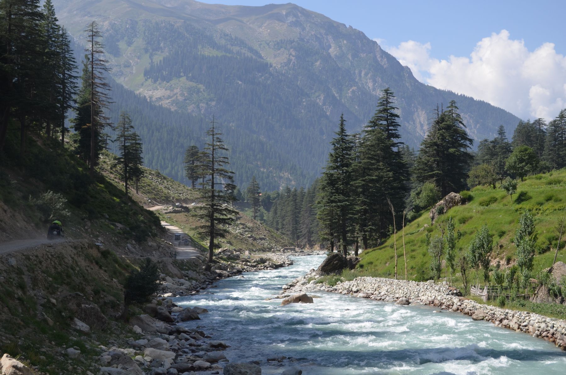
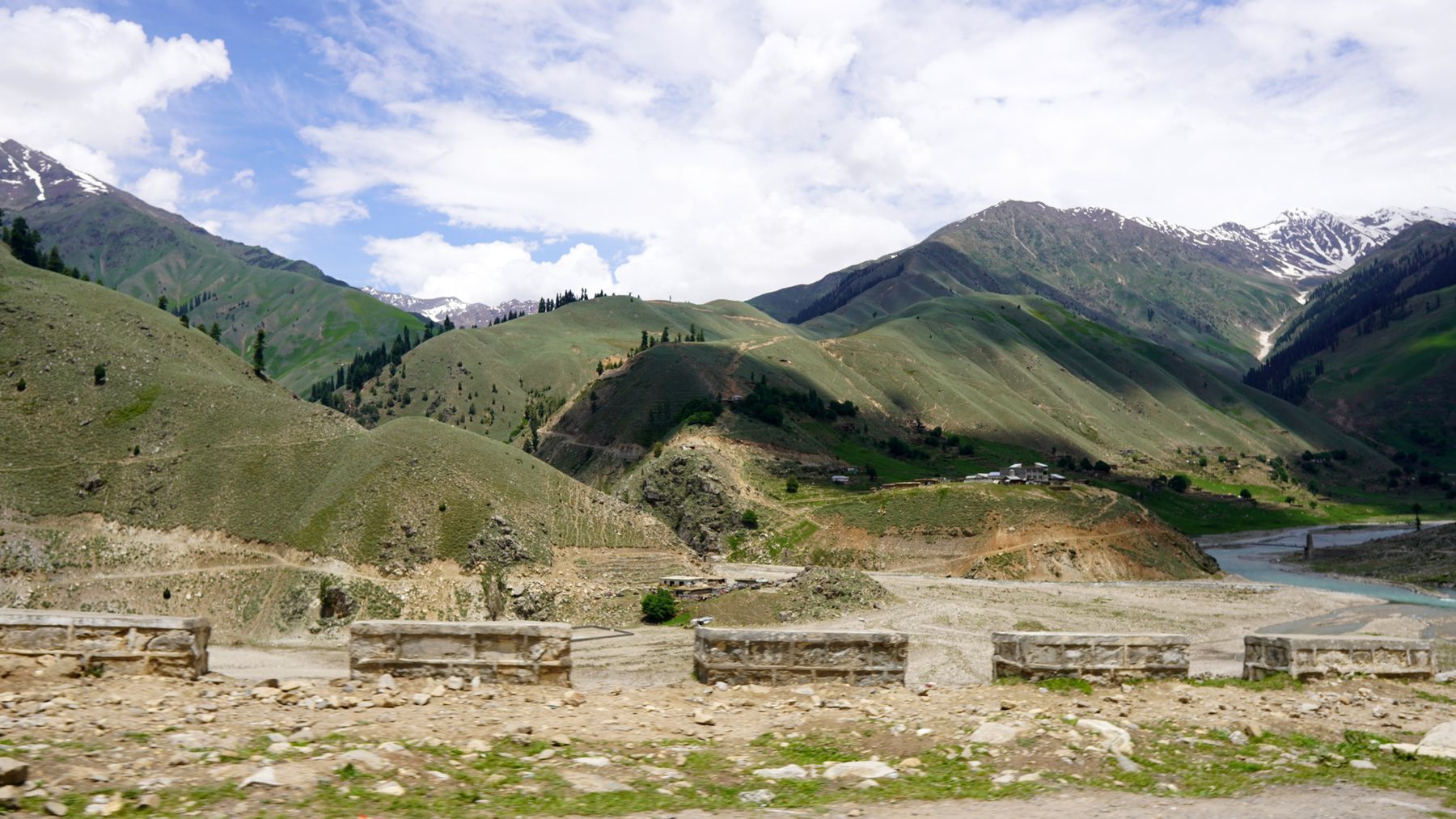
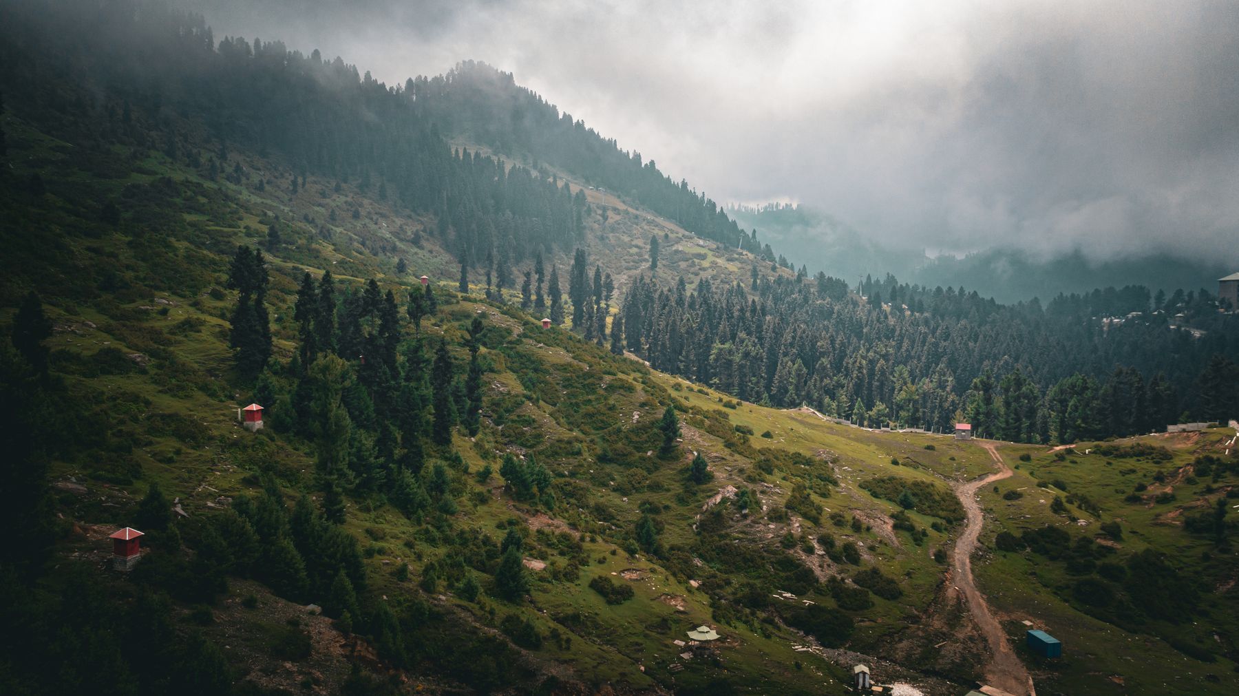
Chitral is a low river town in a high mountain district. The bazaar is a line of single-storey shops along the main road. The fort and the mosque stand on the rise above it. Most buildings are plain, built of stone, mud and timber. The river runs grey-green below the town, fed by snowmelt from the Hindu Kush.
The town is the hub for a wide area. People come in from side valleys to trade and use the hospital and schools. In summer the bazaar fills with visitors heading to the Kalash valleys or over the Shandur Pass. Winters are cold, with snow on the surrounding slopes, and the town is quiet.
People and language
Most people in Chitral town speak Khowar, the main language of the district. Kalash people in the side valleys speak their own language. Urdu and English are understood in offices and larger shops. Dress is conservative, and women usually cover their heads in the bazaar.
What to see
The Shahi Qila is the main historic sight. The fort has been rebuilt and repaired over the years after earthquakes and fighting. Inside, rooms and courtyards show how the Mehtar lived. The Shahi Masjid nearby has carved wooden pillars and a quiet courtyard. Both are close to the bazaar and can be seen in a morning.
West of town, Chitral Gol National Park protects a side valley of oak and juniper. Markhor are the best-known animal there. Access is controlled and a permit is needed, so ask locally before setting out. Garam Chashma, further west, has hot springs and a small bazaar. The road to it follows the river through villages and orchards.
A day or two there
One day covers the town. Start at the bazaar in the morning, then walk up to the fort and the mosque. In the afternoon, take a walk along the river or visit the polo ground, where matches are played in season. Chitral is known for polo, and the game is played in the town and in the valleys.
A second day allows a trip out. Bumburet in the Kalash valleys is a half-day each way by road, so a full day is needed. Garam Chashma is closer and can be done in a half day. Both trips use rough roads, and a local driver is the simplest way to go.
Kalash valleys
Bumburet, Rumbur and Birir lie south of Chitral town. The Kalash people have their own religion and festivals. Visitors are welcome in most villages, but dress and behaviour should respect local custom. A fee may be charged at the valley entrance. Roads are narrow and can be closed by snow or landslides.
Getting there and around
Chitral has a small airport with flights from Peshawar and Islamabad when weather allows. Flights are often cancelled in cloud or wind, so allow spare days. By road, the main route comes from Dir over the Lowari Pass. A tunnel now runs under the pass and shortens the journey, though the road can still close in winter.
From the south, another road comes up the Chitral River from the direction of Timergara and Dir. From Gilgit, the road over the Shandur Pass is open in summer only and is rough. Within the town, most places are within walking distance. For side valleys, hire a local vehicle with a driver.
Permits and advice
Some areas near Chitral, including parts of the border districts, may need a No Objection Certificate (NOC). Rules change, so check current official advice before travelling. Carry a copy of your passport and any permit. Ask at the district office in Chitral town if you are unsure about a route.
Practical notes
Spring and autumn are the most comfortable seasons. Summer is warm in the town but busy with visitors. Winter is cold, with snow on the passes and some roads closed. The Kalash festivals in spring and autumn draw crowds, so book transport and rooms ahead if you plan to be there then.
Money and supplies are limited. Bring enough cash, as card payment is rare outside larger towns. Mobile signals work in the town but are weak in the side valleys. Health facilities are basic, so carry any medicine you need. Drink boiled or bottled water.
Health and altitude
Chitral town is at about 1,500 m, which is low enough that most visitors feel no effect. Side valleys and passes go higher, so take it slowly if you go up. The sun is strong in summer. Carry a hat and water on walks. In winter, roads can ice over, so travel in daylight.
Frequently asked questions
How do you get to Chitral?
Chitral has a small airport with flights from Peshawar and Islamabad when weather allows. By road, the main route comes from Dir over the Lowari Pass, now with a tunnel. Another road follows the Chitral River from the south. The Shandur road from Gilgit is open in summer only.
When is the best time to visit Chitral?
April to October is the most comfortable period. Spring and autumn are mild. Summer is warm in the town and busy with visitors. Winter is cold, with snow on the passes and some roads closed. The Kalash festival seasons in spring and autumn are busy, so plan ahead.
Do you need a permit to visit Chitral?
Chitral town itself does not normally need a permit. Some areas near the border districts may need a No Objection Certificate (NOC). Rules change, so check current official advice before travelling. Carry your passport and any permit, and ask at the district office in Chitral town if unsure.
What is there to see in Chitral town?
The Shahi Qila fort and the Shahi Masjid are the main historic sights, both close to the bazaar. The bazaar itself is worth a walk. The polo ground hosts matches in season. Chitral Gol National Park and the Kalash valleys are day trips from the town.