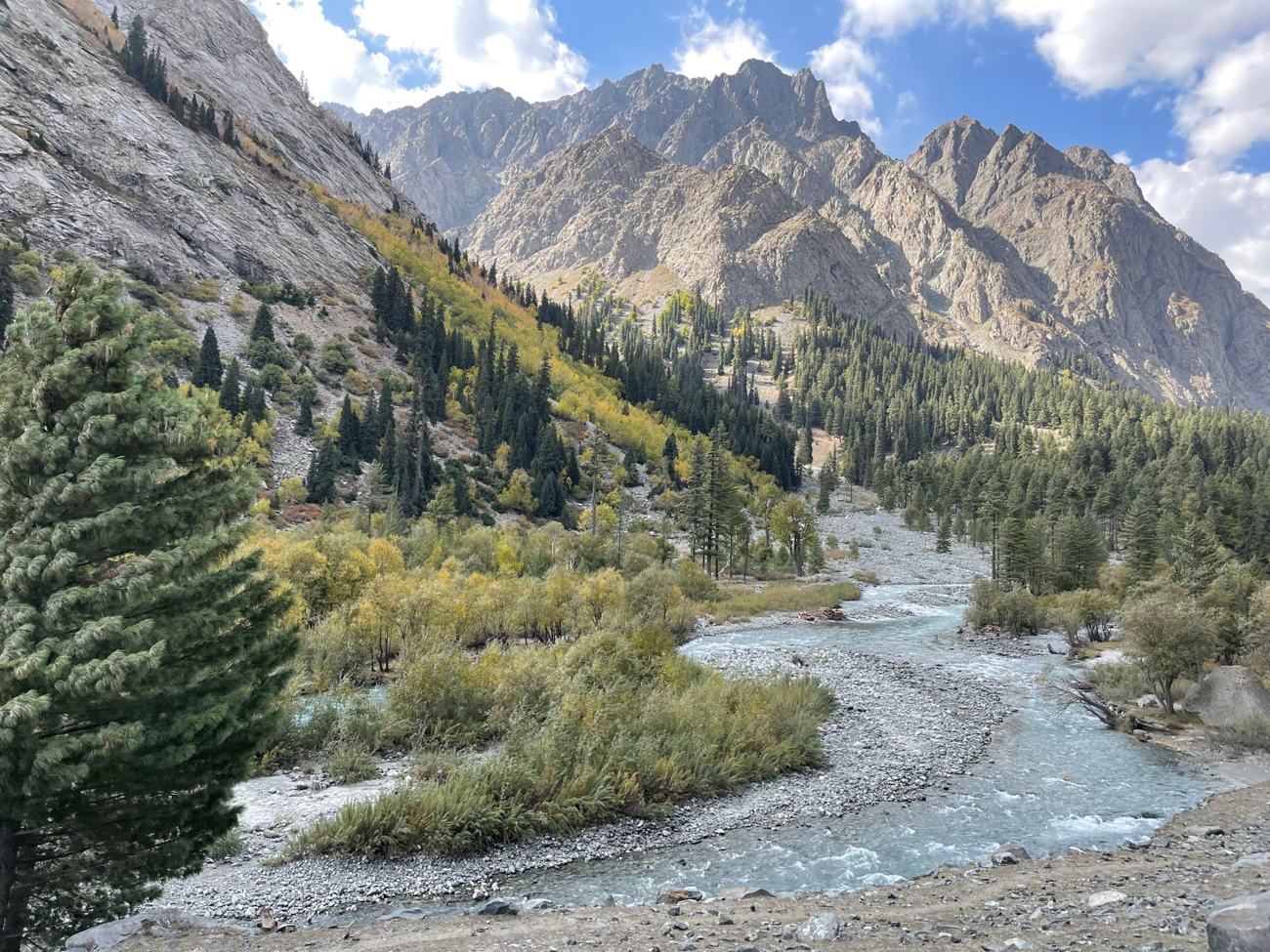
 Photo:
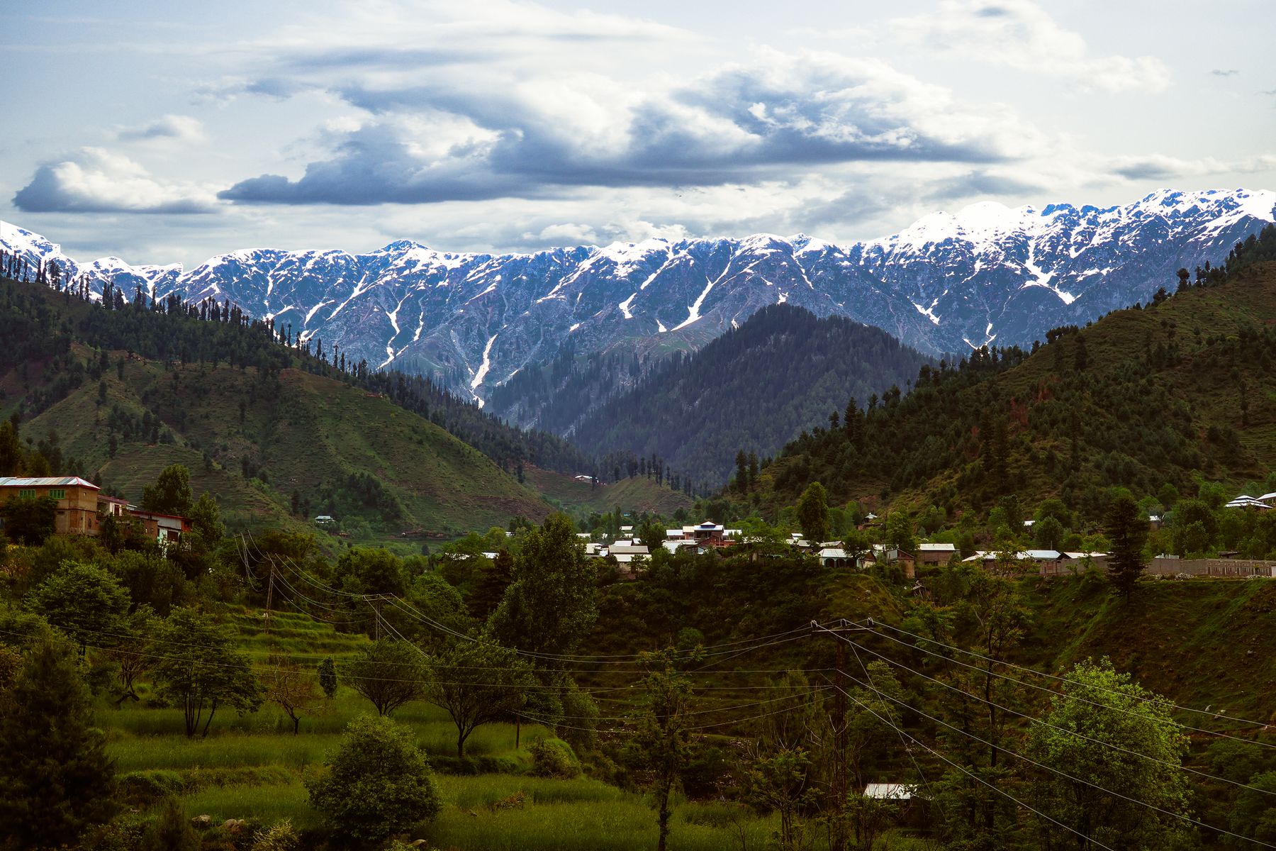
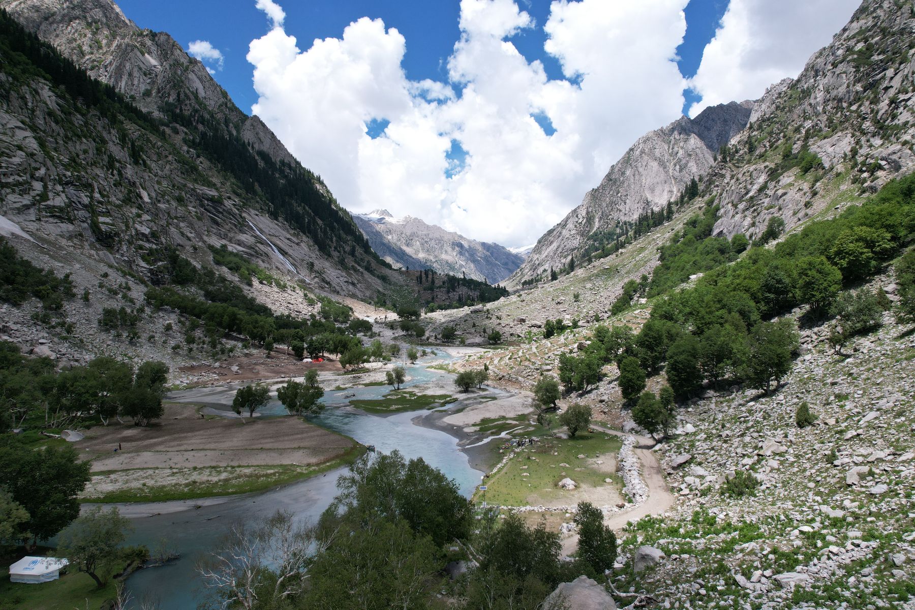

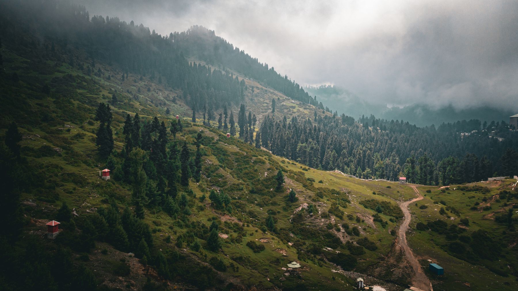
A travel guide to Khyber Pakhtunkhwa
This guide covers where the province is, when to go, how to reach it and how to move between its valleys. It then sets out the main routes, practical matters such as permits and cash, food and customs, and a few suggested itineraries for trips of one to two weeks.
Where it is
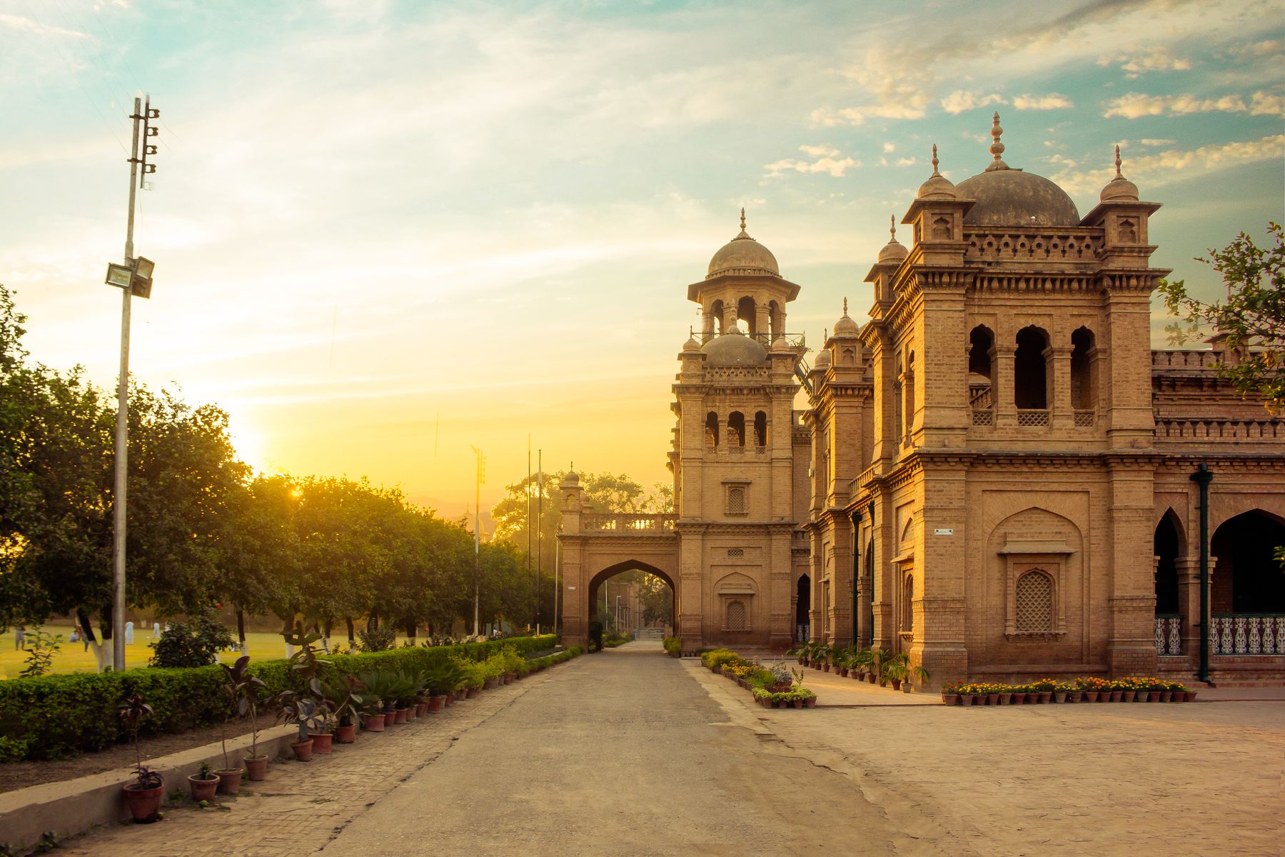
Khyber Pakhtunkhwa lies in Pakistan's north-west. It borders Afghanistan along the Durand Line to the west, Gilgit-Baltistan to the north-east, Azad Kashmir to the east and Punjab to the south-east. The capital, Peshawar, sits on the plain near the Khyber Pass, an old route into Afghanistan.
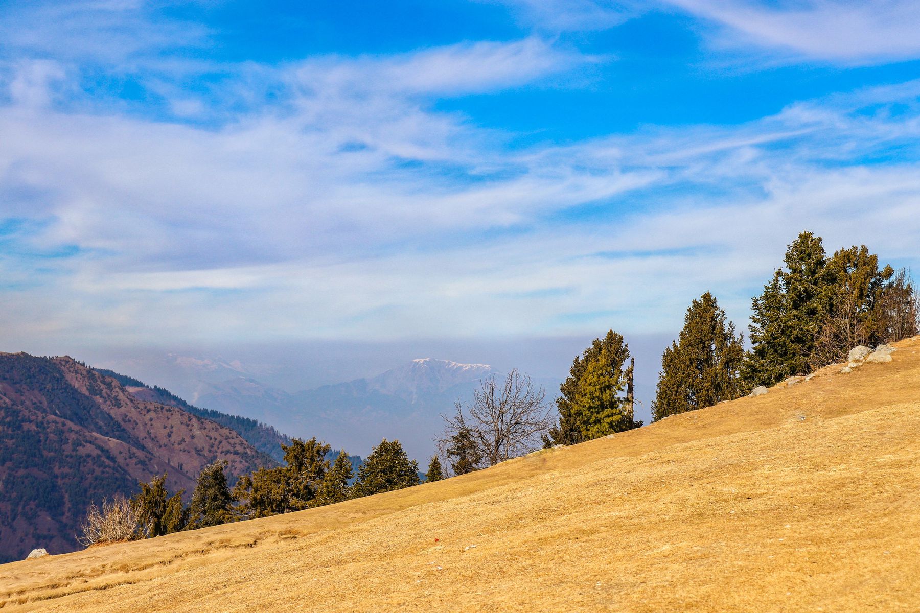
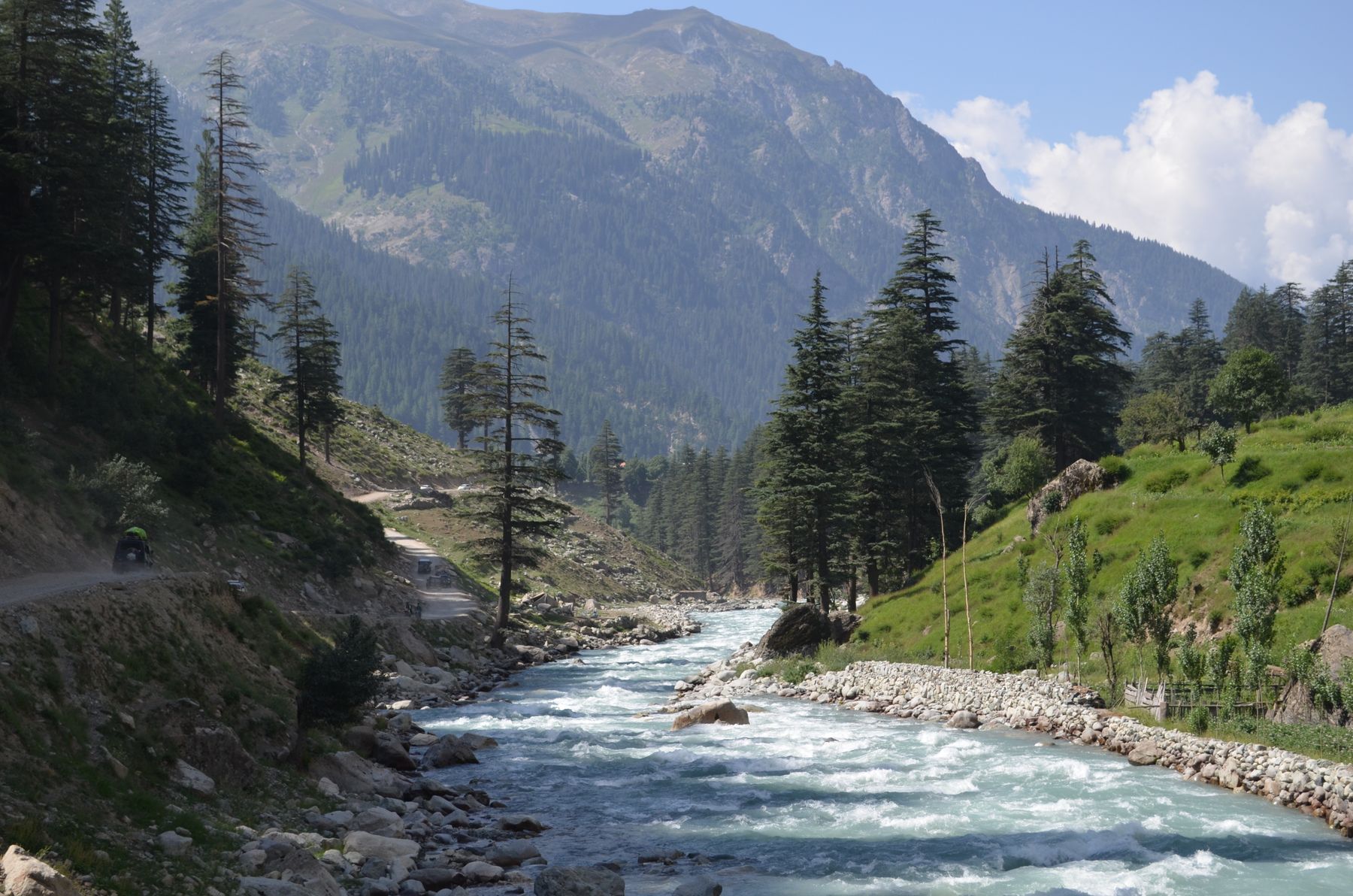
North of Peshawar the land rises into hills and then mountains. The Swat River runs south from the Hindu Kush through Swat. The Kunhar River drains the Kaghan Valley towards the Jhelum. Chitral lies in a deep valley west of the Hindu Kush, reached by the Lowari Pass or by air.
The province's highest point is Tirich Mir in the Hindu Kush, at 7,708 m. The mountain stands above Chitral and is visible from parts of the valley on clear days.
Best time to visit
May to September is the main season for the northern valleys. Days are warm in Swat, Kalam and Chitral, and the high passes are usually open. July and August bring monsoon rain, which can trigger landslides on mountain roads. Travel can be slower in those months.
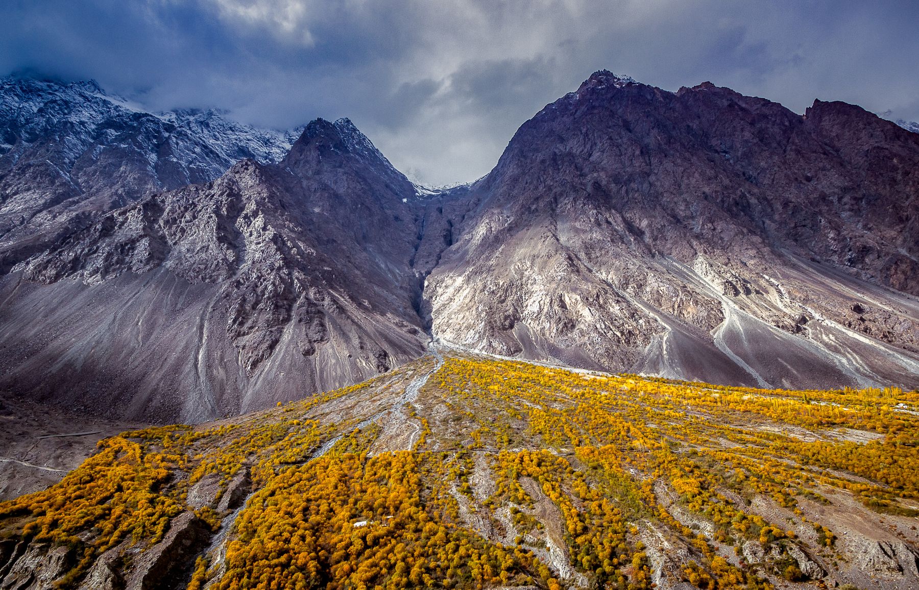
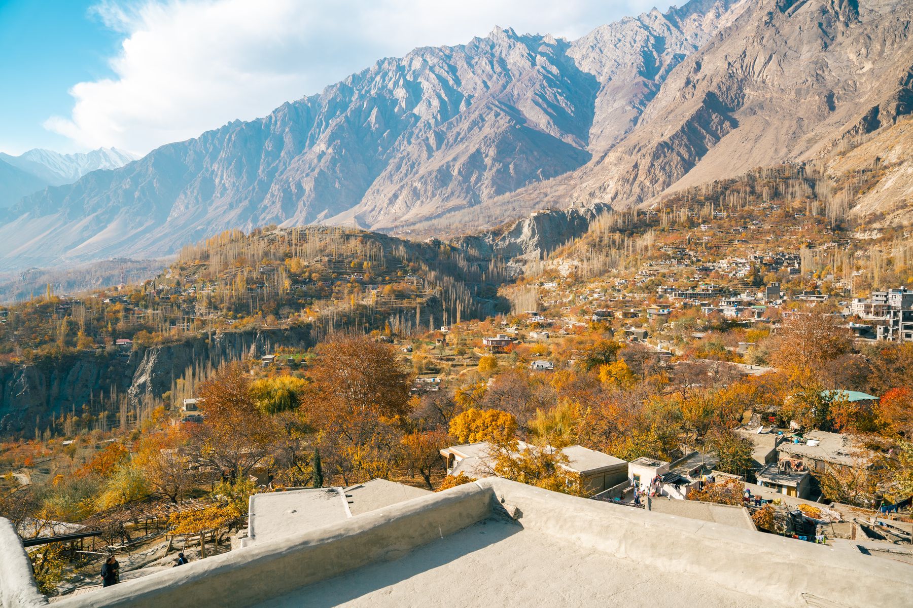
April and October are quieter and cooler. In April the fruit trees in Swat and Hunza-side valleys flower, though some high roads are still closed. October brings clear air and cool nights before the snow. Peshawar and Abbottabad can be visited year round, though summers are hot on the plain.
Winter travel is possible in Peshawar and Abbottabad. Malam Jabba has ski slopes and can be visited in winter when snow conditions allow. Chitral and the Kalash Valleys are colder and some roads close after heavy snow.
Getting there
Most visitors arrive by road from Islamabad. The M-1 motorway runs from Islamabad to Peshawar in about two hours. From Peshawar, roads lead north to Swat and west to the Khyber Pass. From Islamabad, the Hazara Motorway gives faster access to Abbottabad and the Kaghan Valley.
Peshawar has an airport with domestic flights and some international connections. Chitral also has an airport with flights from Peshawar and Islamabad when weather allows. Flights to Chitral are often cancelled in poor weather, so allow extra days if flying.
Buses and vans run from Islamabad and Peshawar to Swat, Abbottabad and Naran. Services to Chitral are less frequent and the Lowari Pass road can be slow. A private car or a hired vehicle with a driver gives the most flexibility for valley travel.
Swat and Kalam
Swat is the province's best-known valley. The Swat River runs through it, and the main towns are Mingora and Saidu Sharif. The valley has Buddhist remains, including stupas and monasteries, from the period when the area was part of Gandhara. The Swat Museum in Saidu Sharif holds finds from those sites.
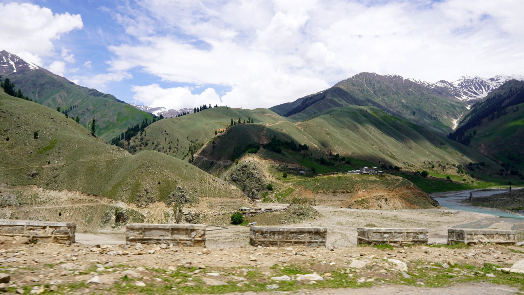
North of Mingora the valley narrows towards Kalam. The road follows the river past villages and side valleys. Kalam is a base for walks and for trips to Mahodand Lake and the Ushu forest. The road beyond Kalam is rough in places and may be affected by landslides in summer.
Malam Jabba lies on a side road east of the Swat River, between Mingora and Kalam. It has ski slopes and a hill station feel. In winter snow can make the access road difficult. In summer it is a cool stop between the lower valley and Kalam.
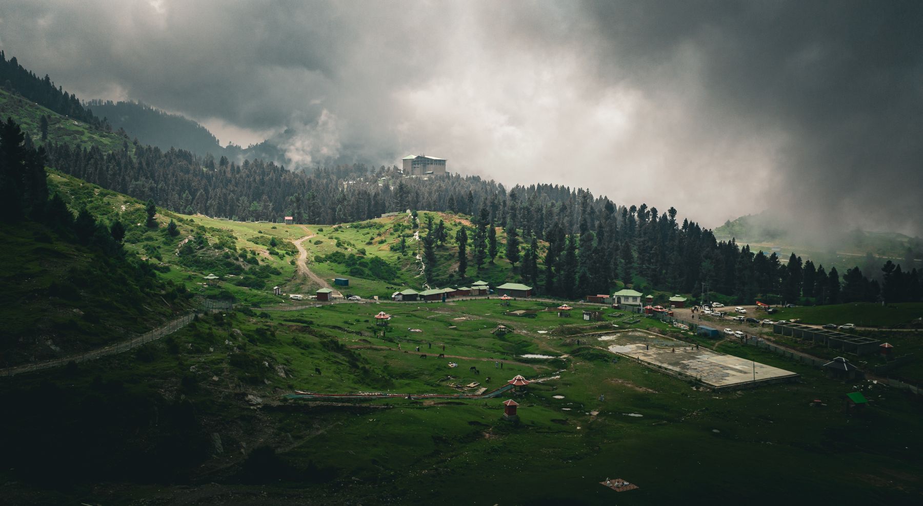
Malam Jabba
Malam Jabba sits at around 2,600 m on a ridge above the Swat Valley. The slopes are used for skiing in winter when snow conditions allow. A chairlift runs in season. The road up from the main valley is steep in parts. Check local conditions before driving up in winter.
Chitral and the Kalash Valleys
Chitral town lies in a deep valley west of the Hindu Kush. The old fort, Chitral Fort, stands near the river and is a landmark in the town. The valley is reached by road over the Lowari Pass from Dir, or by air from Peshawar and Islamabad. The Lowari tunnel has improved access, but the road can still be slow.
South of Chitral town are the Kalash Valleys: Bumburet, Rumbur and Birir. The Kalash people have their own religion and festivals, which draw visitors in spring and autumn. The valleys are reached by jeep from Chitral or from the main road. Respect local customs and ask before taking photographs.
Further north, the road towards Mastuj and the Broghil Pass leads towards the Afghan border. Some of these areas need permits or have travel advisories. Check current official advice before travelling beyond Chitral town.
Kaghan, Naran and Hazara
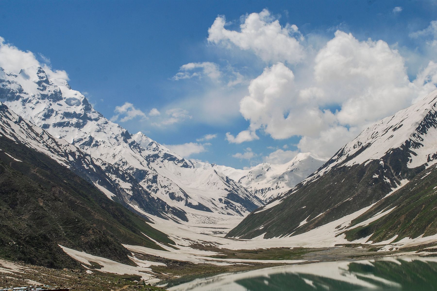
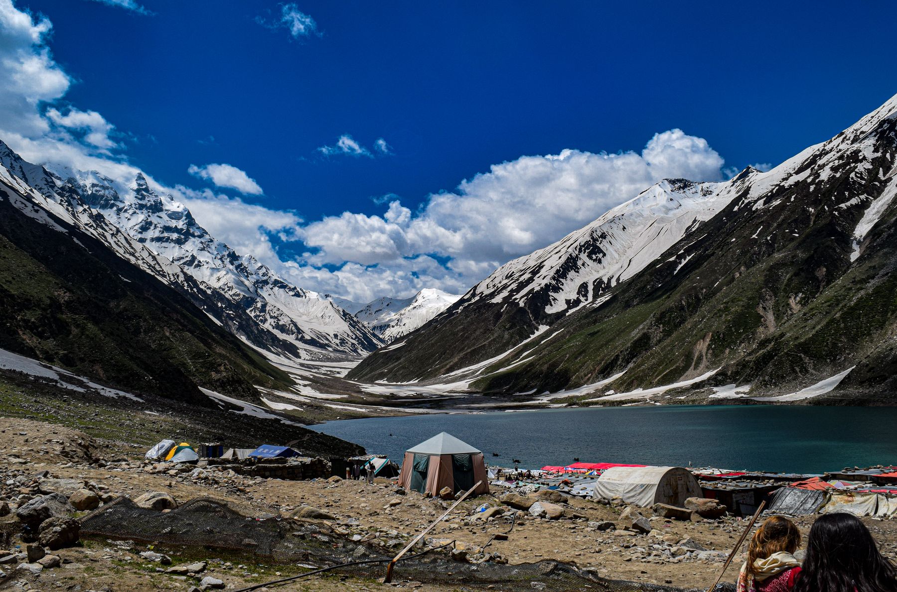
The Kaghan Valley runs east from Balakot along the Kunhar River. Naran is the main town and a base for trips to Lake Saiful Muluk and Babusar Pass. The road to Babusar Pass is usually open from July to September and connects to Gilgit-Baltistan. Outside those months the pass is normally closed by snow.
Abbottabad is the main town of the Hazara region and a useful stop between Islamabad and the northern valleys. The town has a British-era church and the Ilyasi Mosque. Nathia Gali and the nearby hill stations of Dunga Gali and Changla Gali are cooler in summer and popular for short breaks.
The Galyat area has walking trails through pine and oak forest. The road from Murree to Nathia Gali is a common route. In winter snow can fall, and chains may be needed on side roads.
Getting around
Public transport in the province is a mix of buses, vans and shared jeeps. Buses link Peshawar with Swat, Abbottabad and Naran. For side valleys and mountain roads, jeeps are often needed. Services are frequent on main roads and less so in remote valleys.
Hiring a car with a driver is common for multi-day trips. Roads in the mountains are narrow and can be affected by landslides, especially in the monsoon. Allow extra time for delays. Fuel is available in towns but not in every village, so fill up before long stretches.
Distances in the mountains take longer than the map suggests. The road from Peshawar to Chitral, for example, is a long day's drive in good conditions. Check road conditions locally before setting out, and avoid driving mountain roads after dark.
Practical matters
Some areas near the Afghan border and parts of the former tribal districts require a No Objection Certificate (NOC) or have travel advisories. Rules change, so check current official advice before travelling to border areas. Chitral and the Kalash Valleys are generally open, but access beyond Chitral town can require permits.
Cash is needed in most of the province outside Peshawar and Abbottabad. ATMs are found in larger towns but may not work in remote valleys. Carry enough cash for the whole trip. Mobile signal is good in towns and along main roads but patchy in side valleys and on high passes.
Safety conditions vary by area. Travel in the northern valleys is common, but check local advice for border districts. Weather and road conditions are the main risks in the mountains. Travel with a local driver where possible and keep to main routes after dark.
Food and customs
Food in Khyber Pakhtunkhwa is mostly meat, rice and bread. Chapli kebab is associated with Peshawar, and lamb and chicken dishes are common. Vegetarian options are limited outside the main towns. In Chitral and the Kalash Valleys, local dishes include walnut bread and seasonal produce.
The province is largely conservative. Dress modestly, especially in Peshawar and rural areas. Women should cover their heads in mosques and shrines. Ask before photographing people, and respect local customs during Ramadan and festivals.
Hospitality is important. Tea is offered in homes and shops. Accepting it is polite. In the Kalash Valleys, remember that the people are not a tourist display: ask before entering villages or taking part in ceremonies.
Suggested itineraries
A one-week trip could start in Islamabad and go to Swat via the M-1 and the Swat road. Spend two nights in Mingora or Saidu Sharif, then two in Kalam with a day trip to Mahodand Lake. Return via Malam Jabba for a night. End with a day in Peshawar for the bazaars and the museum.
For two weeks, add Chitral. From Swat, go over the Lowari Pass to Chitral, then to the Kalash Valleys for two nights. Return to Peshawar by air or road. Alternatively, from Islamabad go to Naran and Babusar Pass, then continue to Gilgit-Baltistan if the pass is open.
A shorter break of three or four days can be based in Abbottabad and Nathia Gali, with a day in Peshawar by motorway. This suits cooler months when the high valleys are closed.
Frequently asked questions
When is the best time to visit Khyber Pakhtunkhwa?
May to September is best for the northern valleys, when roads and passes are usually open. April and October are quieter and cooler. July and August bring monsoon rain and possible landslides. Peshawar and Abbottabad can be visited year round.
Do you need a permit to visit Chitral and the Kalash Valleys?
Chitral town and the Kalash Valleys are generally open to visitors, but some areas beyond Chitral, especially near the Afghan border, may require a No Objection Certificate (NOC). Rules change, so check current official advice before travelling.
How do you get to Khyber Pakhtunkhwa from Islamabad?
Most visitors drive or take a bus. The M-1 motorway reaches Peshawar in about two hours. The Hazara Motorway gives faster access to Abbottabad and the Kaghan Valley. Peshawar also has an airport with domestic flights.
Is Malam Jabba open in winter?
Malam Jabba has ski slopes and can be visited in winter when snow conditions allow. The access road can be difficult in snow, so check local conditions before driving up. The chairlift runs in season.
What should you carry for a trip to Khyber Pakhtunkhwa?
Carry enough cash for the whole trip, as ATMs are limited outside main towns. Mobile signal is patchy in side valleys. Bring modest clothing and ask before taking photographs. Check road and weather conditions before setting out.