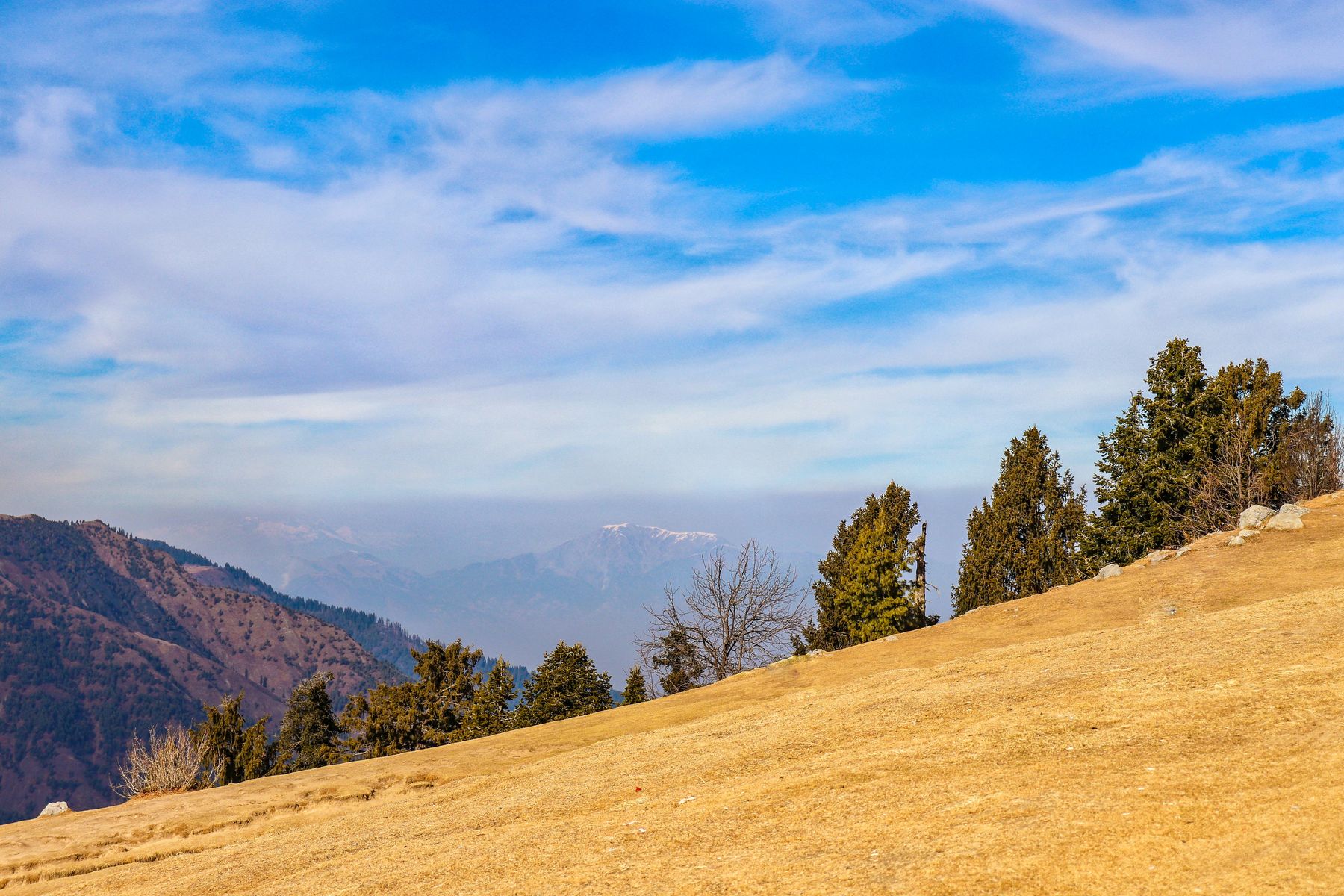
 Photo:
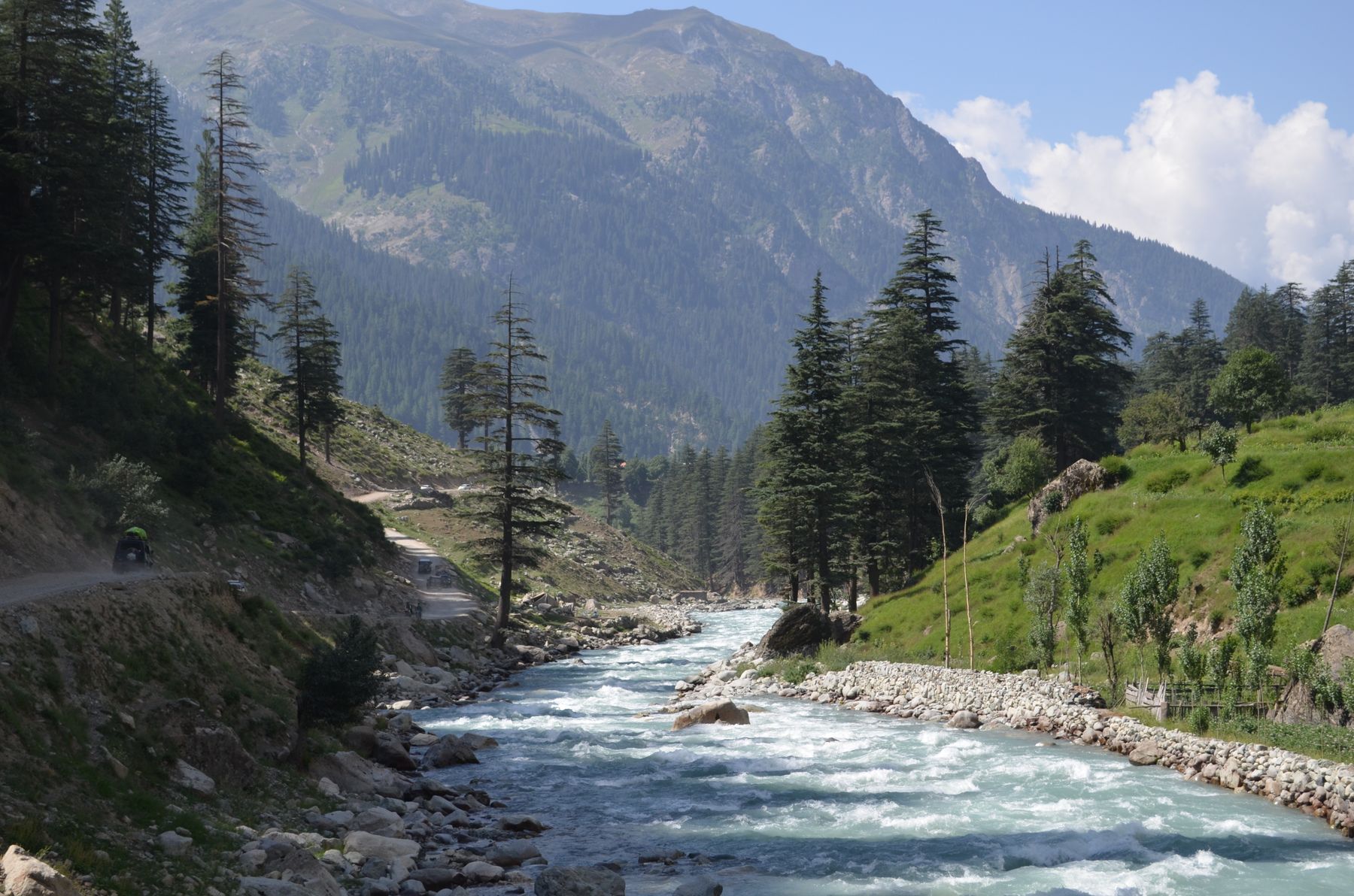
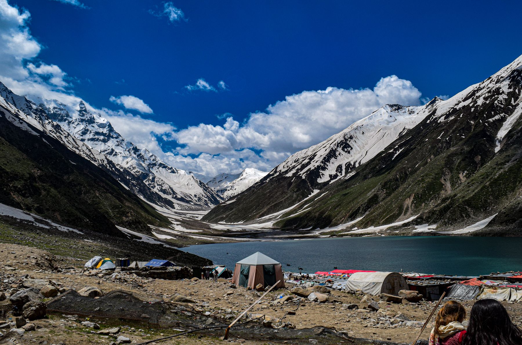
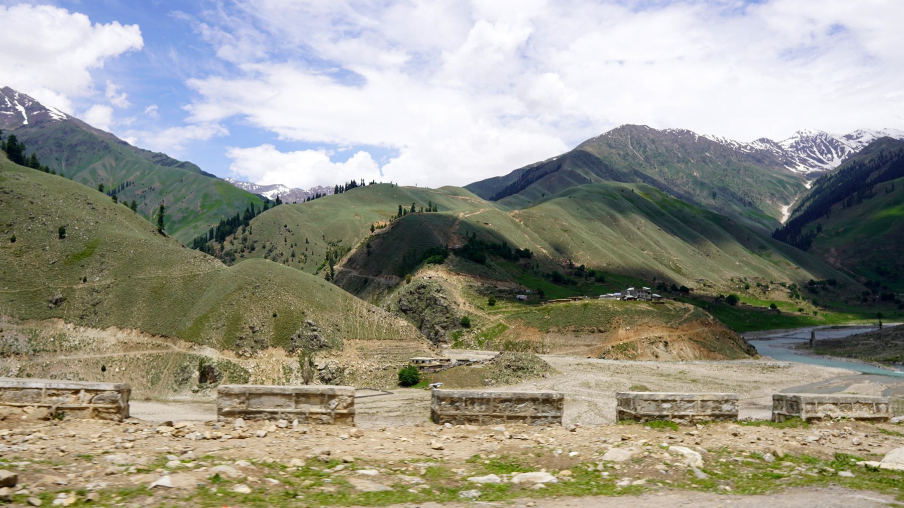
Visiting Nathia Gali
What it is like
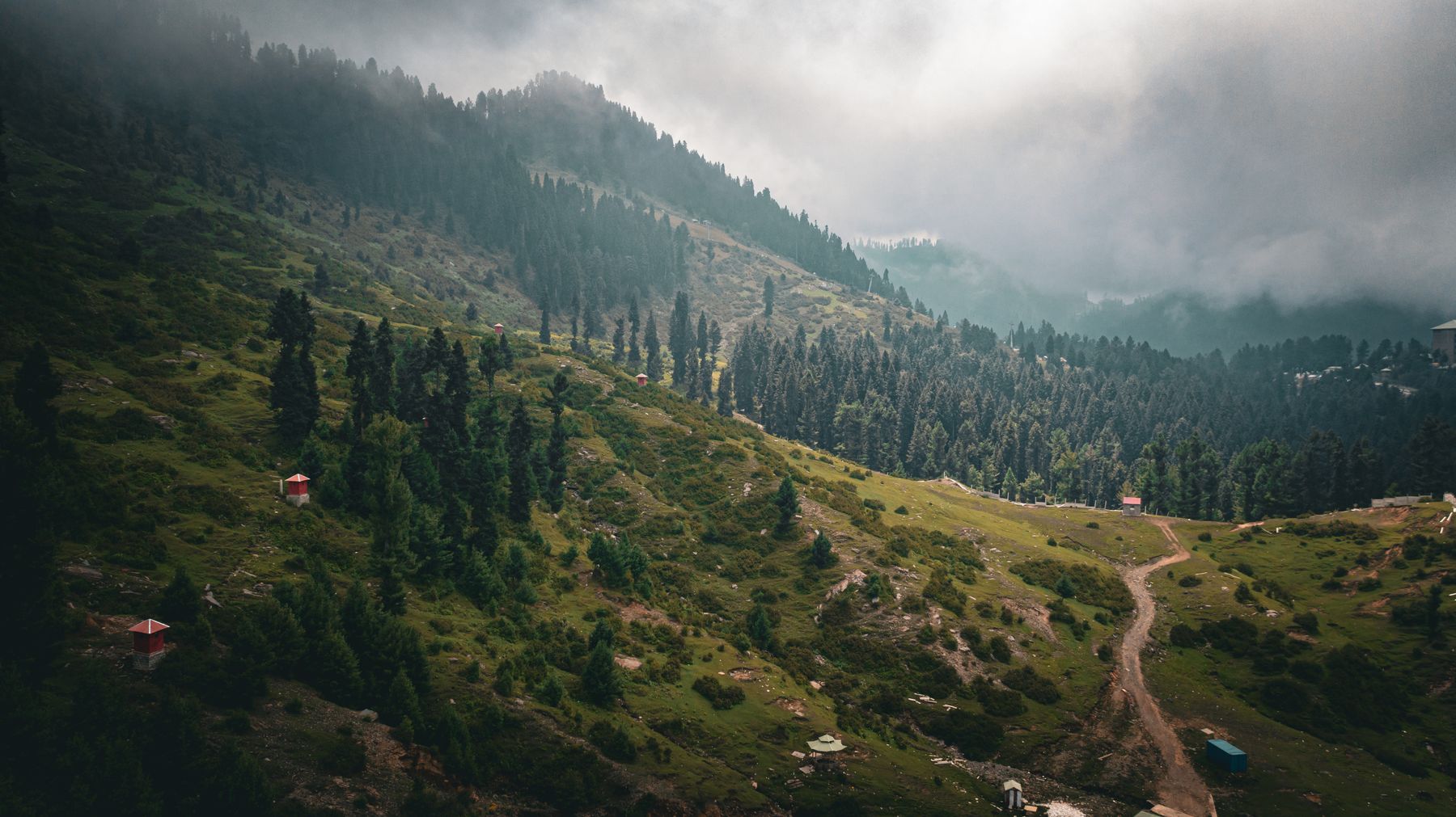
Nathia Gali is one of several small hill stations along the Galyat ridge. The town spreads along a road that follows the crest, with the bazaar at its centre and houses on the slopes below. The air is cool even in midsummer, and the surrounding forest of cedar and pine gives the place a quiet, wooded feel. In winter snow can fall and the road may be affected.
The ridge runs roughly north-west to south-east, linking Dunga Gali, Nathia Gali and Ayubia. Each is a short drive from the next, and the forest between them is crossed by walking tracks. The area is popular with visitors from the plains in summer, and quieter in spring and autumn.
The Galyat ridge
The Galyat is a chain of hills in Khyber Pakhtunkhwa, of which Nathia Gali is one of the main settlements. The ridge road continues to Murree in the Punjab, and the whole area is within reach of Islamabad and Abbottabad. The forest is protected in places, and the walks are the main attraction.
What to see
The main sights are the forest and the views. The walk up Mukshpuri, one of the higher points above the town, takes a few hours and passes through cedar and pine. From the top there are wide views over the surrounding hills. The Pipeline Track, which runs through the forest between Dunga Gali and Ayubia, is a gentler walk and can be done in a morning.
In the town itself, the bazaar is the focus, with shops and food stalls along the main road. The ridge above the town gives views over the hills, and the lanes between the houses are pleasant to wander. A short drive away, Ayubia has a chairlift and more forest paths.
A day or two there
A day in Nathia Gali is enough for the bazaar, a walk on the ridge and a short forest path. With two days, add the climb to Mukshpuri and the Pipeline Track to Ayubia. The chairlift at Ayubia is a short drive and makes a good half-day. In summer, start walks early to avoid the afternoon haze and the busiest hours.
Evenings are cool, and the town is quiet after dark. In winter, snow can make paths slippery and some facilities may close. Check conditions before setting out on longer walks.
Getting there and around
Nathia Gali is reached by road from Abbottabad, which is the nearest large town and has rail and road links to the rest of Pakistan. The drive from Abbottabad climbs through the hills and takes a few hours. From Islamabad, the route via Murree is longer but follows the ridge through other hill stations.
There is no airport or railway at Nathia Gali. Local transport and taxis run along the ridge road between the settlements, and the town itself is small enough to walk. For the forest walks, a short drive or a longer walk from the bazaar is needed.
Road access
The ridge road is narrow in places and can be busy in summer. In winter, snow and ice can close sections, and chains may be needed. Check local advice before travelling in the colder months.
Practical notes
Nathia Gali has a range of places to stay and eat, mostly in and around the bazaar. The season runs from spring to autumn, with May, June and September the most reliable months for walks. July and August are busier and can bring rain. Winter is cold, with snow possible, and some places close.
The area is in Khyber Pakhtunkhwa, and rules on access can change. Some districts near borders or the Line of Control may require a No Objection Certificate (NOC). Check current official advice before travelling. Mobile coverage is limited in parts of the forest, and cash is useful as card payments are not universal.
Weather and packing
Summers are mild, with cool evenings. Bring a light jacket. In winter, warm clothing and waterproof footwear are needed. Snow can fall between December and February, and paths may be icy.
Frequently asked questions
What is the altitude of Nathia Gali?
Nathia Gali sits at about 2,500 m above sea level, on the Galyat ridge in Khyber Pakhtunkhwa. The height gives it cool summers and cold winters, with snow possible in January and February.
How do you get to Nathia Gali?
The usual route is by road from Abbottabad, which takes a few hours up the hill road. From Islamabad, a longer route goes via Murree along the ridge. There is no airport or railway at Nathia Gali.
What is there to see in Nathia Gali?
The main sights are the forest walks, including the climb to Mukshpuri and the Pipeline Track towards Ayubia. The bazaar and the ridge above the town give views over the hills. Ayubia, a short drive away, has a chairlift.
When is the best time to visit Nathia Gali?
May, June and September are the most reliable months, with mild days and cool nights. July and August are busier and can be wet. Winter is cold, with snow possible, and some facilities may close.